
| Distance / Altitude | Location | Report Date / Time | Live Weather | Wind | Gusts | Temp. | Visibility | Cloud |
|---|---|---|---|---|---|---|---|---|
| 6 km ESE / 178 m | SaturnaCapmon-BC (Canada) | 2025-12-25 02:00 local (2025/12/25 10:00 GMT) | - | calm (4 km/h at 240) | — | - | - no observation - | |
| 11 km E / 24 m | Saturna Island Cs- BC (Canada) | 2025-12-25 03:00 local (2025/12/25 11:00 GMT) | - | calm (4 km/h at 250) | — | - | - | |
| 13 km ESE / 216 m | Saturna Island Airport (British Columbia) | 2025-12-25 03:00 local (2025/12/25 11:00 GMT) | - | light winds from the WNW (7 km/h at 290) | 5°C | 0.0 | - - - | |
| 19 km WSW / 122 m | Salt Spring Island wx (Canada) | 2025-12-25 04:18 local (2025/12/25 12:18 GMT) | - | calm (0 km/h at 315) | — | - | - - 0 | |
| 22 km SE / 140 m | Eastsound (Washington) | 2025-12-25 03:34 local (2025/12/25 11:34 GMT) | dry | calm (3 km/h at 107) | 5°C | - | - - 0 | |
| 24 km SSW / 20 m | Victoria International Airport (Canada) | 2025-12-25 03:00 local (2025/12/25 11:00 GMT) | - | light winds from the WNW (15 km/h at 290) | — | 50 km | - mostly cloudy - | |
| 24 km SSW / 216 m | Victoria International Airport (British Columbia) | 2025-12-25 03:00 local (2025/12/25 11:00 GMT) | Dry and partly cloudy | light winds from the W (7 km/h at 260) | 3°C | 48 | scattered | |
| 24 km SSW / 42 m | Sidney- B.c (Cap14) (Canada) | 2025-12-25 03:00 local (2025/12/25 11:00 GMT) | - | calm (4 km/h at 260) | — | - | - | |
| 25 km ESE / 219 m | Eastsound/Orcas Island Airport (Washington) | 2025-12-25 03:35 local (2025/12/25 11:35 GMT) | Dry and cloudy | light winds from the N (11 km/h at 360) | — | 11 | overcast | |
| 26 km W / 67 m | Vesuvius wx (Canada) | 2025-12-25 03:35 local (2025/12/25 11:35 GMT) | dry | calm (0 km/h at 308) | 3°C | - | - - 0 |
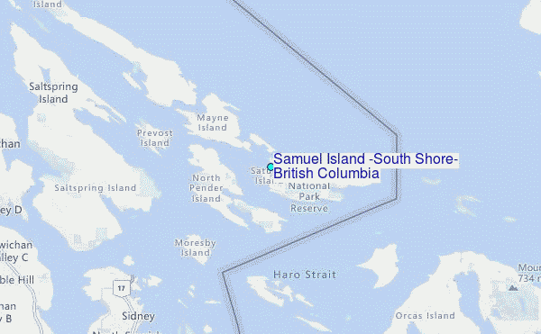
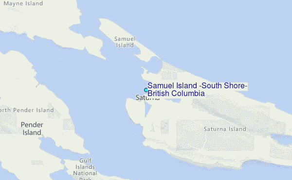
Choose Samuel Island (South Shore), British Columbia Location Map Zoom:
| Contours: | Roads & Rivers: | Select a
tide station / surf break / city |
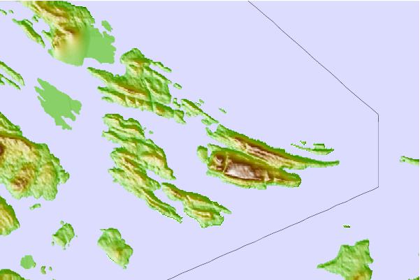
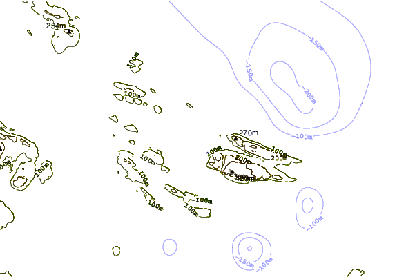
Use this relief map to navigate to tide stations, surf breaks and cities that are in the area of Samuel Island (South Shore), British Columbia.
Other Nearby Locations' tide tables and tide charts to Samuel Island (South Shore), British Columbia:
click location name for more details
 Surf breaks close to Samuel Island (South Shore), British Columbia:
|
||
|---|---|---|
| Closest surf break | Ambleside Park | 36 mi |
| Second closest surf break | Fort. Ebey | 44 mi |
| Third closest surf break | Jordan River | 44 mi |
| Fourth closest surf break | Super green | 47 mi |
| Fifth closest surf break | China Beach | 48 mi |


 Nearest
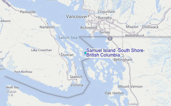