
| Distance / Altitude | Location | Report Date / Time | Live Weather | Wind | Gusts | Temp. | Visibility | Cloud |
|---|---|---|---|---|---|---|---|---|
| 16 km NE / 12 m | Cartwright Airport (Newfoundland) | 2025-12-26 08:02 local (2025/12/26 11:32 GMT) | Moderate snow | wind obs. (0 kph from 0 degs) was rejected (- km/h at -) | — | 0 | ||
| 18 km NNE / 14 m | Cartwright (Canada) | 2025-12-26 08:30 local (2025/12/26 12:00 GMT) | - | wind obs. (7 kph from 230 degs) was rejected (- km/h at -) | — | 1.2 km | - no observation - | |
| 149 km N / 15 m | SHIP3371 (Marine) | 2025-12-26 08:30 local (2025/12/26 12:00 GMT) | severe gales from the NNW (81.72 km/h at 340) | — | - km | |||
| 167 km SSE / 12 m | Mary s Harbour- Nfld (Canada) | 2025-12-26 08:30 local (2025/12/26 12:00 GMT) | - | wind obs. (22 kph from 250 degs) was rejected (- km/h at -) | — | - | - | |
| 168 km SSE / 217 m | Mary's Harbour Airport (Newfoundland) | 2025-12-26 07:30 local (2025/12/26 11:00 GMT) | Light snow | strong winds from the NW (43 km/h at 320) | -2°C | 1 | overcast | |
| 160 km N / 3 m | SHIP5173 (Marine) | 2025-12-26 07:30 local (2025/12/26 11:00 GMT) | severe gales from the NNW (78 km/h at 340) | -2°C | - | |||
| 160 km N / 15 m | SHIP3900 (Marine) | 2025-12-26 07:30 local (2025/12/26 11:00 GMT) | severe gales from the NNW (77.76 km/h at 340) | — | - km | |||
| 160 km N / 15 m | SHIP2863 (Marine) | 2025-12-26 07:30 local (2025/12/26 11:00 GMT) | severe gales from the NNW (77.76 km/h at 340) | — | - km | |||
| 160 km N / 3 m | SHIP2489 (Marine) | 2025-12-26 07:30 local (2025/12/26 11:00 GMT) | severe gales from the NNW (78 km/h at 340) | -2°C | - | |||
| 160 km N / 3 m | SHIP1526 (Marine) | 2025-12-26 07:30 local (2025/12/26 11:00 GMT) | severe gales from the NNW (78 km/h at 340) | -2°C | - |
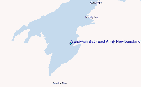
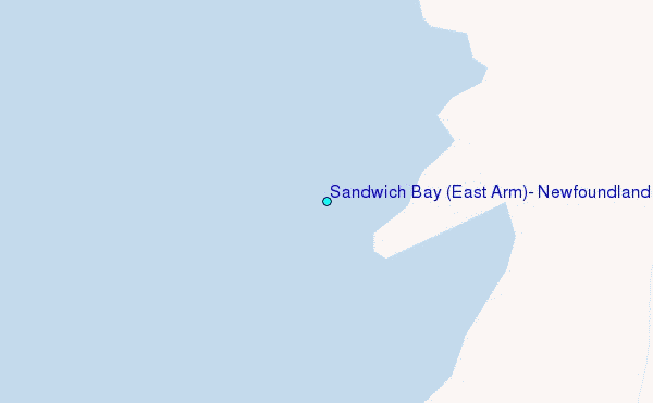
Choose Sandwich Bay (East Arm), Newfoundland Location Map Zoom:
| Contours: | Roads & Rivers: | Select a
tide station / surf break / city |
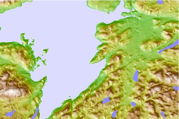
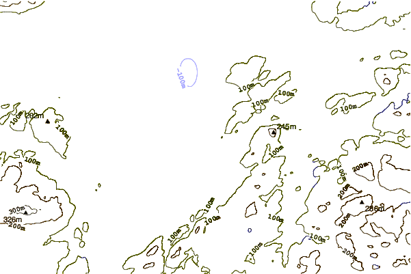
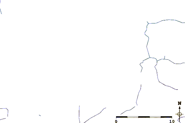
Use this relief map to navigate to tide stations, surf breaks and cities that are in the area of Sandwich Bay (East Arm), Newfoundland.
Other Nearby Locations' tide tables and tide charts to Sandwich Bay (East Arm), Newfoundland:
click location name for more details
 Surf breaks close to Sandwich Bay (East Arm), Newfoundland:
|
||
|---|---|---|
| Closest surf break | Ingonish Beach | 500 mi |
| Second closest surf break | Kennington Cove | 547 mi |
| Third closest surf break | Michaud Point | 575 mi |
| Fourth closest surf break | Martinique | 671 mi |
| Fifth closest surf break | Lawrencetown Left Point | 677 mi |


 Nearest
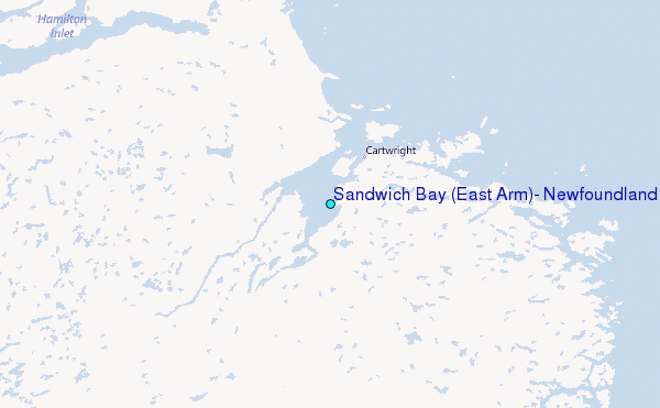