
| Distance / Altitude | Location | Report Date / Time | Live Weather | Wind | Gusts | Temp. | Visibility | Cloud |
|---|---|---|---|---|---|---|---|---|
| 57 km S / 29 m | Okinoerabu/okier (Japan) | 2026-05-25 04:00 local (2026/05/24 19:00 GMT) | Dry and cloudy | light winds from the S.(Wind varies from 130 to 190 degs) (7 km/h at 170) | 24°C | 7.0 | scattered broken overcast | |
| 88 km SSE / 15 m | SHIP2707 (Marine) | 2026-05-25 03:00 local (2026/05/24 18:00 GMT) | light winds from the SSE (16.56 km/h at 160) | 25°C | 8.1 km | |||
| 96 km NE / 416 m | Amami Airport (Japan) | 2026-05-25 04:00 local (2026/05/24 19:00 GMT) | Dry and cloudy | light winds from the E (6 km/h at 100) | 24°C | 8.0 | broken broken overcast | |
| 106 km ENE / 6 m | Kikai Island Airport (Japan) | 2026-05-25 04:00 local (2026/05/24 19:00 GMT) | Dry and cloudy | calm (4 km/h at 1) | 24°C | 10.0 | few overcast broken | |
| 107 km S / 16 m | Yoron Island Airport (Japan) | 2026-05-25 04:00 local (2026/05/24 19:00 GMT) | Fog - | light winds from the SSE (9 km/h at 150) | 25°C | 0.1 | overcast | |
| 88 km SSE / 15 m | SHIP7986 (Marine) | 2026-05-25 03:00 local (2026/05/24 18:00 GMT) | light winds from the SSE (16.56 km/h at 160) | 25°C | 8.1 km | |||
| 88 km SSE / 15 m | SHIP3716 (Marine) | 2026-05-25 03:00 local (2026/05/24 18:00 GMT) | light winds from the SSE (16.56 km/h at 160) | 25°C | 8.1 km | |||
| 96 km NE / 416 m | Amami Airport (Japan) | 2026-05-25 04:00 local (2026/05/24 19:00 GMT) | Dry and cloudy | light winds from the E (6 km/h at 100) | 24°C | 8.0 | broken broken overcast | |
| 106 km S / 16 m | Yoron Island Airport (Japan) | 2026-05-25 04:00 local (2026/05/24 19:00 GMT) | Fog - | light winds from the SSE (9 km/h at 150) | 25°C | 0.1 | overcast | |
| 106 km ENE / 6 m | Kikai Island Airport (Japan) | 2026-05-25 04:00 local (2026/05/24 19:00 GMT) | Dry and cloudy | calm (4 km/h at 1) | 24°C | 10.0 | few overcast broken |
| Contours: | Roads & Rivers: | Select a
tide station / surf break / city |
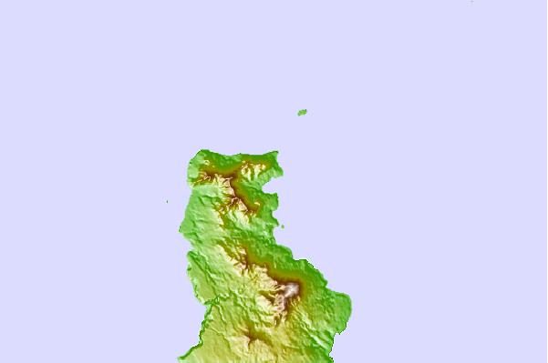
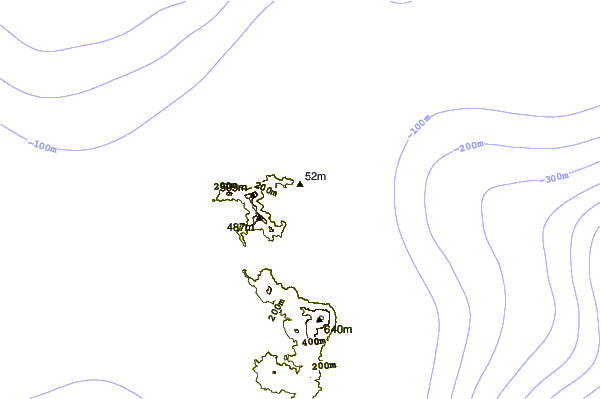
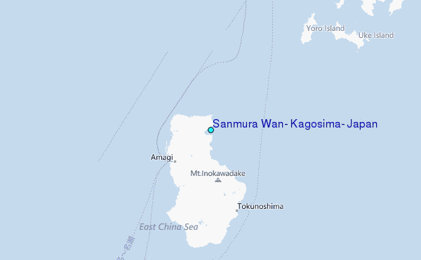
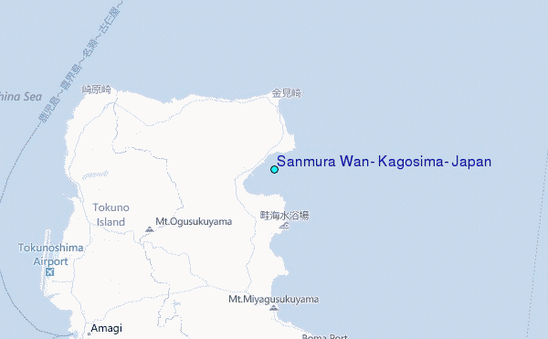
Use this relief map to navigate to tide stations, surf breaks and cities that are in the area of Sanmura Wan, Kagosima, Japan.
Other Nearby Locations' tide tables and tide charts to Sanmura Wan, Kagosima, Japan:
click location name for more details
 Surf breaks close to Sanmura Wan, Kagosima, Japan:
|
||
|---|---|---|
| Closest surf break | Ko-Chan (Hedo Point) | 81 mi |
| Second closest surf break | Oku | 81 mi |
| Third closest surf break | Rocky Point | 83 mi |
| Fourth closest surf break | Ada | 88 mi |
| Fifth closest surf break | Aha Rivermouth | 89 mi |


 Nearest
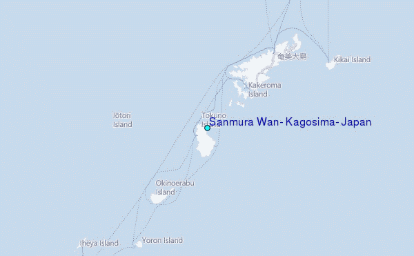