
| Distance / Altitude | Location | Report Date / Time | Live Weather | Wind | Gusts | Temp. | Visibility | Cloud |
|---|---|---|---|---|---|---|---|---|
| 5 km WSW / 8 m | BaseOrcadas (Antarctica) | 2025-12-21 03:00 local (2025/12/21 06:00 GMT) | Light freezing drizzle | moderate winds from the NNE (20 km/h at 20) | 1°C | 3.0 km | overcast | |
| 276 km SSW / 3 m | SHIP4767 (Marine) | 2025-12-21 02:00 local (2025/12/21 05:00 GMT) | - (- km/h at -) | 0°C | - | |||
| 707 km SW / 24 m | BaseEsperanza (Antarctica) | 2025-12-21 03:00 local (2025/12/21 06:00 GMT) | Continuous light snow | moderate winds from the S (24 km/h at 180) | -1°C | 3.0 km | overcast | |
| 727 km SSW / 200 m | BaseMarambio (Antarctica) | 2025-12-21 03:00 local (2025/12/21 06:00 GMT) | State of sky unchanged | light winds from the SE (19 km/h at 140) | -4°C | 35 km | overcast | |
| 277 km SSW / 3 m | SHIP2433 (Marine) | 2025-12-21 02:00 local (2025/12/21 05:00 GMT) | - (- km/h at -) | 0°C | - | |||
| 277 km SSW / 3 m | SHIP1965 (Marine) | 2025-12-21 02:00 local (2025/12/21 05:00 GMT) | - (- km/h at -) | 0°C | - | |||
| 277 km SSW / 15 m | SHIP9067 (Marine) | 2025-12-21 02:00 local (2025/12/21 05:00 GMT) | - (- km/h at -) | — | - km | |||
| 277 km SSW / 15 m | SHIP4948 (Marine) | 2025-12-21 02:00 local (2025/12/21 05:00 GMT) | - (- km/h at -) | — | - km | |||
| 277 km SSW / 15 m | SHIP3209 (Marine) | 2025-12-21 02:00 local (2025/12/21 05:00 GMT) | - (- km/h at -) | — | - km | |||
| 277 km SSW / 15 m | SHIP3534 (Marine) | 2025-12-21 02:00 local (2025/12/21 05:00 GMT) | - (- km/h at -) | — | - km |
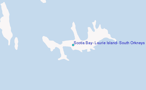
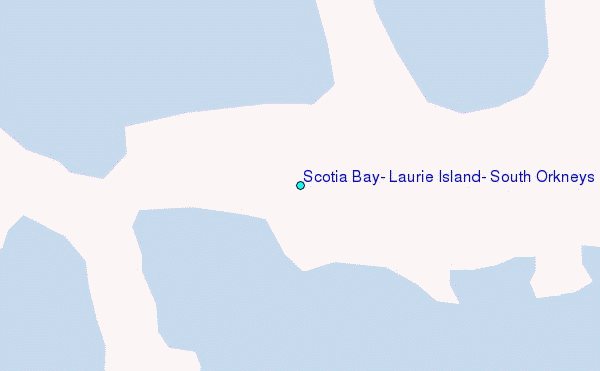
Choose Scotia Bay, Laurie Island, South Orkneys Location Map Zoom:
| Contours: | Roads & Rivers: | Select a
tide station / surf break / city |
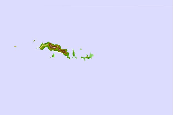
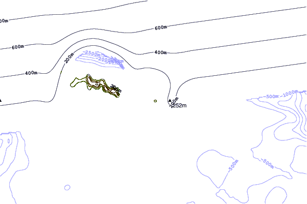
Use this relief map to navigate to tide stations, surf breaks and cities that are in the area of Scotia Bay, Laurie Island, South Orkneys.
Other Nearby Locations' tide tables and tide charts to Scotia Bay, Laurie Island, South Orkneys:
click location name for more details
 Surf breaks close to Scotia Bay, Laurie Island, South Orkneys:
|
||
|---|---|---|
| Closest surf break | Surf Bay | 800 mi |
| Second closest surf break | Bertha's Beach | 803 mi |
| Third closest surf break | Cow Bay | 817 mi |
| Fourth closest surf break | Concirdia Bay | 842 mi |
| Fifth closest surf break | Elephant Beach | 845 mi |


 Nearest
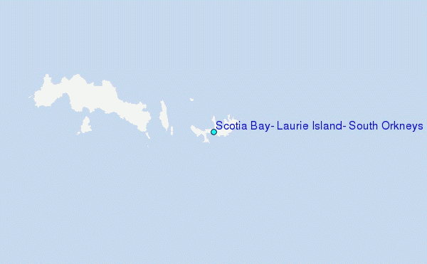