
| Distance / Altitude | Location | Report Date / Time | Live Weather | Wind | Gusts | Temp. | Visibility | Cloud |
|---|---|---|---|---|---|---|---|---|
| 733 km SSW / 232 m | Marambio Airport (Seymour Island) (Antarctica) | 2026-07-09 16:00 local (2026/07/09 19:00 GMT) | Dry and partly cloudy | fresh winds from the SSW (37 km/h at 200) | -14°C | 10.0 | few scattered | |
| 771 km SW / 52 m | Dinamet (Antarctica (ay)) | 2026-07-09 15:00 local (2026/07/09 18:00 GMT) | no report | moderate winds from the WNW (22 km/h at 300) | -3°C | - | - | |
| 779 km SW / 45 m | Teniente R. Marsh Airport (Chile) | 2026-07-09 16:00 local (2026/07/09 19:00 GMT) | Dry and partly cloudy | near gales from the WSW (52 km/h at 240) | -1°C | 10.0 | scattered broken | |
| 780 km SW / 48 m | Centro Met. Antártico Presidente Eduardo Frei (Antarctica) | 2026-07-09 15:00 local (2026/07/09 18:00 GMT) | no report | wind obs. (115 kph from 270 degs) was rejected (- km/h at -) | -4°C | - | - | |
| 1276 km WNW / 15 m | Sea Lion Island (Falkland Islands) | 2026-07-09 14:53 local (2026/07/09 17:53 GMT) | no report | light winds from the SW (19 km/h at 230) | 1°C | - | - | |
| 1305 km WNW / 214 m | Mount Pleasant Airport (Falkland Islands) | 2026-07-09 15:50 local (2026/07/09 18:50 GMT) | no report | light winds from the W (19 km/h at 280) | -3°C | 70 | few broken - | |
| 1305 km WNW / 458 m | Mount Kent (Falkland Islands) | 2026-07-09 14:54 local (2026/07/09 17:54 GMT) | no report | moderate winds from the WSW (24 km/h at 240) | -4°C | - | - - - | |
| 1365 km WNW / 361 m | Mount Alice (Falkland Islands) | 2026-07-09 14:54 local (2026/07/09 17:54 GMT) | - | wind obs. (22 kph from 200 degs) was rejected (- km/h at -) | — | - | - | |
| 1397 km WNW / 16 m | Pebble Island (Falkland Islands) | 2026-07-09 14:51 local (2026/07/09 17:51 GMT) | no report | light winds from the WSW (15 km/h at 240) | 0°C | - | - | |
| 1499 km W / 14 m | Guardiamarina Airport (Chile) | 2026-07-09 15:00 local (2026/07/09 18:00 GMT) | no report | wind obs. (43 kph from 260 degs) was rejected (- km/h at -) | -1°C | - | - |
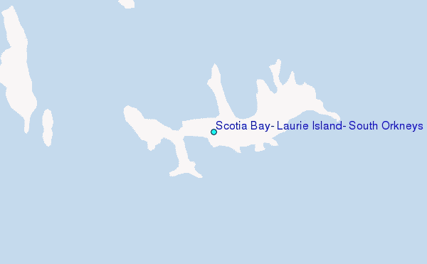
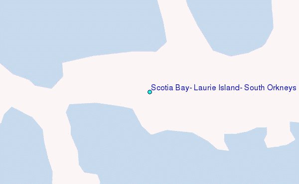
Choose Scotia Bay, Laurie Island, South Orkneys Location Map Zoom:
| Contours: | Roads & Rivers: | Select a
tide station / surf break / city |
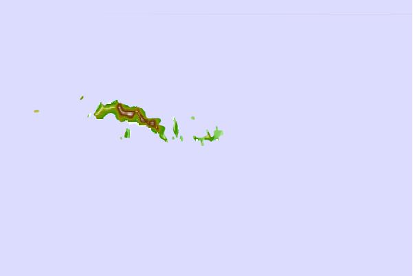
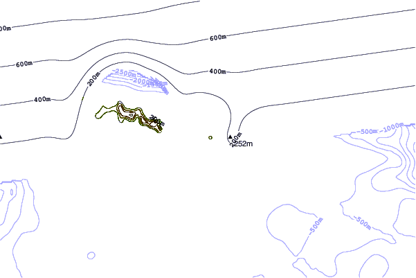
Use this relief map to navigate to tide stations, surf breaks and cities that are in the area of Scotia Bay, Laurie Island, South Orkneys.
Other Nearby Locations' tide tables and tide charts to Scotia Bay, Laurie Island, South Orkneys:
click location name for more details
 Surf breaks close to Scotia Bay, Laurie Island, South Orkneys:
|
||
|---|---|---|
| Closest surf break | Surf Bay | 800 mi |
| Second closest surf break | Bertha's Beach | 803 mi |
| Third closest surf break | Cow Bay | 817 mi |
| Fourth closest surf break | Concirdia Bay | 842 mi |
| Fifth closest surf break | Elephant Beach | 845 mi |


 Nearest
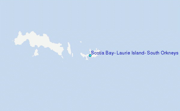