
| Distance / Altitude | Location | Report Date / Time | Live Weather | Wind | Gusts | Temp. | Visibility | Cloud |
|---|---|---|---|---|---|---|---|---|
| 103 km S / 217 m | Rankin Inlet Airport (N.w. Territories) | 2025-12-24 19:30 local (2025/12/25 00:30 GMT) | Light snow | fresh winds from the WNW (37 km/h at 300) | — | 2 | ||
| 103 km S / 32 m | Rankin Inlet Airport (Canada) | 2025-12-24 19:00 local (2025/12/25 00:00 GMT) | - | fresh winds from the WNW (33 km/h at 290) | — | 3.2 km | - no observation - | |
| 257 km W / 8 m | Baker Lake Ua- NU (Canada) | 2025-12-24 20:00 local (2025/12/25 01:00 GMT) | - | light winds from the N (11 km/h at 360) | — | - | - - - | |
| 259 km W / 214 m | Baker Lake Airport (N.w. Territories) | 2025-12-24 19:24 local (2025/12/25 00:24 GMT) | Light snow | fresh winds from the W (31 km/h at 280) | -19°C | 24 | broken broken | |
| 265 km NNE / 18 m | Wager Bay (Nunavut) | 2025-12-24 19:00 local (2025/12/25 00:00 GMT) | - | light winds from the NW (6 km/h at 310) | -28°C | 0.0 | ||
| 320 km S / 215 m | Arviat Airport (N.w. Territories) | 2025-12-24 19:35 local (2025/12/25 00:35 GMT) | - | fresh winds from the NW (37 km/h at 310) | -23°C | 0.0 | broken | |
| 321 km S / 10 m | Arviat A- NU (Canada) | 2025-12-24 20:00 local (2025/12/25 01:00 GMT) | - | light winds from the WNW (18 km/h at 290) | — | - | - - - | |
| 381 km ENE / 215 m | Coral Harbour Airport (N.w. Territories) | 2025-12-24 19:00 local (2025/12/25 00:00 GMT) | Ice crystals | light winds from the W (9 km/h at 270) | -30°C | 24 | few | |
| 381 km ENE / 22 m | Coral Harbour Airport (Canada) | 2025-12-24 20:00 local (2025/12/25 01:00 GMT) | - | - (- km/h at -) | — | - | - - - | |
| 395 km NNE / 297 m | Repulse Bay Airport (N.w. Territories) | 2025-12-24 18:00 local (2025/12/24 23:00 GMT) | Low drifting moderate snow | strong winds from the NNW (44 km/h at 340) | -29°C | 16 | broken |
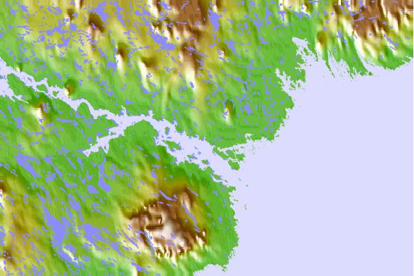
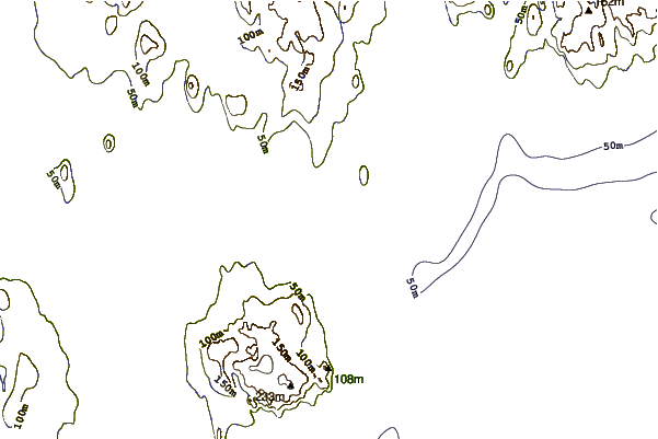
| Contours: | Roads & Rivers: | Select a
tide station / surf break / city |
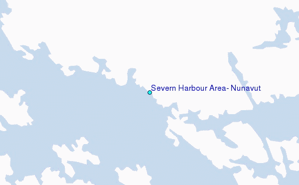
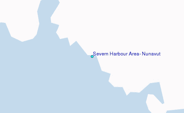
Use this relief map to navigate to tide stations, surf breaks and cities that are in the area of Severn Harbour Area, Nunavut.
Other Nearby Locations' tide tables and tide charts to Severn Harbour Area, Nunavut:
click location name for more details
 Surf breaks close to Severn Harbour Area, Nunavut:
|
||
|---|---|---|
| Closest surf break | Marathon | 1042 mi |
| Second closest surf break | Keweenaw Peninsula | 1121 mi |
| Third closest surf break | Apostle Islands | 1143 mi |
| Fourth closest surf break | Stoney Point | 1150 mi |
| Fifth closest surf break | Ontonagon | 1157 mi |


 Nearest
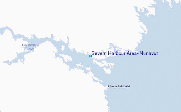