
| Distance / Altitude | Location | Report Date / Time | Live Weather | Wind | Gusts | Temp. | Visibility | Cloud |
|---|---|---|---|---|---|---|---|---|
| 20 km SSW / 9 m | Takoradi (afb) (Ghana) | 2025-12-23 23:00 local (2025/12/23 23:00 GMT) | - | calm (0 km/h at 0) | 28°C | 10.0 | few | |
| 154 km ENE / 74 m | Adeiso-Ndoda (Ghana) | 2025-12-24 00:00 local (2025/12/24 00:00 GMT) | - | calm (0 km/h at 340) | 25°C | - | - - 0 | |
| 177 km ENE / 197 m | Accra/Kotoka International Airport (Ghana) | 2025-12-23 23:00 local (2025/12/23 23:00 GMT) | Dry and partly cloudy | light winds from the SSW (17 km/h at 210) | 28°C | 10.0 | broken | |
| 191 km N / 293 m | Kumasi (Ghana) | 2025-12-23 23:00 local (2025/12/23 23:00 GMT) | Dry and partly cloudy | light winds from the SW (15 km/h at 230) | 28°C | 10.0 | broken | |
| 216 km ENE / 90 m | Somanya USED (Ghana) | 2025-12-24 00:00 local (2025/12/24 00:00 GMT) | - | calm (2 km/h at 182) | 25°C | - | - - 0 | |
| 253 km WSW / 218 m | Abidjan Port Bou Airport (Cote D'ivoire) | 2025-12-23 23:30 local (2025/12/23 23:30 GMT) | Dry and partly cloudy | light winds from the SSW (17 km/h at 210) | 28°C | 8.0 | scattered | |
| 285 km N / 329 m | Techiman NOG-Farm (Ghana) | 2025-12-24 00:00 local (2025/12/24 00:00 GMT) | - | calm (4 km/h at 187) | 24°C | - | - - 0 | |
| 328 km NE / 641 m | Kouma -Konda (Togo) | 2025-12-23 22:00 local (2025/12/23 22:00 GMT) | fog, sky visible, thinning | - (- km/h at -) | 22°C | 700 | - | |
| 337 km SE / 3 m | SHIP6503 (Marine) | 2025-12-24 00:00 local (2025/12/24 00:00 GMT) | moderate winds from the SSW (26 km/h at 200) | 27°C | 20.4 | |||
| 337 km SE / 15 m | SHIP6722 (Marine) | 2025-12-24 00:00 local (2025/12/24 00:00 GMT) | moderate winds from the SSW (25.92 km/h at 200) | 29°C | 17.7 km |
| Contours: | Roads & Rivers: | Select a
tide station / surf break / city |
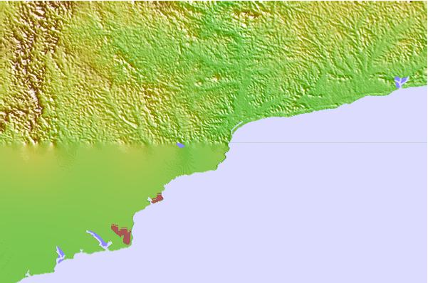
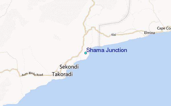
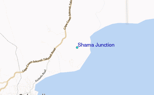
Use this relief map to navigate to tide stations, surf breaks and cities that are in the area of Shama Junction.
Other Nearby Locations' tide tables and tide charts to Shama Junction:
click location name for more details
 Surf breaks close to Shama Junction:
|
||
|---|---|---|
| Closest surf break | Fort Sebastian | 2 mi |
| Second closest surf break | Takoradi | 11 mi |
| Third closest surf break | Elmina | 19 mi |
| Fourth closest surf break | Busua Beach | 22 mi |
| Fifth closest surf break | Dixcove | 26 mi |


 Nearest
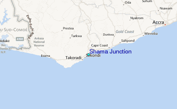