
| Distance / Altitude | Location | Report Date / Time | Live Weather | Wind | Gusts | Temp. | Visibility | Cloud |
|---|---|---|---|---|---|---|---|---|
| 4 km SSW / 3 m | BUOY-AMRL1 (Marine) | 2026-04-05 01:00 local (2026/04/05 06:00 GMT) | - (0 km/h at -) | 24°C | - | |||
| 14 km S / 3 m | BUOY-EINL1 (Marine) | 2026-04-05 01:00 local (2026/04/05 06:00 GMT) | light winds from the S (15 km/h at 180) | 24°C | - | |||
| 23 km NNE / 3 m | BUOY-TESL1 (Marine) | 2026-04-05 01:00 local (2026/04/05 06:00 GMT) | - (0 km/h at -) | 23°C | - | |||
| 27 km N / 209 m | Patterson Williams Memorial Airport (Louisiana) | 2026-04-04 23:56 local (2026/04/05 04:56 GMT) | Clear | light winds from the S (6 km/h at 180) | 22°C | 16 | ||
| 46 km W / 0 m | lightning 24km SW of Baldwin (United States) | 2026-04-04 23:46 local (2026/04/05 04:46 GMT) | Thunderstorm | (- km/h at -) | — | |||
| 53 km WNW / 2 m | lightning 9km S of Jeanerette (United States) | 2026-04-05 00:18 local (2026/04/05 05:18 GMT) | Thunderstorm | (- km/h at -) | — | |||
| 59 km NW / 1 m | lightning 11km N of Charenton (United States) | 2026-04-05 00:20 local (2026/04/05 05:20 GMT) | Thunderstorm | (- km/h at -) | — | |||
| 68 km WNW / 2 m | lightning 14km S of New Iberia (United States) | 2026-04-04 23:46 local (2026/04/05 04:46 GMT) | Thunderstorm | (- km/h at -) | — | |||
| 80 km NW / 1 m | lightning 14km ENE of Saint Martinville (United States) | 2026-04-04 23:19 local (2026/04/05 04:19 GMT) | Thunderstorm | (- km/h at -) | — | |||
| 84 km WNW / 218 m | New Iberia Airport (Louisiana) | 2026-04-05 00:01 local (2026/04/05 05:01 GMT) | Light rain | light winds from the S (7 km/h at 190) | 21°C | 16 | overcast |

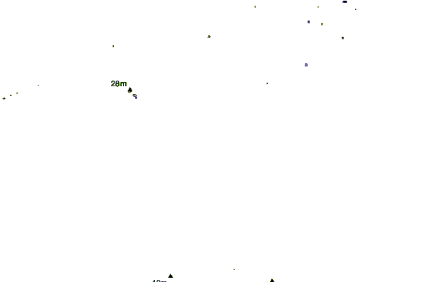
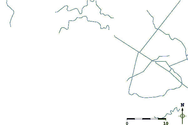
| Contours: | Roads & Rivers: | Select a
tide station / surf break / city |
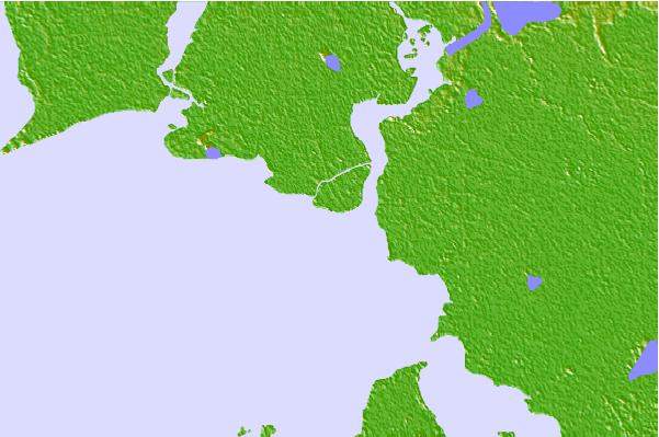
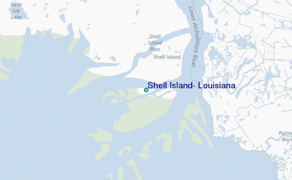
Use this relief map to navigate to tide stations, surf breaks and cities that are in the area of Shell Island, Louisiana.
Other Nearby Locations' tide tables and tide charts to Shell Island, Louisiana:
click location name for more details
 Surf breaks close to Shell Island, Louisiana:
|
||
|---|---|---|
| Closest surf break | Holly Beach | 131 mi |
| Second closest surf break | Chandeleur Islands | 150 mi |
| Third closest surf break | Bolivar | 190 mi |
| Fourth closest surf break | Dauphin Island Pier | 201 mi |
| Fifth closest surf break | Meacom Pier | 206 mi |


 Nearest
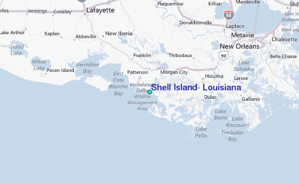