
| Distance / Altitude | Location | Report Date / Time | Live Weather | Wind | Gusts | Temp. | Visibility | Cloud |
|---|---|---|---|---|---|---|---|---|
| 98 km WNW / 1 m | Herschel Island- YT (Canada) | 2025-12-24 23:00 local (2025/12/25 06:00 GMT) | no report | calm (4 km/h at 360) | — | - | - - - | |
| 104 km NE / 17 m | Pelly Island- Nwt (Canada) | 2025-12-24 23:00 local (2025/12/25 06:00 GMT) | - | light winds from the WNW (11 km/h at 290) | — | - | - | |
| 105 km NE / 2 m | Pelly Island Airport (Canada) | 2025-12-24 23:00 local (2025/12/25 06:00 GMT) | - | fresh winds from the WNW (37 km/h at 300) | — | 0.0 | ||
| 121 km W / 244 m | Ivvavik Nat. Park- YT (Canada) | 2025-12-25 00:00 local (2025/12/25 07:00 GMT) | - | light winds from the SSW (18 km/h at 200) | — | - | - | |
| 131 km E / 261 m | Storm Hills Airport (Canada) | 2025-12-25 00:00 local (2025/12/25 07:00 GMT) | no report | - (- km/h at -) | — | - | - | |
| 141 km WNW / 13 m | Komakuk Beach- YT (Canada) | 2025-12-25 00:00 local (2025/12/25 07:00 GMT) | - | light winds from the W (7 km/h at 280) | — | - | - - - | |
| 148 km WSW / 568 m | Margaret Lake- YT (Canada) | 2025-12-25 00:00 local (2025/12/25 07:00 GMT) | - | calm (0 km/h at 150) | — | - | - - - | |
| 150 km E / 197 m | Trail Valley Airport (N.w. Territories) | 2025-12-24 23:00 local (2025/12/25 06:00 GMT) | - | strong winds from the W (46 km/h at 280) | -13°C | 0.0 | ||
| 151 km E / 85 m | Trail Valley (Canada) | 2025-12-24 23:00 local (2025/12/25 06:00 GMT) | - | calm (4 km/h at 340) | — | - | - - - | |
| 165 km ESE / 85 m | Inuvik Airport (Northwest Territories) | 2025-12-24 23:01 local (2025/12/25 06:01 GMT) | - | moderate winds from the WNW (22 km/h at 300) | -12°C | 0.0 | - - - |
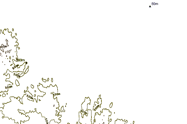
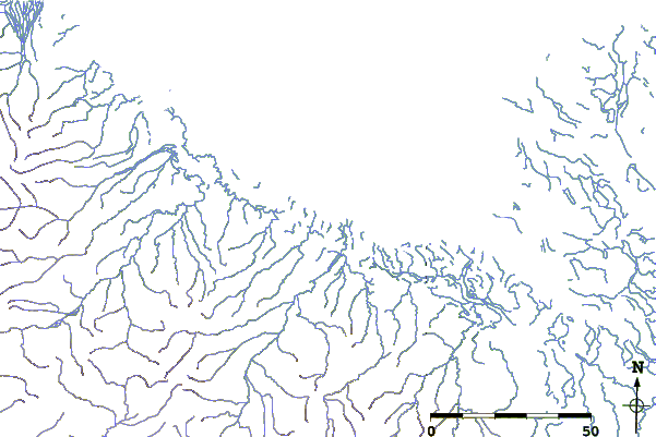
| Contours: | Roads & Rivers: | Select a
tide station / surf break / city |
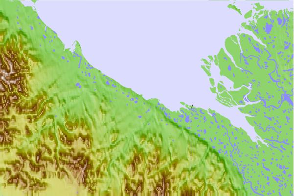
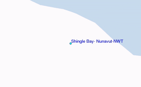
Use this relief map to navigate to tide stations, surf breaks and cities that are in the area of Shingle Bay, Nunavut/NWT.
Other Nearby Locations' tide tables and tide charts to Shingle Bay, Nunavut/NWT:
click location name for more details
 Surf breaks close to Shingle Bay, Nunavut/NWT:
|
||
|---|---|---|
| Closest surf break | Graveyards | 653 mi |
| Second closest surf break | Ocean Cape | 654 mi |
| Third closest surf break | Cannon Beach | 656 mi |
| Fourth closest surf break | Bird Point (Tidal Bore) | 701 mi |
| Fifth closest surf break | Termination Point | 893 mi |


 Nearest
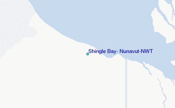