
| Distance / Altitude | Location | Report Date / Time | Live Weather | Wind | Gusts | Temp. | Visibility | Cloud |
|---|---|---|---|---|---|---|---|---|
| 10 km SW / 680 m | Mount Unzendake (Japan) | 2025-12-25 17:00 local (2025/12/25 08:00 GMT) | - | moderate winds from the WNW (24 km/h at 300) | 2°C | 40 km | - no observation - | |
| 32 km E / 39 m | Kumamoto (Japan) | 2025-12-25 17:00 local (2025/12/25 08:00 GMT) | - | light winds from the WNW (19 km/h at 300) | 8°C | 40 km | no observation | |
| 43 km N / 199 m | Saga Airport (Japan) | 2025-12-25 16:00 local (2025/12/25 07:00 GMT) | Dry and partly cloudy | moderate winds from the WNW (24 km/h at 300) | 9°C | 10.0 | few scattered broken | |
| 44 km E / 474 m | Kumamoto Airport (Japan) | 2025-12-25 16:00 local (2025/12/25 07:00 GMT) | Dry and partly cloudy | light winds from the WNW.(Wind varies from 270 to 340 degs) (19 km/h at 300) | 8°C | 10.0 | few broken broken | |
| 45 km W / 474 m | Nagasaki Airport (Japan) | 2025-12-25 16:00 local (2025/12/25 07:00 GMT) | Dry and partly cloudy | strong winds from the NW (44 km/h at 320) | 9°C | 10.0 | few broken broken | |
| 48 km WSW / 240 m | Nagasaki (Japan) | 2025-12-25 17:00 local (2025/12/25 08:00 GMT) | - | light winds from the NW (19 km/h at 320) | 8°C | 40 km | - no observation - | |
| 54 km N / 5 m | Saga (Japan) | 2025-12-25 17:00 local (2025/12/25 08:00 GMT) | - | moderate winds from the WNW (20 km/h at 300) | 8°C | 40 km | no observation | |
| 70 km S / 14 m | Ushibuka (Japan) | 2025-12-25 17:00 local (2025/12/25 08:00 GMT) | - | light winds from the NW (13 km/h at 320) | 9°C | 40 km | - no observation - | |
| 71 km SSE / 147 m | Hitoyoshi (Japan) | 2025-12-25 17:00 local (2025/12/25 08:00 GMT) | - | wind obs. (6 kph from 280 degs) was rejected (- km/h at -) | 8°C | 40 km | - no observation - | |
| 74 km WNW / 6 m | Sasebo (Japan) | 2025-12-25 17:00 local (2025/12/25 08:00 GMT) | - | fresh winds from the NW (31 km/h at 320) | 8°C | 40 km | - no observation - |
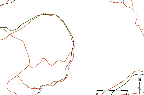
| Contours: | Roads & Rivers: | Select a
tide station / surf break / city |

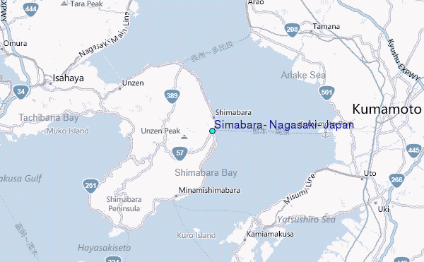
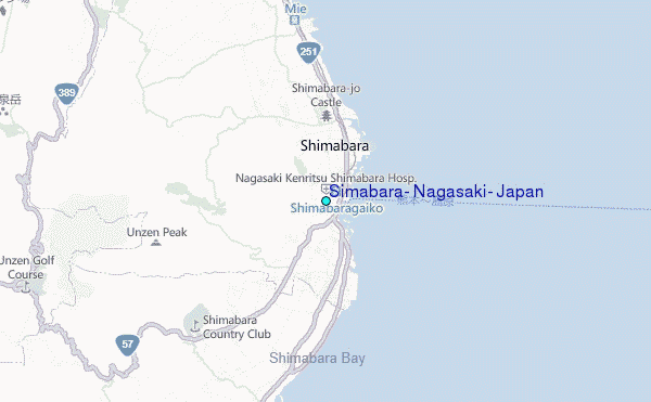
Use this relief map to navigate to tide stations, surf breaks and cities that are in the area of Simabara, Nagasaki, Japan.
Other Nearby Locations' tide tables and tide charts to Simabara, Nagasaki, Japan:
click location name for more details
 Surf breaks close to Simabara, Nagasaki, Japan:
|
||
|---|---|---|
| Closest surf break | Nomozaki | 39 mi |
| Second closest surf break | Fukuoka | 55 mi |
| Third closest surf break | Kodogawa | 78 mi |
| Fourth closest surf break | Kanegahama | 78 mi |
| Fifth closest surf break | Mimitsu | 78 mi |


 Nearest
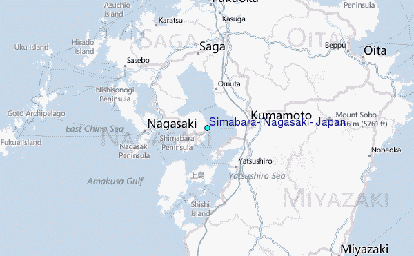