
| Distance / Altitude | Location | Report Date / Time | Live Weather | Wind | Gusts | Temp. | Visibility | Cloud |
|---|---|---|---|---|---|---|---|---|
| 140 km WNW / 15 m | SHIP2217 (Marine) | 2026-07-03 18:00 local (2026/07/03 22:00 GMT) | moderate winds from the S (25.92 km/h at 170) | 3°C | - km | |||
| 140 km WNW / 3 m | SHIP172 (Marine) | 2026-07-03 18:00 local (2026/07/03 22:00 GMT) | moderate winds from the S (26 km/h at 170) | 6°C | - | |||
| 140 km WNW / 3 m | SHIP2069 (Marine) | 2026-07-03 18:00 local (2026/07/03 22:00 GMT) | moderate winds from the S (26 km/h at 170) | 6°C | - | |||
| 140 km WNW / 15 m | SHIP6290 (Marine) | 2026-07-03 18:00 local (2026/07/03 22:00 GMT) | moderate winds from the S (25.92 km/h at 170) | 3°C | - km | |||
| 140 km WNW / 3 m | SHIP3305 (Marine) | 2026-07-03 18:00 local (2026/07/03 22:00 GMT) | moderate winds from the S (26 km/h at 170) | 6°C | - | |||
| 140 km WNW / 3 m | SHIP2799 (Marine) | 2026-07-03 18:00 local (2026/07/03 22:00 GMT) | moderate winds from the S (26 km/h at 170) | 6°C | - | |||
| 140 km WNW / 15 m | SHIP2915 (Marine) | 2026-07-03 18:00 local (2026/07/03 22:00 GMT) | moderate winds from the S (25.92 km/h at 170) | 3°C | - km | |||
| 140 km WNW / 15 m | SHIP7573 (Marine) | 2026-07-03 18:00 local (2026/07/03 22:00 GMT) | moderate winds from the S (25.92 km/h at 170) | 3°C | - km | |||
| 140 km WNW / 3 m | SHIP5340 (Marine) | 2026-07-03 18:00 local (2026/07/03 22:00 GMT) | moderate winds from the S (26 km/h at 170) | 6°C | - | |||
| 140 km WNW / 3 m | SHIP1210 (Marine) | 2026-07-03 18:00 local (2026/07/03 22:00 GMT) | moderate winds from the S (26 km/h at 170) | 6°C | - |
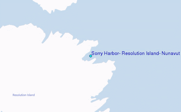
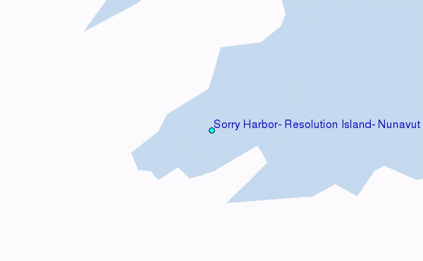
Choose Sorry Harbor, Resolution Island, Nunavut Location Map Zoom:
| Contours: | Roads & Rivers: | Select a
tide station / surf break / city |
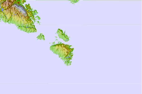
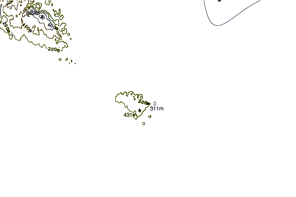
Use this relief map to navigate to tide stations, surf breaks and cities that are in the area of Sorry Harbor, Resolution Island, Nunavut.
Other Nearby Locations' tide tables and tide charts to Sorry Harbor, Resolution Island, Nunavut:
click location name for more details
 Surf breaks close to Sorry Harbor, Resolution Island, Nunavut:
|
||
|---|---|---|
| Closest surf break | Ingonish Beach | 1050 mi |
| Second closest surf break | Kennington Cove | 1104 mi |
| Third closest surf break | Michaud Point | 1121 mi |
| Fourth closest surf break | Martinique | 1172 mi |
| Fifth closest surf break | Lawrencetown Reef | 1175 mi |


 Nearest
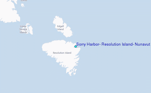