
| Distance / Altitude | Location | Report Date / Time | Live Weather | Wind | Gusts | Temp. | Visibility | Cloud |
|---|---|---|---|---|---|---|---|---|
| 137 km SSW / 47 m | Gjoa Haven (Canada) | 2026-05-12 08:00 local (2026/05/12 14:00 GMT) | no report | light winds from the N (11 km/h at 350) | -1°C | - | - - - | |
| 137 km SSW / 47 m | Gjoa Haven A- NU (Canada) | 2026-05-12 07:00 local (2026/05/12 13:00 GMT) | no report | wind obs. (11 kph from 350 degs) was rejected (- km/h at -) | -1°C | - | - - - | |
| 138 km SSW / 217 m | Gjoa Haven Airport (N.w. Territories) | 2026-05-12 07:35 local (2026/05/12 13:35 GMT) | - | strong winds from the WNW (41 km/h at 300) | -12°C | 0.0 | scattered | |
| 186 km SE / 17 m | Kugaaruk Climate (Canada) | 2026-05-12 06:00 local (2026/05/12 12:00 GMT) | no report | light winds from the N (7 km/h at 10) | 2°C | - | - - - | |
| 186 km SE / 325 m | Pelly Bay Airport (N.w. Territories) | 2026-05-12 07:27 local (2026/05/12 13:27 GMT) | Dry and cloudy | moderate winds from the SSW (28 km/h at 210) | -5°C | 16 | overcast | |
| 278 km N / 10 m | Fort Ross- NU (Canada) | 2026-05-12 06:00 local (2026/05/12 12:00 GMT) | - | wind obs. (18 kph from 320 degs) was rejected (- km/h at -) | — | - | - - - | |
| 442 km SSE / 18 m | Wager Bay (Nunavut) | 2026-05-12 07:00 local (2026/05/12 13:00 GMT) | - | calm (4 km/h at 220) | -1°C | 0.0 | ||
| 453 km SE / 297 m | Repulse Bay Airport (N.w. Territories) | 2026-05-12 07:27 local (2026/05/12 13:27 GMT) | Light snow | moderate winds from the S (26 km/h at 180) | -4°C | 1 | overcast | |
| 458 km E / 274 m | Igloolik Airport (N.w. Territories) | 2026-05-12 07:29 local (2026/05/12 13:29 GMT) | Light snow | fresh winds from the SSE (31 km/h at 150) | -3°C | 1 | overcast | |
| 459 km WSW / 19 m | Cambridge Bay Gsn- NU (Canada) | 2026-05-12 08:00 local (2026/05/12 14:00 GMT) | - | wind obs. (14 kph from 80 degs) was rejected (- km/h at -) | — | - | - |
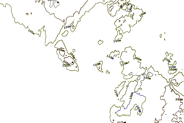
| Contours: | Roads & Rivers: | Select a
tide station / surf break / city |
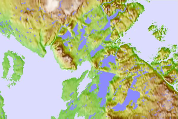
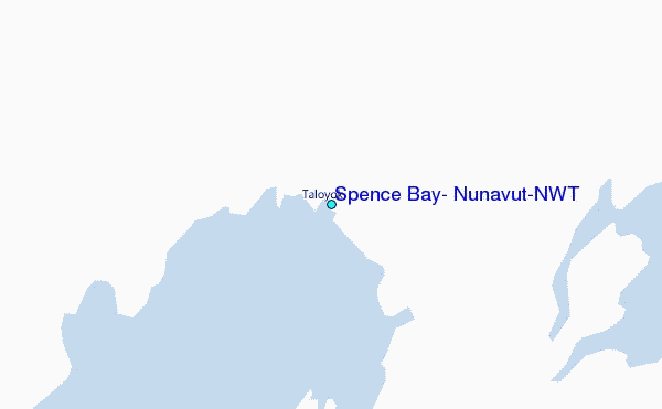
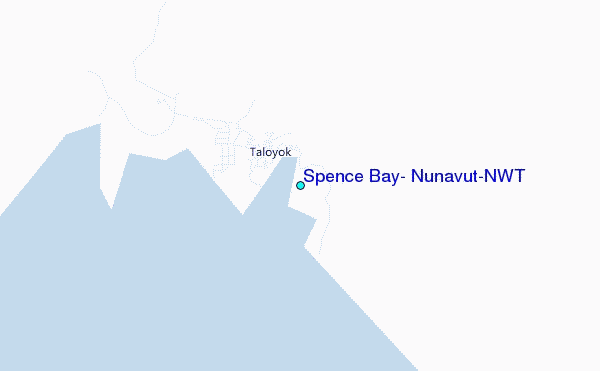
Use this relief map to navigate to tide stations, surf breaks and cities that are in the area of Spence Bay, Nunavut/NWT.
Other Nearby Locations' tide tables and tide charts to Spence Bay, Nunavut/NWT:
click location name for more details
 Surf breaks close to Spence Bay, Nunavut/NWT:
|
||
|---|---|---|
| Closest surf break | Marathon | 1457 mi |
| Second closest surf break | Graveyards | 1492 mi |
| Third closest surf break | Cannon Beach | 1493 mi |
| Fourth closest surf break | Ocean Cape | 1494 mi |
| Fifth closest surf break | Keweenaw Peninsula | 1537 mi |


 Nearest
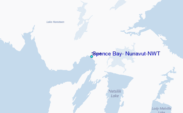