
| Distance / Altitude | Location | Report Date / Time | Live Weather | Wind | Gusts | Temp. | Visibility | Cloud |
|---|---|---|---|---|---|---|---|---|
| 18 km S / 31 m | LA Pocatiere- Que (Canada) | 2026-04-11 19:00 local (2026/04/11 23:00 GMT) | - | wind obs. (18 kph from 230 degs) was rejected (- km/h at -) | — | - | - no observation - | |
| 19 km S / 198 m | LA Pocatiere Airport (Quebec) | 2026-04-11 18:00 local (2026/04/11 22:00 GMT) | - | moderate winds from the WNW (24 km/h at 300) | 5°C | 0.0 | ||
| 37 km SW / 1 m | Baie-Saint-Paul (Canada) | 2026-04-11 19:17 local (2026/04/11 23:17 GMT) | dry | wind obs. (40 kph from 25 degs) was rejected (- km/h at -) | 4°C | - | - - 0 | |
| 47 km NE / 197 m | Rivière-du-Loup Airport (Quebec) | 2026-04-11 18:00 local (2026/04/11 22:00 GMT) | - | light winds from the NNW (17 km/h at 330) | 4°C | 0.0 | ||
| 48 km NE / 146 m | Riviere-DU-Loup- Que (Canada) | 2026-04-11 19:00 local (2026/04/11 23:00 GMT) | - | wind obs. (7 kph from 230 degs) was rejected (- km/h at -) | — | - | - no observation - | |
| 53 km SW / 637 m | Charlevoix Airport (Quebec) | 2026-04-11 18:00 local (2026/04/11 22:00 GMT) | - | light winds from the WNW (11 km/h at 300) | 1°C | 0.0 | ||
| 53 km SW / 637 m | Charlevoix Airport (Quebec) | 2026-04-11 18:00 local (2026/04/11 22:00 GMT) | - | light winds from the WNW (11 km/h at 300) | 1°C | 0.0 | ||
| 53 km SW / 723 m | Charlevoix(Mrc)-Que (Canada) | 2026-04-11 17:00 local (2026/04/11 21:00 GMT) | - | calm (4 km/h at 290) | — | - | - no observation - | |
| 63 km SSW / 193 m | Ice Aux Grues Airport (Quebec) | 2026-04-11 18:00 local (2026/04/11 22:00 GMT) | - | light winds from the NE (13 km/h at 40) | — | 0.0 | ||
| 67 km ESE / 372 m | Raynesford (Montana) (Montana) | 2026-04-11 18:39 local (2026/04/11 22:39 GMT) | Dry and cloudy | wind obs. (6 kph from 210 degs) was rejected (- km/h at -) | 12°C | 16 | broken overcast |
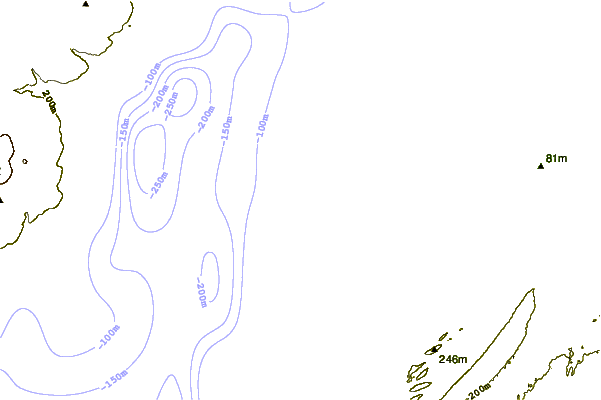
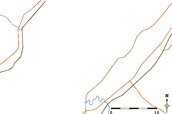
| Contours: | Roads & Rivers: | Select a
tide station / surf break / city |
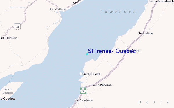
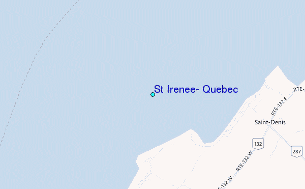
Use this relief map to navigate to tide stations, surf breaks and cities that are in the area of St Irenee, Quebec.
Other Nearby Locations' tide tables and tide charts to St Irenee, Quebec:
click location name for more details
 Surf breaks close to St Irenee, Quebec:
|
||
|---|---|---|
| Closest surf break | Trayhan's | 260 mi |
| Second closest surf break | Popham Read | 262 mi |
| Third closest surf break | Doc Browns | 273 mi |
| Fourth closest surf break | Two Lights | 273 mi |
| Fifth closest surf break | Higgins Beach | 274 mi |


 Nearest
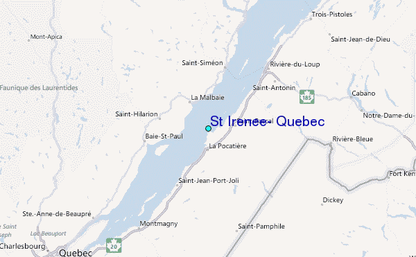