
| Distance / Altitude | Location | Report Date / Time | Live Weather | Wind | Gusts | Temp. | Visibility | Cloud |
|---|---|---|---|---|---|---|---|---|
| 25 km E / 146 m | Riviere -DU -Loup- Que (Canada) | 2026-06-15 02:00 local (2026/06/15 06:00 GMT) | - | wind obs. (7 kph from 230 degs) was rejected (- km/h at -) | — | - | - - - | |
| 27 km ESE / 197 m | Rivière-du-Loup Airport (Quebec) | 2026-06-15 03:00 local (2026/06/15 07:00 GMT) | - | light winds from the NNE (11 km/h at 20) | 7°C | 0.0 | ||
| 36 km NE / 6 m | IleRouge-Que (Canada) | 2026-06-15 03:00 local (2026/06/15 07:00 GMT) | - | light winds from the NNE (18 km/h at 20) | — | - | - no observation - | |
| 36 km NNE / 7 m | PointeDEL islet- Que (Canada) | 2026-06-15 03:00 local (2026/06/15 07:00 GMT) | - | wind obs. (22 kph from 280 degs) was rejected (- km/h at -) | — | - | - no observation - | |
| 37 km NE / 216 m | Ile Rouge Airport (Quebec) | 2026-06-15 03:00 local (2026/06/15 07:00 GMT) | - | moderate winds from the N (24 km/h at 10) | 8°C | 0.0 | ||
| 51 km NW / 216 m | Pointe Claveau Airport (Quebec) | 2026-06-15 02:00 local (2026/06/15 06:00 GMT) | - | light winds from the E (11 km/h at 80) | 11°C | 0.0 | ||
| 51 km NW / 216 m | Puinte Claveau (Quebec) | 2026-06-15 03:00 local (2026/06/15 07:00 GMT) | - | calm (4 km/h at 60) | 11°C | 0.0 | ||
| 51 km NW / 4 m | PointeClaveau-Que (Canada) | 2026-06-15 03:00 local (2026/06/15 07:00 GMT) | - | wind obs. (25 kph from 290 degs) was rejected (- km/h at -) | — | - | - no observation - | |
| 54 km S / 31 m | LA Pocatiere- Que (Canada) | 2026-06-15 02:00 local (2026/06/15 06:00 GMT) | - | light winds from the SW (18 km/h at 230) | — | - | - - - | |
| 55 km S / 198 m | LA Pocatiere Airport (Quebec) | 2026-06-15 03:00 local (2026/06/15 07:00 GMT) | - | light winds from the NNE (9 km/h at 20) | 9°C | 0.0 |
| Contours: | Roads & Rivers: | Select a
tide station / surf break / city |
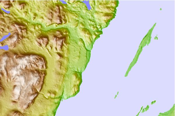
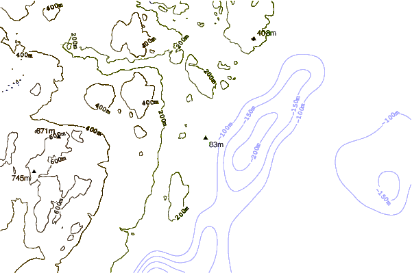
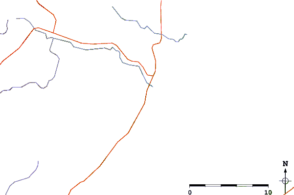
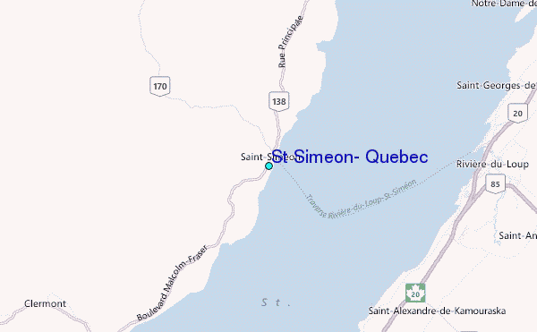
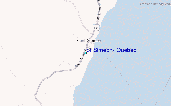
Use this relief map to navigate to tide stations, surf breaks and cities that are in the area of St Simeon, Quebec.
Other Nearby Locations' tide tables and tide charts to St Simeon, Quebec:
click location name for more details
 Surf breaks close to St Simeon, Quebec:
|
||
|---|---|---|
| Closest surf break | Trayhan's | 282 mi |
| Second closest surf break | Popham Read | 283 mi |
| Third closest surf break | Doc Browns | 296 mi |
| Fourth closest surf break | Higgins Beach | 296 mi |
| Fifth closest surf break | Two Lights | 296 mi |


 Nearest
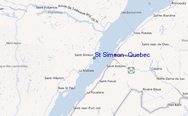