
| Distance / Altitude | Location | Report Date / Time | Live Weather | Wind | Gusts | Temp. | Visibility | Cloud |
|---|---|---|---|---|---|---|---|---|
| 11 km SSE / 9 m | Cocagne Cape Marina (Canada) | 2026-02-13 05:00 local (2026/02/13 09:00 GMT) | - | moderate winds from the W (24 km/h at 274) | -10°C | - | - - 0 | |
| 37 km S / 217 m | Moncton Airport (New Brunswick) | 2026-02-13 04:00 local (2026/02/13 08:00 GMT) | - | moderate winds from the WSW (22 km/h at 250) | -9°C | 24 | few few | |
| 39 km S / 71 m | MonctonA-NB (Canada) | 2026-02-13 05:00 local (2026/02/13 09:00 GMT) | - | light winds from the WSW (19 km/h at 240) | -10°C | 44 km | clear | |
| 47 km S / 58 m | Riverview (Canada) | 2026-02-13 04:35 local (2026/02/13 08:35 GMT) | - | calm (3 km/h at 284) | -8°C | - | - - 0 | |
| 48 km WNW / 34 m | Kouchibouguac Cs- NB (Canada) | 2026-02-13 05:00 local (2026/02/13 09:00 GMT) | - | light winds from the NW (13 km/h at 310) | -8°C | - | - no observation - | |
| 55 km S / 30 m | Price wx (Canada) | 2026-02-13 04:35 local (2026/02/13 08:35 GMT) | - | calm (2 km/h at 317) | -7°C | - | - - 0 | |
| 60 km E / 183 m | Summerside Airport (Prince Edward Islan) | 2026-02-13 04:00 local (2026/02/13 08:00 GMT) | - | moderate winds from the WNW (20 km/h at 300) | -7°C | 0.0 | ||
| 61 km E / 12 m | Summerside-Pei (Canada) | 2026-02-13 05:00 local (2026/02/13 09:00 GMT) | - | moderate winds from the WNW (22 km/h at 300) | -8°C | - | no observation | |
| 83 km SSE / 21 m | Nappan (Canada) | 2026-02-13 05:00 local (2026/02/13 09:00 GMT) | - | light winds from the WNW (19 km/h at 300) | -7°C | 0.0 | - no observation - | |
| 83 km NE / 8 m | NorthCape-Pei (Canada) | 2026-02-13 05:00 local (2026/02/13 09:00 GMT) | - | fresh winds from the WNW (37 km/h at 300) | -7°C | - | - no observation - |
| Contours: | Roads & Rivers: | Select a
tide station / surf break / city |
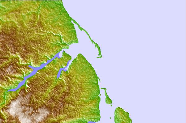
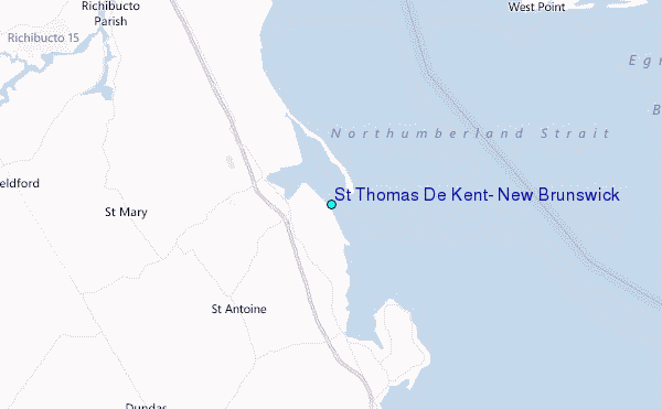
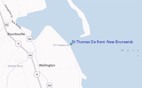
Use this relief map to navigate to tide stations, surf breaks and cities that are in the area of St Thomas De Kent, New Brunswick.
Other Nearby Locations' tide tables and tide charts to St Thomas De Kent, New Brunswick:
click location name for more details
 Surf breaks close to St Thomas De Kent, New Brunswick:
|
||
|---|---|---|
| Closest surf break | Backyards | 139 mi |
| Second closest surf break | Minutes | 139 mi |
| Third closest surf break | Cow Bay | 140 mi |
| Fourth closest surf break | Lawrencetown Reef | 140 mi |
| Fifth closest surf break | Lawrencetown Right Point | 140 mi |


 Nearest
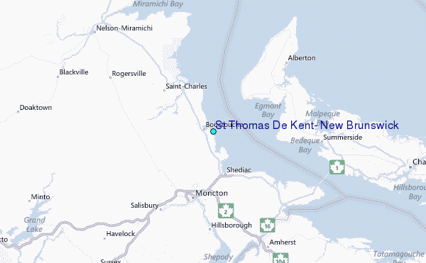