
| Distance / Altitude | Location | Report Date / Time | Live Weather | Wind | Gusts | Temp. | Visibility | Cloud |
|---|---|---|---|---|---|---|---|---|
| 116 km SW / 9 m | Moosonee Airport (Ontario) | 2026-02-13 04:00 local (2026/02/13 09:00 GMT) | - | light winds from the SSW (6 km/h at 210) | -13°C | 0.0 | - overcast - | |
| 120 km SW / 217 m | Moosonee Airport (Ontario) | 2026-02-13 03:00 local (2026/02/13 08:00 GMT) | Dry and cloudy | light winds from the SW (19 km/h at 220) | -13°C | 14 | broken overcast | |
| 225 km SSE / 717 m | Matagami Airport (Quebec) | 2026-02-13 03:00 local (2026/02/13 08:00 GMT) | Light snow | light winds from the SSW (13 km/h at 210) | -14°C | 14 | overcast | |
| 226 km SSE / 280 m | MatagamiA-Que (71947 -0) (Canada) | 2026-02-13 04:00 local (2026/02/13 09:00 GMT) | Continuous light snow | light winds from the SW (9 km/h at 220) | -14°C | 29 km | - overcast - | |
| 238 km NNE / 217 m | La Grande Rivier Airport (Quebec) | 2026-02-13 03:20 local (2026/02/13 08:20 GMT) | Light snow | light winds from the NNW.(Wind varies from 300 to 010 degs) (9 km/h at 340) | -14°C | 3 | overcast | |
| 240 km NNE / 195 m | LA Grande Riviere A- Que (Canada) | 2026-02-13 04:00 local (2026/02/13 09:00 GMT) | - | light winds from the N (9 km/h at 350) | -15°C | 44 km | - overcast - | |
| 273 km W / 9 m | Attawapiskat Airport (Canada) | 2026-02-13 03:00 local (2026/02/13 08:00 GMT) | Dry and partly cloudy | light winds from the ENE (7 km/h at 70) | -14°C | 14 | scattered | |
| 342 km SSW / 396 m | Kapuskasing CDA Airport (Ontario) | 2026-02-13 03:00 local (2026/02/13 08:00 GMT) | - | light winds from the SSW (7 km/h at 200) | -15°C | 0.0 | ||
| 346 km SSW / 218 m | Kapuskasing Cda On- Ont (Canada) | 2026-02-13 04:00 local (2026/02/13 09:00 GMT) | - | light winds from the S (6 km/h at 190) | -14°C | - | - no observation - | |
| 346 km SSW / 216 m | Kapuskasing Airport (Ontario) | 2026-02-13 03:00 local (2026/02/13 08:00 GMT) | Dry and partly cloudy | light winds from the SSW (11 km/h at 210) | -14°C | 24 | few scattered broken |
| Contours: | Roads & Rivers: | Select a
tide station / surf break / city |
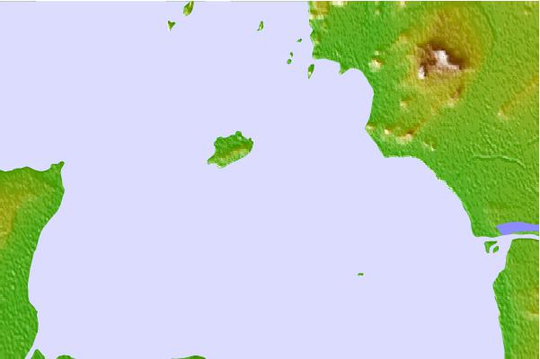
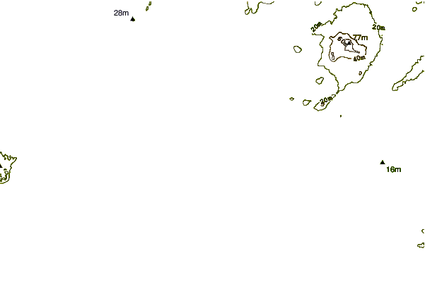
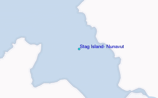
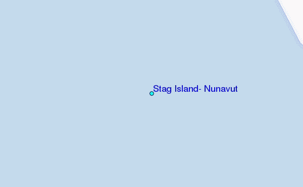
Use this relief map to navigate to tide stations, surf breaks and cities that are in the area of Stag Island, Nunavut.
Other Nearby Locations' tide tables and tide charts to Stag Island, Nunavut:
click location name for more details
 Surf breaks close to Stag Island, Nunavut:
|
||
|---|---|---|
| Closest surf break | Marathon | 388 mi |
| Second closest surf break | Alona Bay | 400 mi |
| Third closest surf break | Bayfield | 438 mi |
| Fourth closest surf break | Manitoulin Island | 438 mi |
| Fifth closest surf break | Grand Marias | 469 mi |


 Nearest
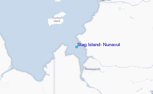