
| Distance / Altitude | Location | Report Date / Time | Live Weather | Wind | Gusts | Temp. | Visibility | Cloud |
|---|---|---|---|---|---|---|---|---|
| 5 km NNE / 33 m | Cameron Heights wx (Canada) | 2025-12-25 02:30 local (2025/12/25 10:30 GMT) | - | calm (0 km/h at 33) | 1°C | - | - - 0 | |
| 7 km N / 29 m | Port Alberni (British Columbia) | 2025-12-25 01:48 local (2025/12/25 09:48 GMT) | - | calm (0 km/h at 68) | 1°C | - | - - 0 | |
| 15 km NW / 76 m | Port Alberni (Aut)- BC (Canada) | 2025-12-25 02:00 local (2025/12/25 10:00 GMT) | - | calm (4 km/h at 320) | — | - | - | |
| 17 km NW / 89 m | Kleecoot wx (Canada) | 2025-12-25 02:27 local (2025/12/25 10:27 GMT) | - | calm (2 km/h at 347) | 0°C | - | - - 0 | |
| 35 km ENE / 122 m | Errington wx (Canada) | 2025-12-25 02:40 local (2025/12/25 10:40 GMT) | - | calm (0 km/h at 6) | 0°C | - | - - 0 | |
| 35 km ENE / 57 m | Qualicum Beach Airport (Canada) | 2025-12-25 02:00 local (2025/12/25 10:00 GMT) | no report | light winds from the W (7 km/h at 280) | 12°C | - | - no observation - | |
| 43 km N / 75 m | Denman Island (Canada) | 2025-12-25 02:14 local (2025/12/25 10:14 GMT) | - | calm (0 km/h at 264) | 2°C | - | - - 0 | |
| 43 km NE / 217 m | Sisters Il Airport (British Columbia) | 2025-12-25 01:00 local (2025/12/25 09:00 GMT) | - | calm (4 km/h at 330) | 5°C | 0.0 | ||
| 44 km NE / 20 m | Sisters Il Airport (Canada) | 2025-12-25 02:00 local (2025/12/25 10:00 GMT) | - | wind obs. (25 kph from 300 degs) was rejected (- km/h at -) | — | - | - no observation - | |
| 51 km ENE / 5 m | Ballenas Island Automatic (British columbia) | 2025-12-25 01:00 local (2025/12/25 09:00 GMT) | - | wind obs. (19 kph from 20 degs) was rejected (- km/h at -) | 5°C | 0.0 |
| Contours: | Roads & Rivers: | Select a
tide station / surf break / city |
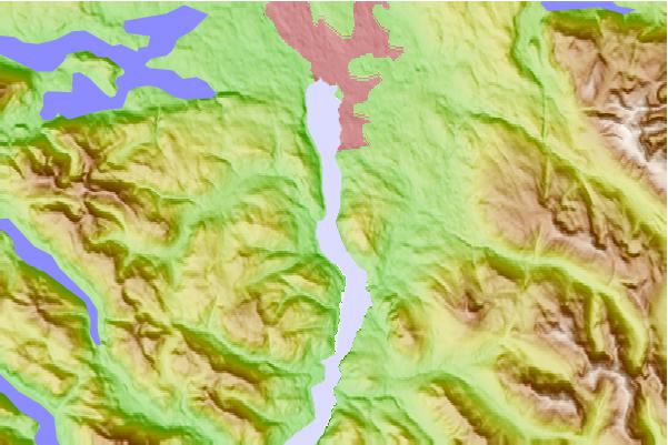
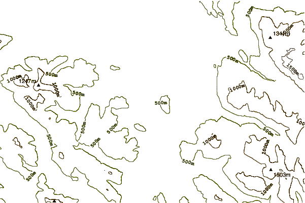
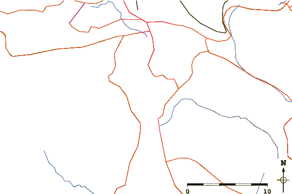
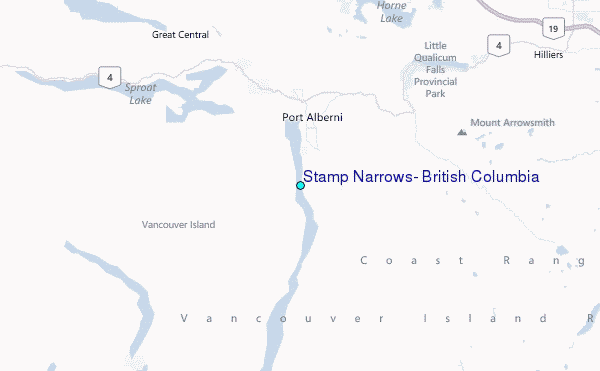
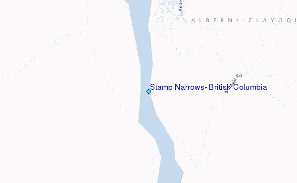
Use this relief map to navigate to tide stations, surf breaks and cities that are in the area of Stamp Narrows, British Columbia.
Other Nearby Locations' tide tables and tide charts to Stamp Narrows, British Columbia:
click location name for more details
 Surf breaks close to Stamp Narrows, British Columbia:
|
||
|---|---|---|
| Closest surf break | Florencia Bay | 39 mi |
| Second closest surf break | Wickaninnish | 40 mi |
| Third closest surf break | Long Beach (Tofino Airport) | 44 mi |
| Fourth closest surf break | Port Renfrew | 48 mi |
| Fifth closest surf break | South Chesterman Beach | 48 mi |


 Nearest
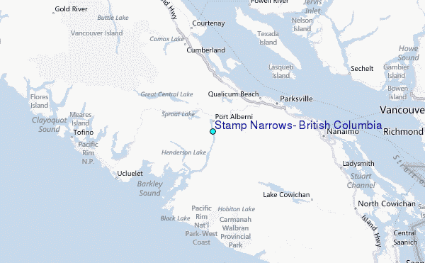