
| Distance / Altitude | Location | Report Date / Time | Live Weather | Wind | Gusts | Temp. | Visibility | Cloud |
|---|---|---|---|---|---|---|---|---|
| 22 km NE / 254 m | NazeFunchatoge (Japan) | 2025-12-25 17:00 local (2025/12/25 08:00 GMT) | Rain and snow or hail | fresh winds from the NNE (37 km/h at 20) | 17°C | 39 km | no observation | |
| 36 km NE / 416 m | Amami Airport (Japan) | 2025-12-25 16:30 local (2025/12/25 07:30 GMT) | Shower light rain shower | moderate winds from the NNW.(Wind varies from 300 to 360 degs) (28 km/h at 330) | 16°C | 10.0 | few scattered broken | |
| 50 km E / 6 m | Kikai Island Airport (Japan) | 2025-12-25 16:37 local (2025/12/25 07:37 GMT) | Dry and partly cloudy | strong winds from the NNW (39 km/h at 330) | 18°C | 10.0 | few scattered broken | |
| 71 km SSW / 5 m | Tokunoshima Isla (Japan) | 2025-12-25 16:32 local (2025/12/25 07:32 GMT) | Dry and partly cloudy | strong winds from the NNW (50 km/h at 340) | 16°C | 10.0 | scattered broken broken | |
| 113 km SSW / 30 m | Okinoerabu (Japan) | 2025-12-25 17:00 local (2025/12/25 08:00 GMT) | Rain and snow or hail | strong winds from the N (41 km/h at 350) | 16°C | 38 km | no observation | |
| 116 km SSW / 29 m | Okinoerabu/okier (Japan) | 2025-12-25 16:00 local (2025/12/25 07:00 GMT) | Light rain | fresh winds from the N (35 km/h at 350) | 16°C | 10.0 | scattered broken broken | |
| 165 km SSW / 16 m | Yoron Island Airport (Japan) | 2025-12-25 16:00 local (2025/12/25 07:00 GMT) | Dry and partly cloudy | strong winds from the NNW (41 km/h at 340) | 16°C | 10.0 | few scattered broken | |
| 233 km SSW / 18 m | Nago (Japan) | 2025-12-25 17:00 local (2025/12/25 08:00 GMT) | Continuous light rain | moderate winds from the N (26 km/h at 360) | 15°C | 27 km | no observation | |
| 234 km SSW / 73 m | Iejima Aux (usaf (Japan) | 2025-12-25 16:39 local (2025/12/25 07:39 GMT) | Light rain | strong winds from the N (43 km/h at 360) | 16°C | 10 | scattered broken overcast | |
| 265 km SSW / 217 m | Kadena Air Force Base Airport (Japan) | 2025-12-25 15:55 local (2025/12/25 06:55 GMT) | Mist - | moderate winds from the NNW (26 km/h at 340) | 16°C | 13 | few broken overcast |
| Contours: | Roads & Rivers: | Select a
tide station / surf break / city |
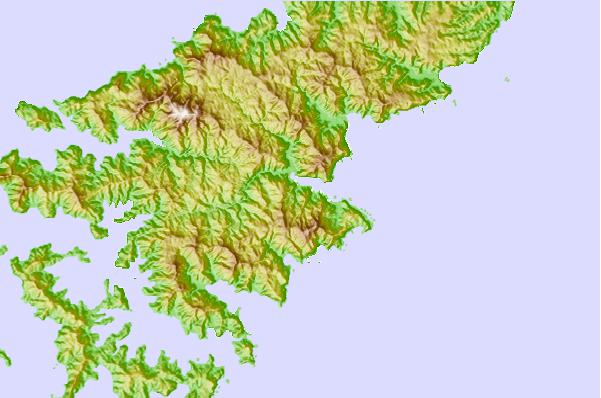
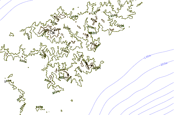
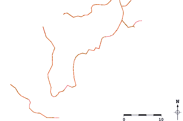
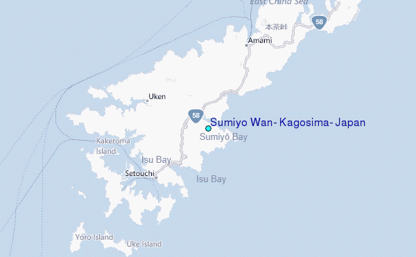
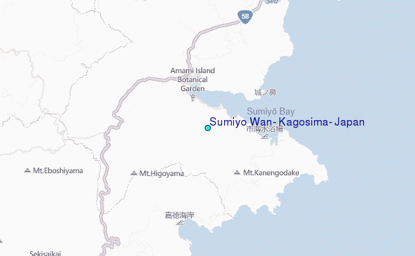
Use this relief map to navigate to tide stations, surf breaks and cities that are in the area of Sumiyo Wan, Kagosima, Japan.
Other Nearby Locations' tide tables and tide charts to Sumiyo Wan, Kagosima, Japan:
click location name for more details
 Surf breaks close to Sumiyo Wan, Kagosima, Japan:
|
||
|---|---|---|
| Closest surf break | Ko-Chan (Hedo Point) | 118 mi |
| Second closest surf break | Oku | 118 mi |
| Third closest surf break | Rocky Point | 119 mi |
| Fourth closest surf break | Ada | 124 mi |
| Fifth closest surf break | Aha Rivermouth | 126 mi |


 Nearest
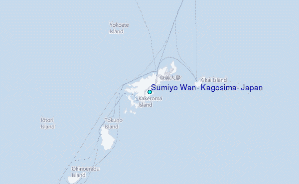