
| Distance / Altitude | Location | Report Date / Time | Live Weather | Wind | Gusts | Temp. | Visibility | Cloud |
|---|---|---|---|---|---|---|---|---|
| 79 km WNW / 15 m | hy2b129E30N (Marine) | 2024-07-27 06:56 local (2024/07/26 21:56 GMT) | fresh winds from the SE (32 km/h at 140) | — | - km | |||
| 86 km SSW / 15 m | hy2b129E29N (Marine) | 2024-07-27 06:56 local (2024/07/26 21:56 GMT) | fresh winds from the SE (32 km/h at 138) | — | - km | |||
| 91 km SSE / 254 m | NazeFunchatoge (Japan) | 2024-07-27 08:00 local (2024/07/26 23:00 GMT) | - | light winds from the SE (13 km/h at 130) | 29°C | 40 km | no observation | |
| 96 km SSE / 416 m | Amami Airport (Japan) | 2024-07-27 08:00 local (2024/07/26 23:00 GMT) | - | moderate winds from the SE (22 km/h at 140) | 30°C | 10.0 | few | |
| 108 km SSW / 15 m | hy2b129E28N (Marine) | 2024-07-27 06:56 local (2024/07/26 21:56 GMT) | fresh winds from the SE (32 km/h at 135) | — | - km | |||
| 116 km SE / 6 m | Kikai Island Airport (Japan) | 2024-07-27 08:00 local (2024/07/26 23:00 GMT) | Dry and partly cloudy | light winds from the SE.(Wind varies from 090 to 170 degs) (15 km/h at 140) | 31°C | 10.0 | few scattered broken | |
| 135 km ENE / 15 m | hy2b131E30N (Marine) | 2024-07-27 06:56 local (2024/07/26 21:56 GMT) | moderate winds from the SE (21 km/h at 128) | — | - km | |||
| 136 km ESE / 15 m | hy2b130E29N (Marine) | 2024-07-27 06:56 local (2024/07/26 21:56 GMT) | moderate winds from the SE (20 km/h at 135) | — | - km | |||
| 161 km SW / 15 m | hy2b128E29N (Marine) | 2024-07-27 06:56 local (2024/07/26 21:56 GMT) | strong winds from the SE (39 km/h at 140) | — | - km | |||
| 162 km ESE / 15 m | hy2b131E29N (Marine) | 2024-07-27 06:56 local (2024/07/26 21:56 GMT) | light winds from the SE (19 km/h at 132) | — | - km |
| Contours: | Roads & Rivers: | Select a
tide station / surf break / city |
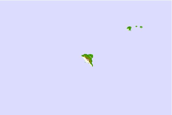
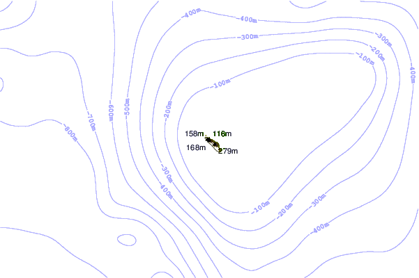
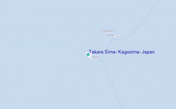
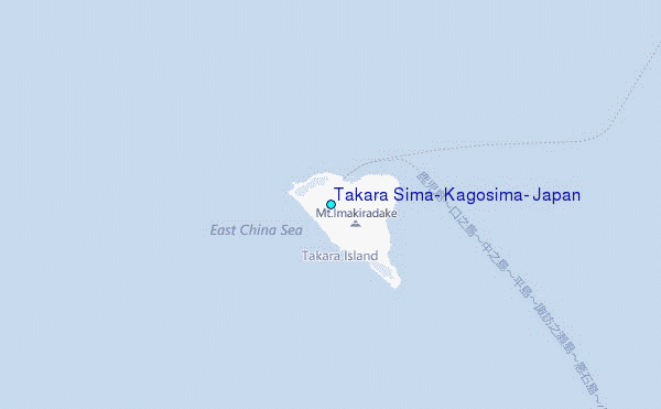
Use this relief map to navigate to tide stations, surf breaks and cities that are in the area of Takara Sima, Kagosima, Japan.
Other Nearby Locations' tide tables and tide charts to Takara Sima, Kagosima, Japan:
click location name for more details
 Surf breaks close to Takara Sima, Kagosima, Japan:
|
||
|---|---|---|
| Closest surf break | Ko-Chan (Hedo Point) | 168 mi |
| Second closest surf break | Oku | 168 mi |
| Third closest surf break | Rocky Point | 170 mi |
| Fourth closest surf break | Ada | 176 mi |
| Fifth closest surf break | Yona Bay | 176 mi |

 Nearest
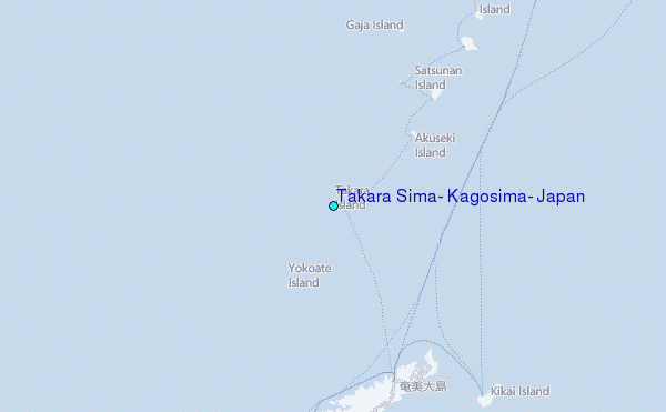