
| Distance / Altitude | Location | Report Date / Time | Live Weather | Wind | Gusts | Temp. | Visibility | Cloud |
|---|---|---|---|---|---|---|---|---|
| 120 km NE / 10 m | Fort Ross- NU (Canada) | 2026-07-26 09:00 local (2026/07/26 13:00 GMT) | no report | wind obs. (18 kph from 320 degs) was rejected (- km/h at -) | 2°C | - | - - - | |
| 287 km S / 47 m | Gjoa Haven (Canada) | 2026-07-26 10:00 local (2026/07/26 14:00 GMT) | - | wind obs. (11 kph from 350 degs) was rejected (- km/h at -) | — | - | - | |
| 287 km S / 47 m | Gjoa Haven A- NU (Canada) | 2026-07-26 09:00 local (2026/07/26 13:00 GMT) | - | wind obs. (11 kph from 350 degs) was rejected (- km/h at -) | — | - | - - - | |
| 289 km S / 217 m | Gjoa Haven Airport (N.w. Territories) | 2026-07-26 09:00 local (2026/07/26 13:00 GMT) | - | calm (4 km/h at 360) | 11°C | 24 | few few | |
| 391 km SE / 17 m | Kugaaruk Climate (Canada) | 2026-07-26 08:00 local (2026/07/26 12:00 GMT) | - | wind obs. (7 kph from 10 degs) was rejected (- km/h at -) | — | - | - - - | |
| 394 km N / 30 m | Resolute (Canada) | 2026-07-26 09:00 local (2026/07/26 13:00 GMT) | no report | wind obs. (7 kph from 270 degs) was rejected (- km/h at -) | 0°C | - | - - - | |
| 395 km N / 216 m | Resolute Airport (N.w. Territories) | 2026-07-26 09:00 local (2026/07/26 13:00 GMT) | - | light winds from the SE (19 km/h at 140) | 8°C | 48 | few | |
| 395 km N / 30 m | Resolute CS Airport (Nunavut) | 2026-07-26 10:00 local (2026/07/26 14:00 GMT) | no report | wind obs. (7 kph from 290 degs) was rejected (- km/h at -) | 1°C | 0.0 | - - - | |
| 403 km SW / 19 m | Cambridge Bay Gsn- NU (Canada) | 2026-07-26 08:00 local (2026/07/26 12:00 GMT) | no report | wind obs. (14 kph from 80 degs) was rejected (- km/h at -) | 3°C | - | - | |
| 405 km SW / 217 m | Cambridge Bay Airport (N.w. Territories) | 2026-07-26 09:00 local (2026/07/26 13:00 GMT) | Dry and partly cloudy | moderate winds from the ESE (20 km/h at 120) | 13°C | 24 | broken |
| Contours: | Roads & Rivers: | Select a
tide station / surf break / city |
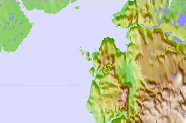
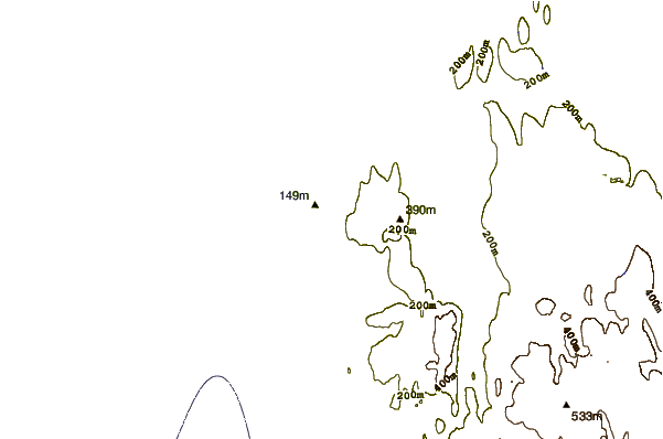
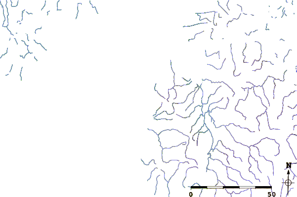
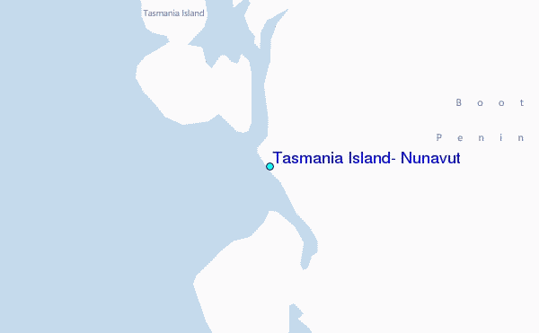
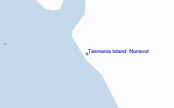
Use this relief map to navigate to tide stations, surf breaks and cities that are in the area of Tasmania Island, Nunavut.
Other Nearby Locations' tide tables and tide charts to Tasmania Island, Nunavut:
click location name for more details
 Surf breaks close to Tasmania Island, Nunavut:
|
||
|---|---|---|
| Closest surf break | Graveyards | 1441 mi |
| Second closest surf break | Cannon Beach | 1443 mi |
| Third closest surf break | Ocean Cape | 1443 mi |
| Fourth closest surf break | Marathon | 1585 mi |
| Fifth closest surf break | Tow Hill Beach | 1589 mi |


 Nearest
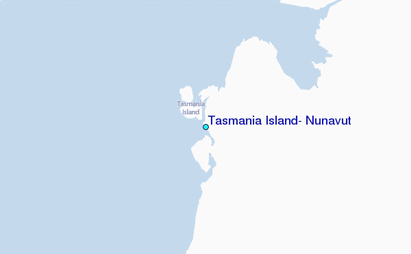