
| Distance / Altitude | Location | Report Date / Time | Live Weather | Wind | Gusts | Temp. | Visibility | Cloud |
|---|---|---|---|---|---|---|---|---|
| 100 km N / 65 m | Alert (Canada) | 2026-07-26 09:00 local (2026/07/26 12:00 GMT) | no report | wind obs. (7 kph from 90 degs) was rejected (- km/h at -) | 1°C | - | - - - | |
| 103 km N / 198 m | Alert Airport (N.w. Territories) | 2026-07-26 10:00 local (2026/07/26 13:00 GMT) | Dry and cloudy | moderate winds from the ESE (20 km/h at 110) | 1°C | 24 | overcast | |
| 465 km WSW / 198 m | Eureka Airport (N.w. Territories) | 2026-07-26 10:00 local (2026/07/26 13:00 GMT) | Dry and cloudy | moderate winds from the SE (28 km/h at 140) | 3°C | 24 | few few overcast | |
| 466 km WSW / 65 m | Eureka Climate (Canada) | 2026-07-26 11:00 local (2026/07/26 14:00 GMT) | no report | wind obs. (14 kph from 300 degs) was rejected (- km/h at -) | 5°C | - | - - - | |
| 485 km S / 17 m | Mittarfik Qaanaaq (Greenland) | 2026-07-26 09:00 local (2026/07/26 12:00 GMT) | no report | calm (2 km/h at 300) | 4°C | 45 | - - - | |
| 502 km WSW / 72 m | Svartevaeg- NU (Canada) | 2026-07-26 11:00 local (2026/07/26 14:00 GMT) | no report | wind obs. (18 kph from 330 degs) was rejected (- km/h at -) | 1°C | - | - | |
| 573 km S / 15 m | hy2b287E77N (Marine) | 2026-07-26 08:59 local (2026/07/26 11:59 GMT) | light winds from the ESE (19 km/h at 112) | — | - km | |||
| 585 km S / 218 m | Thule Air Base Airport (Greenland) | 2026-07-26 09:55 local (2026/07/26 12:55 GMT) | Dry and partly cloudy | wind obs. (11 kph from 290 degs) was rejected (- km/h at -) | 6°C | 10.0 | scattered broken | |
| 602 km S / 15 m | Carey Island (Greenland) | 2026-07-26 09:00 local (2026/07/26 12:00 GMT) | no report | wind obs. (19 kph from 280 degs) was rejected (- km/h at -) | 4°C | - | - - - | |
| 602 km SSW / 15 m | hy2b284E77N (Marine) | 2026-07-26 08:59 local (2026/07/26 11:59 GMT) | light winds from the ENE (8 km/h at 65) | — | - km |
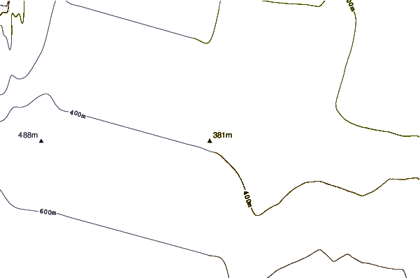
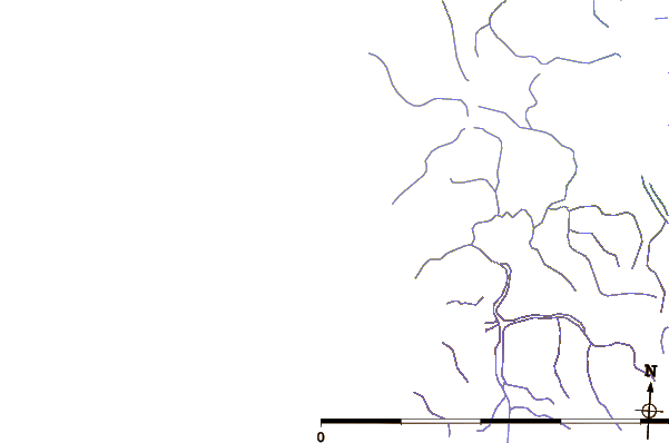
| Contours: | Roads & Rivers: | Select a
tide station / surf break / city |
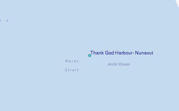
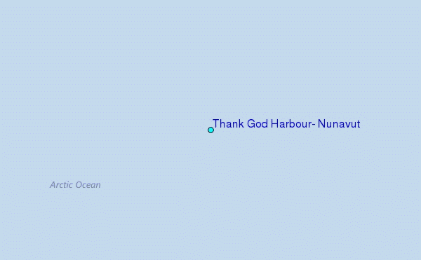
Use this relief map to navigate to tide stations, surf breaks and cities that are in the area of Thank God Harbour, Nunavut.
Other Nearby Locations' tide tables and tide charts to Thank God Harbour, Nunavut:
click location name for more details
 Surf breaks close to Thank God Harbour, Nunavut:
|
||
|---|---|---|
| Closest surf break | Eyvik | 1303 mi |
| Second closest surf break | Garur | 1388 mi |
| Third closest surf break | Grotta | 1389 mi |
| Fourth closest surf break | Hafnarfjordur | 1396 mi |
| Fifth closest surf break | Hafnir | 1398 mi |


 Nearest
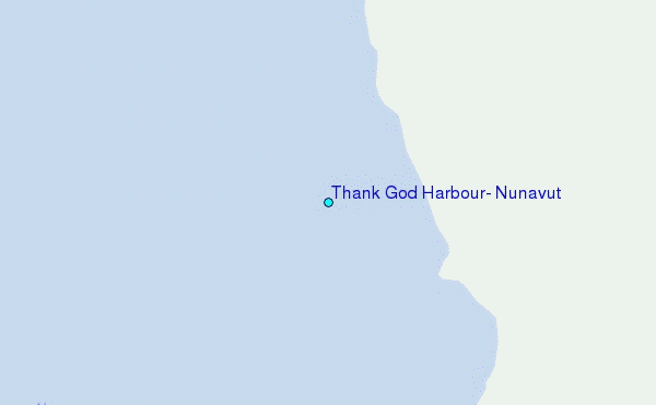