
| Distance / Altitude | Location | Report Date / Time | Live Weather | Wind | Gusts | Temp. | Visibility | Cloud |
|---|---|---|---|---|---|---|---|---|
| 14 km SSW / 3 m | SHIP9803 (Marine) | 2026-02-13 00:00 local (2026/02/13 08:00 GMT) | strong winds from the SW (41 km/h at 220) | 4°C | - | |||
| 25 km SSE / 43 m | Bella Bella Airport (British columbia) | 2026-02-13 00:40 local (2026/02/13 08:40 GMT) | Light rain | calm (0 km/h at 0) | 5°C | 8 | few overcast | |
| 59 km ESE / 26 m | Cathedral Point (Aut)- BC (Canada) | 2026-02-13 01:00 local (2026/02/13 09:00 GMT) | - | wind obs. (6 kph from 190 degs) was rejected (- km/h at -) | — | - | - no observation - | |
| 60 km ESE / 214 m | Cathedral Point Airport (British Columbia) | 2026-02-13 00:00 local (2026/02/13 08:00 GMT) | - | calm (4 km/h at 230) | 5°C | 0.0 | - - - | |
| 16 km WSW / 3 m | SHIP9261 (Marine) | 2026-02-12 23:00 local (2026/02/13 07:00 GMT) | fresh winds from the SE (35 km/h at 140) | 7°C | - | |||
| 16 km WSW / - m | SHIP509 (ocean) | 2026-02-13 00:00 local (2026/02/13 08:00 GMT) | - | strong winds from the SE (46 km/h at 140) | 7°C | - | no observation | |
| 16 km WSW / 15 m | SHIP4771 (Marine) | 2026-02-12 23:00 local (2026/02/13 07:00 GMT) | fresh winds from the SE (35.28 km/h at 140) | — | - km | |||
| 16 km WSW / - m | SHIP1244 (ocean) | 2026-02-13 00:00 local (2026/02/13 08:00 GMT) | - | strong winds from the SE (46 km/h at 140) | 7°C | - | no observation | |
| 19 km SSW / 15 m | SHIP4262 (Marine) | 2026-02-13 00:00 local (2026/02/13 08:00 GMT) | fresh winds from the SW (38.88 km/h at 230) | — | - km | |||
| 19 km WNW / 15 m | SHIP3587 (Marine) | 2026-02-12 23:00 local (2026/02/13 07:00 GMT) | fresh winds from the SSE (31.680000000000003 km/h at 150) | — | - km |
| Contours: | Roads & Rivers: | Select a
tide station / surf break / city |
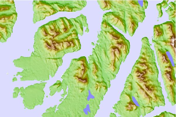
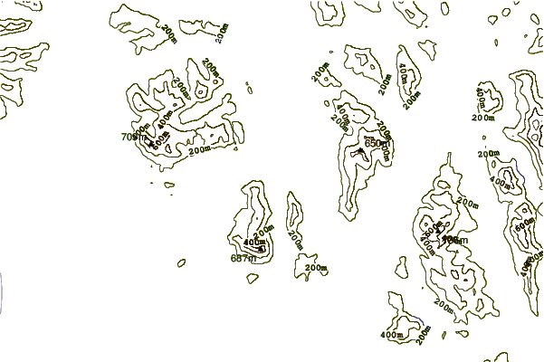
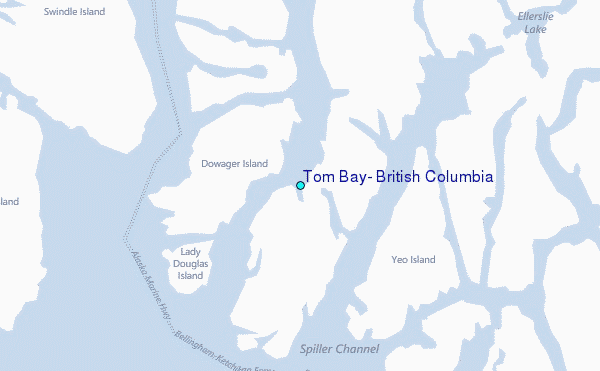
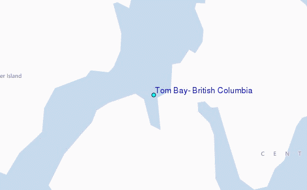
Use this relief map to navigate to tide stations, surf breaks and cities that are in the area of Tom Bay, British Columbia.
Other Nearby Locations' tide tables and tide charts to Tom Bay, British Columbia:
click location name for more details
 Surf breaks close to Tom Bay, British Columbia:
|
||
|---|---|---|
| Closest surf break | Tow Hill Beach | 186 mi |
| Second closest surf break | Nootka Island (Calvin Bay) | 200 mi |
| Third closest surf break | Lepus Beach (Haida-Gwaii) | 232 mi |
| Fourth closest surf break | Tofino (North Chestermans Beach) | 249 mi |
| Fifth closest surf break | South Chesterman Beach | 250 mi |


 Nearest
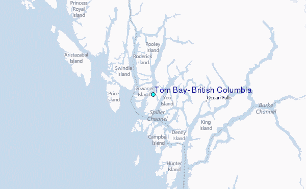