
| Distance / Altitude | Location | Report Date / Time | Live Weather | Wind | Gusts | Temp. | Visibility | Cloud |
|---|---|---|---|---|---|---|---|---|
| 10 km SSW / 43 m | Bella Bella Airport (British columbia) | 2026-04-01 22:00 local (2026/04/02 05:00 GMT) | Dry and cloudy | calm (4 km/h at 280) | 4°C | 14 | overcast | |
| 10 km SW / 43 m | Bella Bella- BC (Canada) | 2026-04-01 23:00 local (2026/04/02 06:00 GMT) | no report | calm (4 km/h at 320) | 4°C | 36 km | - overcast - | |
| 39 km E / 26 m | Cathedral Point (Aut)- BC (Canada) | 2026-04-01 23:00 local (2026/04/02 06:00 GMT) | no report | light winds from the ENE (15 km/h at 70) | 6°C | - | - no observation - | |
| 39 km E / 214 m | Cathedral Point Airport (British Columbia) | 2026-04-01 22:00 local (2026/04/02 05:00 GMT) | - | light winds from the ENE (13 km/h at 60) | 6°C | 0.0 | - - - | |
| 89 km WSW / 15 m | ASCATB231E52N (Marine) | 2026-04-01 21:15 local (2026/04/02 04:15 GMT) | moderate winds from the NNW (23 km/h at 339) | — | - km | |||
| 103 km S / - m | SHIP389 (ocean) | 2026-04-01 23:00 local (2026/04/02 06:00 GMT) | - | light winds from the WNW (14 km/h at 290) | 8°C | - | no observation | |
| 108 km S / 3 m | West Sea Otter Buoy (Marine) | 2026-04-01 23:00 local (2026/04/02 06:00 GMT) | light winds from the WNW (14 km/h at 290) | 8°C | - | |||
| 120 km S / 15 m | ASCATB232E51N (Marine) | 2026-04-01 21:15 local (2026/04/02 04:15 GMT) | light winds from the N (19 km/h at 7) | — | - km | |||
| 120 km SSW / 15 m | ASCATB231E51N (Marine) | 2026-04-01 21:15 local (2026/04/02 04:15 GMT) | moderate winds from the NNW (22 km/h at 343) | — | - km | |||
| 147 km S / 13 m | Herbert Island (Aut)- BC (Canada) | 2026-04-01 23:00 local (2026/04/02 06:00 GMT) | no report | wind obs. (19 kph from 260 degs) was rejected (- km/h at -) | 7°C | - | - no observation - |
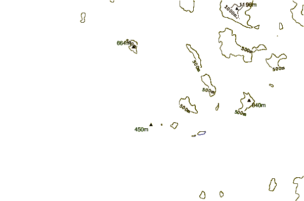
| Contours: | Roads & Rivers: | Select a
tide station / surf break / city |
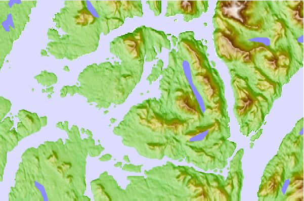
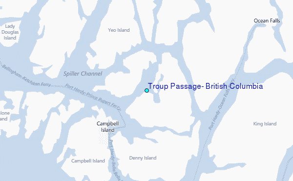
Use this relief map to navigate to tide stations, surf breaks and cities that are in the area of Troup Passage, British Columbia.
Other Nearby Locations' tide tables and tide charts to Troup Passage, British Columbia:
click location name for more details
 Surf breaks close to Troup Passage, British Columbia:
|
||
|---|---|---|
| Closest surf break | Nootka Island (Calvin Bay) | 185 mi |
| Second closest surf break | Tow Hill Beach | 201 mi |
| Third closest surf break | Tofino (North Chestermans Beach) | 235 mi |
| Fourth closest surf break | South Chesterman Beach | 236 mi |
| Fifth closest surf break | Rosie's Bay | 236 mi |


 Nearest
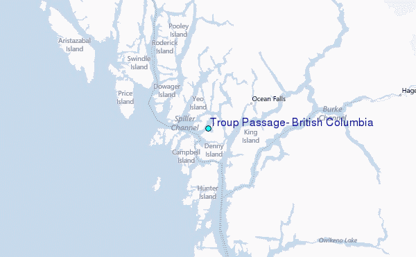