
| Distance / Altitude | Location | Report Date / Time | Live Weather | Wind | Gusts | Temp. | Visibility | Cloud |
|---|---|---|---|---|---|---|---|---|
| 13 km NE / 178 m | SaturnaCapmon-BC (Canada) | 2026-06-05 17:00 local (2026/06/06 00:00 GMT) | no report | calm (4 km/h at 240) | 16°C | - | - no observation - | |
| 15 km SSW / 3 m | SHIP6743 (Marine) | 2026-06-05 15:00 local (2026/06/05 22:00 GMT) | moderate winds from the W (26 km/h at 270) | 14°C | - | |||
| 15 km SW / 20 m | VictoriaIntl A- BC (Canada) | 2026-06-05 17:00 local (2026/06/06 00:00 GMT) | no report | moderate winds from the SW (26 km/h at 230) | 11°C | 45 km | - mostly cloudy - | |
| 15 km SW / 216 m | Victoria International Airport (British Columbia) | 2026-06-05 16:00 local (2026/06/05 23:00 GMT) | Dry and partly cloudy | moderate winds from the SW (22 km/h at 230) | — | 48 | few scattered broken | |
| 15 km S / 215 m | Kelp Reefs Airport (British Columbia) | 2026-06-05 16:00 local (2026/06/05 23:00 GMT) | - | moderate winds from the WSW (26 km/h at 240) | — | 0.0 | ||
| 15 km SSW / 15 m | SHIP6825 (Marine) | 2026-06-05 17:00 local (2026/06/06 00:00 GMT) | moderate winds from the SW (25.92 km/h at 220) | — | - km | |||
| 15 km SW / 20 m | VictoriaIntl A- BC (Canada) | 2026-06-05 17:00 local (2026/06/06 00:00 GMT) | no report | moderate winds from the SW (26 km/h at 230) | 11°C | 45 km | - mostly cloudy - | |
| 15 km SW / 216 m | Victoria International Airport (British Columbia) | 2026-06-05 16:00 local (2026/06/05 23:00 GMT) | Dry and partly cloudy | moderate winds from the SW (22 km/h at 230) | — | 48 | few scattered broken | |
| 15 km SSW / 15 m | SHIP8118 (Marine) | 2026-06-05 15:00 local (2026/06/05 22:00 GMT) | moderate winds from the W (25.92 km/h at 270) | — | - km | |||
| 15 km S / 215 m | Kelp Reefs Airport (British Columbia) | 2026-06-05 16:00 local (2026/06/05 23:00 GMT) | - | moderate winds from the WSW (26 km/h at 240) | — | 0.0 |
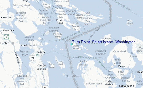
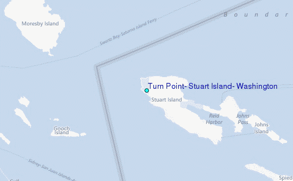
Choose Turn Point, Stuart Island, Washington Location Map Zoom:
| Contours: | Roads & Rivers: | Select a
tide station / surf break / city |
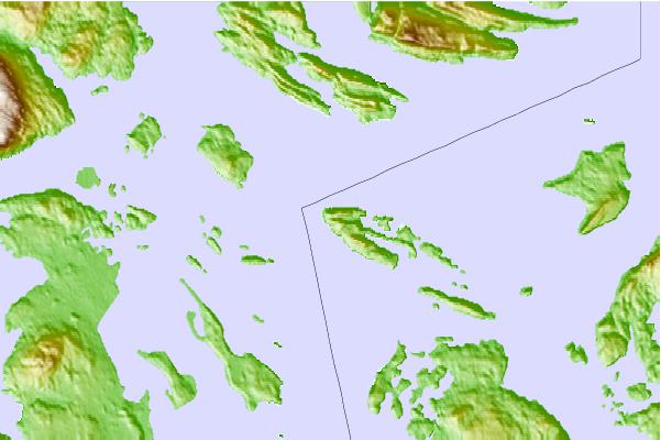
Use this relief map to navigate to tide stations, surf breaks and cities that are in the area of Turn Point, Stuart Island, Washington.
Other Nearby Locations' tide tables and tide charts to Turn Point, Stuart Island, Washington:
click location name for more details
 Surf breaks close to Turn Point, Stuart Island, Washington:
|
||
|---|---|---|
| Closest surf break | Fort. Ebey | 38 mi |
| Second closest surf break | Jordan River | 39 mi |
| Third closest surf break | Super green | 39 mi |
| Fourth closest surf break | Elwha | 40 mi |
| Fifth closest surf break | Crescent | 42 mi |


 Nearest
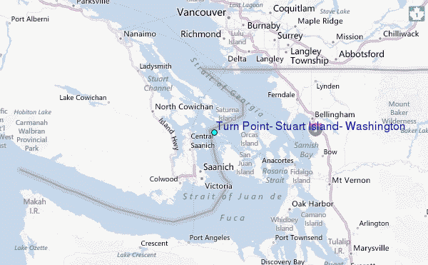