
| Distance / Altitude | Location | Report Date / Time | Live Weather | Wind | Gusts | Temp. | Visibility | Cloud |
|---|---|---|---|---|---|---|---|---|
| 21 km S / 219 m | Beaufort Marine Corps Air Station Airport (South Carolina) | 2025-12-24 05:56 local (2025/12/24 10:56 GMT) | Clear | light winds from the W (15 km/h at 270) | 15°C | 16 | ||
| 24 km ESE / 3 m | BUOY-ACXS1 (Marine) | 2025-12-24 05:45 local (2025/12/24 10:45 GMT) | - (0 km/h at -) | 14°C | - | |||
| 30 km N / 31 m | Lowcountry Regional Airport - Walterboro (South Carolina) (South Carolina) | 2025-12-24 06:35 local (2025/12/24 11:35 GMT) | - | light winds from the W (6 km/h at 270) | 12°C | 16 | ||
| 48 km S / 210 m | Hilton Head Airport (North Carolina) | 2025-12-24 06:50 local (2025/12/24 11:50 GMT) | Clear | light winds from the N (7 km/h at 1) | 14°C | 16 | ||
| 49 km SSE / 3 m | BUOY-41033 (Marine) | 2025-12-24 06:08 local (2025/12/24 11:08 GMT) | light winds from the WSW (18 km/h at 250) | 14°C | - | |||
| 49 km SSE / 3 m | BUOY-41067 (Marine) | 2025-12-24 06:00 local (2025/12/24 11:00 GMT) | - (- km/h at -) | — | - | |||
| 59 km NE / 18 m | Summerville Airport (South Carolina) (South Carolina) | 2025-12-24 06:35 local (2025/12/24 11:35 GMT) | Clear | calm (0 km/h at 0) | 10°C | 14 | ||
| 64 km E / 6 m | Charleston Executive Airport (South Carolina) (South Carolina) | 2025-12-24 06:35 local (2025/12/24 11:35 GMT) | Clear | calm (0 km/h at 0) | 13°C | 16 | ||
| 67 km ENE / 216 m | Charleston Airport (South Carolina) | 2025-12-24 05:56 local (2025/12/24 10:56 GMT) | - | light winds from the W (9 km/h at 280) | 13°C | 16 | few | |
| 67 km WNW / 50 m | Allendale County Airport (South Carolina) (South Carolina) | 2025-12-24 06:35 local (2025/12/24 11:35 GMT) | Clear | calm (0 km/h at 0) | 10°C | 13 |
Choose US 17 Bridge, Combahee River, South Carolina Location Map Zoom:
| Contours: | Roads & Rivers: | Select a
tide station / surf break / city |
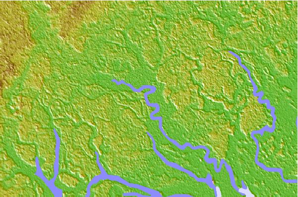

Use this relief map to navigate to tide stations, surf breaks and cities that are in the area of US 17 Bridge, Combahee River, South Carolina.
Other Nearby Locations' tide tables and tide charts to US 17 Bridge, Combahee River, South Carolina:
click location name for more details
 Surf breaks close to US 17 Bridge, Combahee River, South Carolina:
|
||
|---|---|---|
| Closest surf break | Edisto Beach | 25 mi |
| Second closest surf break | Hunting Island | 25 mi |
| Third closest surf break | Folly Beach Pier | 44 mi |
| Fourth closest surf break | Folly Beach | 44 mi |
| Fifth closest surf break | North Jetty | 44 mi |


 Nearest