
| Distance / Altitude | Location | Report Date / Time | Live Weather | Wind | Gusts | Temp. | Visibility | Cloud |
|---|---|---|---|---|---|---|---|---|
| 17 km WSW / 51 m | Gagetown Awos A- NB (Canada) | 2026-05-18 06:00 local (2026/05/18 09:00 GMT) | - | - (- km/h at -) | — | - | - | |
| 22 km WSW / 217 m | Fredericton Airport (New Brunswick) | 2026-05-18 06:00 local (2026/05/18 09:00 GMT) | Clear | light winds from the W (13 km/h at 270) | 6°C | 14 | ||
| 24 km WSW / 21 m | Fredericton-NB (Canada) | 2026-05-18 06:00 local (2026/05/18 09:00 GMT) | - | wind obs. (14 kph from 200 degs) was rejected (- km/h at -) | — | 36 km | - clear - | |
| 24 km SW / 6 m | French Lake wx (Canada) | 2026-05-18 07:18 local (2026/05/18 10:18 GMT) | dry | calm (0 km/h at 225) | 13°C | - | - - 0 | |
| 30 km W / 35 m | Fredericton (Canada) | 2026-05-18 06:00 local (2026/05/18 09:00 GMT) | no report | light winds from the W (9 km/h at 260) | 7°C | - | - no observation - | |
| 36 km WSW / 55 m | Fredericton (New Brunswick) | 2026-05-18 06:49 local (2026/05/18 09:49 GMT) | dry | calm (0 km/h at 256) | 8°C | - | - - 0 | |
| 65 km SSE / 109 m | SaintJohnA- NB (Canada) | 2026-05-18 06:00 local (2026/05/18 09:00 GMT) | no report | light winds from the NNW (9 km/h at 330) | 15°C | 44 km | - scattered - | |
| 66 km SSE / 216 m | Saint John Airport (New Brunswick) | 2026-05-18 06:00 local (2026/05/18 09:00 GMT) | Dry and partly cloudy | light winds from the NW (9 km/h at 320) | 8°C | 24 | scattered | |
| 84 km NNE / 44 m | Doaktown Auto Rcs- NB (Canada) | 2026-05-18 06:00 local (2026/05/18 09:00 GMT) | no report | calm (0 km/h at 0) | 2°C | - | - no observation - | |
| 85 km ESE / 404 m | MechanicSettlement-NB (Canada) | 2026-05-18 06:00 local (2026/05/18 09:00 GMT) | - | light winds from the W (18 km/h at 270) | — | - | - no observation - |
| Contours: | Roads & Rivers: | Select a
tide station / surf break / city |
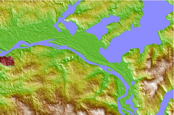
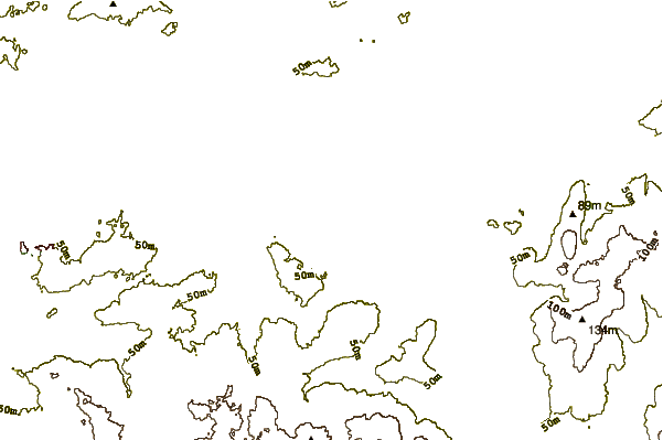
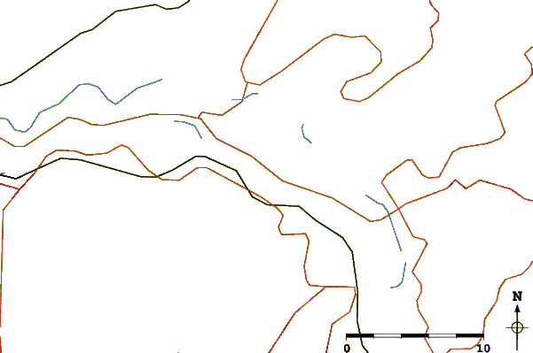
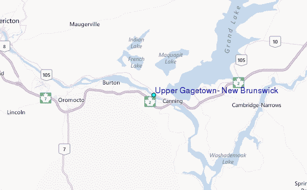
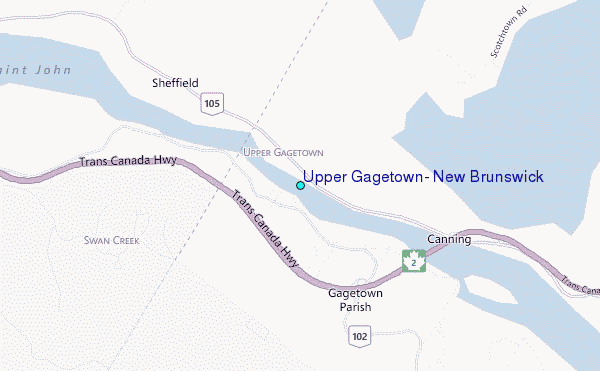
Use this relief map to navigate to tide stations, surf breaks and cities that are in the area of Upper Gagetown, New Brunswick.
Other Nearby Locations' tide tables and tide charts to Upper Gagetown, New Brunswick:
click location name for more details
 Surf breaks close to Upper Gagetown, New Brunswick:
|
||
|---|---|---|
| Closest surf break | Broad Cove | 145 mi |
| Second closest surf break | Cherry Hill | 145 mi |
| Third closest surf break | Hirtle's Beach (Hartling Bay) | 145 mi |
| Fourth closest surf break | Scotts Bay | 149 mi |
| Fifth closest surf break | Summerville | 149 mi |


 Nearest
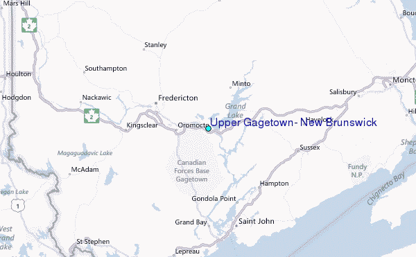