
| Distance / Altitude | Location | Report Date / Time | Live Weather | Wind | Gusts | Temp. | Visibility | Cloud |
|---|---|---|---|---|---|---|---|---|
| 17 km SSW / 0 m | Shionomisaki(47778-1) (Japan) | 2025-12-26 14:00 local (2025/12/26 05:00 GMT) | - | moderate winds from the WNW (22 km/h at 300) | 7°C | 40 km | - no observation - | |
| 19 km SSW / 3 m | Shionomisaki (Marine) | 2025-12-26 14:02 local (2025/12/26 05:02 GMT) | - (- km/h at -) | — | - | |||
| 54 km W / 386 m | Nankishirahama Airport (Japan) | 2025-12-26 13:00 local (2025/12/26 04:00 GMT) | Dry and partly cloudy | strong winds from the NW (39 km/h at 320) | 6°C | 10.0 | few scattered broken | |
| 63 km NNE / 27 m | Owase (Japan) | 2025-12-26 14:00 local (2025/12/26 05:00 GMT) | - | light winds from the WSW (15 km/h at 250) | 9°C | - | no observation | |
| 81 km S / 15 m | SHIP4282 (Marine) | 2025-12-26 12:00 local (2025/12/26 03:00 GMT) | light winds from the E (7.5600000000000005 km/h at 80) | 23°C | 8.1 km | |||
| 81 km S / 15 m | SHIP8191 (Marine) | 2025-12-26 12:00 local (2025/12/26 03:00 GMT) | light winds from the E (7.5600000000000005 km/h at 80) | 23°C | 8.1 km | |||
| 102 km WNW / 18 m | Wakayama (Japan) | 2025-12-26 14:00 local (2025/12/26 05:00 GMT) | Rain and snow or hail | fresh winds from the NNW (31 km/h at 330) | 6°C | 40 km | no observation | |
| 113 km NW / 218 m | Kansai International Airport (Japan) | 2025-12-26 13:30 local (2025/12/26 04:30 GMT) | Shower light rain shower | strong winds from the NW (39 km/h at 310) | 7°C | 10.0 | few broken | |
| 120 km NW / 357 m | Yao Airport (Japan) | 2025-12-26 13:00 local (2025/12/26 04:00 GMT) | Shower light rain shower | fresh winds from the W.(Wind varies from 250 to 320 degs) (30 km/h at 280) | 7°C | 10.0 | few broken | |
| 125 km N / 104 m | Nara (Japan) | 2025-12-26 14:00 local (2025/12/26 05:00 GMT) | Rain and snow or hail | light winds from the NNW (19 km/h at 330) | 5°C | 40 km | - no observation - |
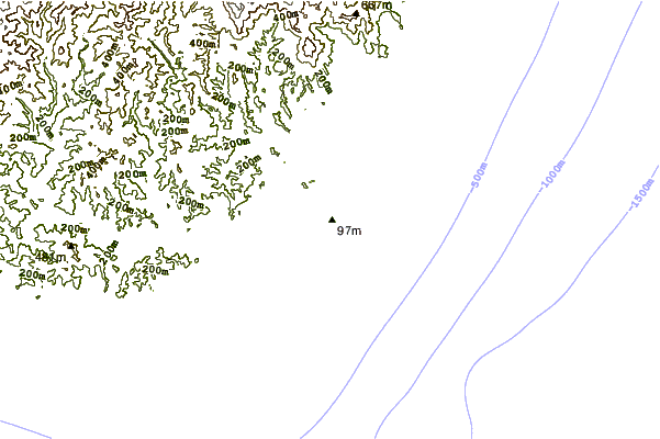
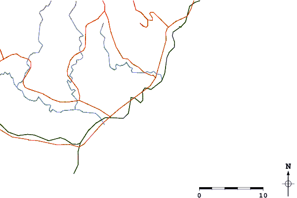
| Contours: | Roads & Rivers: | Select a
tide station / surf break / city |
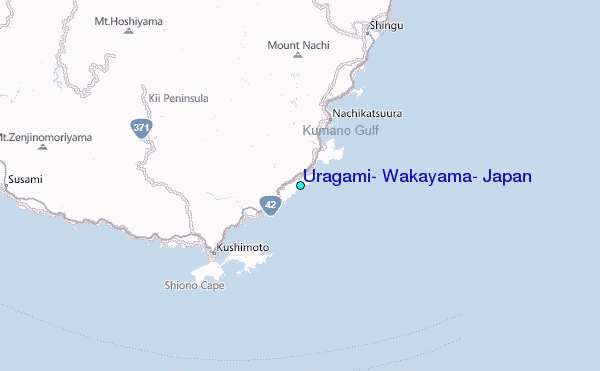
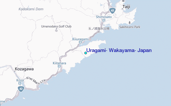
Use this relief map to navigate to tide stations, surf breaks and cities that are in the area of Uragami, Wakayama, Japan.
Other Nearby Locations' tide tables and tide charts to Uragami, Wakayama, Japan:
click location name for more details
 Surf breaks close to Uragami, Wakayama, Japan:
|
||
|---|---|---|
| Closest surf break | Gomoda | 69 mi |
| Second closest surf break | Nunoshima | 78 mi |
| Third closest surf break | Tainohama | 78 mi |
| Fourth closest surf break | Hashikui Bay | 79 mi |
| Fifth closest surf break | Teba Shima | 85 mi |


 Nearest
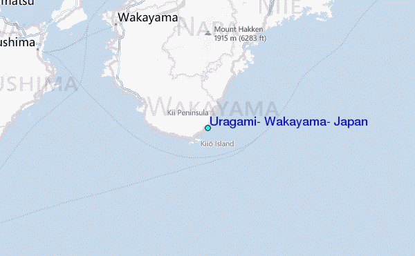