
| Distance / Altitude | Location | Report Date / Time | Live Weather | Wind | Gusts | Temp. | Visibility | Cloud |
|---|---|---|---|---|---|---|---|---|
| 1 km E / 14 m | Ushibuka (Japan) | 2025-12-26 06:00 local (2025/12/25 21:00 GMT) | Moderate to heavy freezing rain | light winds from the N (6 km/h at 10) | 4°C | 40 km | no observation | |
| 27 km SE / 45 m | Akune (Japan) | 2025-12-26 06:00 local (2025/12/25 21:00 GMT) | Rain and snow or hail | moderate winds from the N (20 km/h at 360) | 4°C | 40 km | no observation | |
| 61 km NW / 240 m | Nagasaki (Japan) | 2025-12-26 05:00 local (2025/12/25 20:00 GMT) | Freezing rain | light winds from the NW (19 km/h at 320) | 4°C | 40 km | - no observation - | |
| 64 km NNE / 680 m | Mount Unzendake (Japan) | 2025-12-26 06:00 local (2025/12/25 21:00 GMT) | Clear skies | moderate winds from the WNW (26 km/h at 300) | -3°C | 40 km | - no observation - | |
| 69 km E / 147 m | Hitoyoshi (Japan) | 2025-12-26 06:00 local (2025/12/25 21:00 GMT) | Clear skies | light winds from the W (6 km/h at 280) | 3°C | 40 km | - no observation - | |
| 80 km SE / 474 m | Kagoshima Airport (Japan) | 2025-12-26 06:00 local (2025/12/25 21:00 GMT) | Dry and partly cloudy | moderate winds from the NNW (28 km/h at 330) | 2°C | 10.0 | few scattered - | |
| 80 km N / 474 m | Nagasaki Airport (Japan) | 2025-12-26 06:10 local (2025/12/25 21:10 GMT) | Dry and partly cloudy | strong winds from the NNW (41 km/h at 330) | 4°C | 10.0 | few scattered broken | |
| 87 km SE / 32 m | Kagoshima (Japan) | 2025-12-26 05:00 local (2025/12/25 20:00 GMT) | Rain and snow or hail | moderate winds from the NNW (20 km/h at 340) | 7°C | 40 km | - no observation - | |
| 92 km SSE / 20 m | Kaseda-shirakame wx (Japan) | 2025-12-26 06:32 local (2025/12/25 21:32 GMT) | - | light winds from the N (19 km/h at 4) | 4°C | - | - - 0 | |
| 94 km NE / 39 m | Kumamoto (Japan) | 2025-12-26 05:00 local (2025/12/25 20:00 GMT) | Continuous light snow | light winds from the NW (13 km/h at 310) | 3°C | 40 km | no observation |
| Contours: | Roads & Rivers: | Select a
tide station / surf break / city |
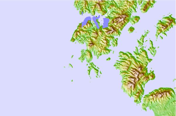

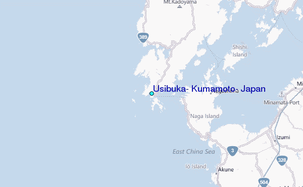
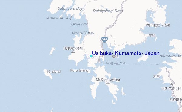
Use this relief map to navigate to tide stations, surf breaks and cities that are in the area of Usibuka, Kumamoto, Japan.
Other Nearby Locations' tide tables and tide charts to Usibuka, Kumamoto, Japan:
click location name for more details
 Surf breaks close to Usibuka, Kumamoto, Japan:
|
||
|---|---|---|
| Closest surf break | Nomozaki | 47 mi |
| Second closest surf break | Golfcourse | 87 mi |
| Third closest surf break | Sosanji Rivermouth | 88 mi |
| Fourth closest surf break | Sosanji | 88 mi |
| Fifth closest surf break | Aoshima Harbour | 89 mi |


 Nearest
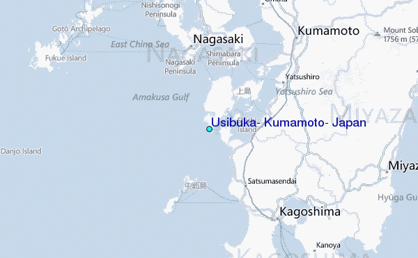