
| Distance / Altitude | Location | Report Date / Time | Live Weather | Wind | Gusts | Temp. | Visibility | Cloud |
|---|---|---|---|---|---|---|---|---|
| 8 km SSE / 19 m | PoolsIsland-Nfld (Canada) | 2025-12-24 08:30 local (2025/12/24 12:00 GMT) | - | fresh winds from the WSW (37 km/h at 240) | -8°C | - | no observation | |
| 67 km SSE / 30 m | Bonavista (Canada) | 2025-12-24 08:30 local (2025/12/24 12:00 GMT) | - | strong winds from the W (48 km/h at 270) | -6°C | - | no observation | |
| 73 km S / 107 m | Terra Nova Nat Park Cs- Nfld (Canada) | 2025-12-24 08:30 local (2025/12/24 12:00 GMT) | - | light winds from the WNW (17 km/h at 290) | -10°C | - | - no observation - | |
| 73 km S / 216 m | Terra Nova Airport (Newfoundland) | 2025-12-24 07:30 local (2025/12/24 11:00 GMT) | - | light winds from the WNW (19 km/h at 300) | -11°C | 0.0 | ||
| 74 km SW / 151 m | GanderIntl A- Nfld (Canada) | 2025-12-24 08:30 local (2025/12/24 12:00 GMT) | Continuous light snow | fresh winds from the W (31 km/h at 280) | -10°C | 29 km | - mostly cloudy - | |
| 74 km SW / 151 m | Gander International Airport (Canada) | 2025-12-24 07:30 local (2025/12/24 11:00 GMT) | - | - (- km/h at -) | — | - | - - - | |
| 74 km SW / 217 m | Gander International Airport (Newfoundland) | 2025-12-24 07:30 local (2025/12/24 11:00 GMT) | Shower light snow | fresh winds from the W (31 km/h at 270) | -10°C | 5 | scattered broken | |
| 101 km WNW / 207 m | Twillingate Airport (Newfoundland) | 2025-12-24 07:30 local (2025/12/24 11:00 GMT) | - | near gales from the NNW (52 km/h at 340) | -6°C | 0.0 | ||
| 103 km WNW / 92 m | Twillingate(Aut)-Nfld (Canada) | 2025-12-24 08:30 local (2025/12/24 12:00 GMT) | No report | strong winds from the NNW (50 km/h at 340) | -5°C | - | no observation | |
| 152 km SSE / 20 m | Gussetts Cove wx (Canada) | 2025-12-24 08:30 local (2025/12/24 12:00 GMT) | dry | - (- km/h at ) | — | - | - - 0 |
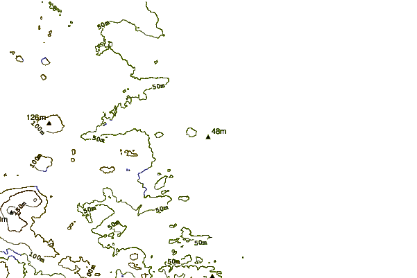
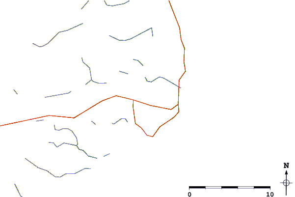
| Contours: | Roads & Rivers: | Select a
tide station / surf break / city |
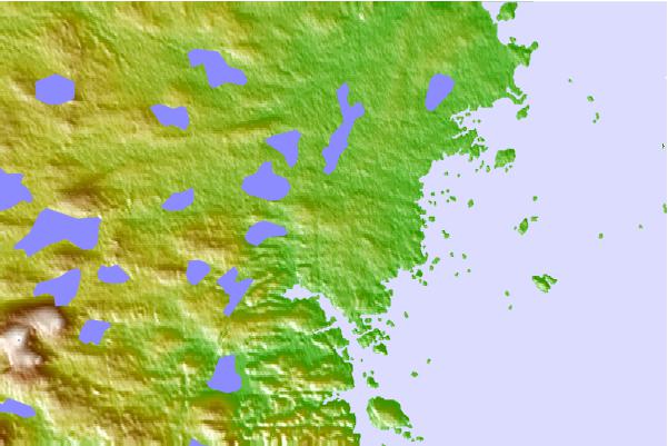
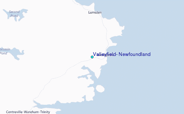
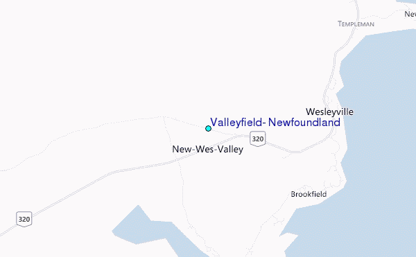
Use this relief map to navigate to tide stations, surf breaks and cities that are in the area of Valleyfield, Newfoundland.
Other Nearby Locations' tide tables and tide charts to Valleyfield, Newfoundland:
click location name for more details
 Surf breaks close to Valleyfield, Newfoundland:
|
||
|---|---|---|
| Closest surf break | Ingonish Beach | 359 mi |
| Second closest surf break | Kennington Cove | 377 mi |
| Third closest surf break | Michaud Point | 414 mi |
| Fourth closest surf break | Martinique | 546 mi |
| Fifth closest surf break | Lawrencetown Left Point | 554 mi |


 Nearest
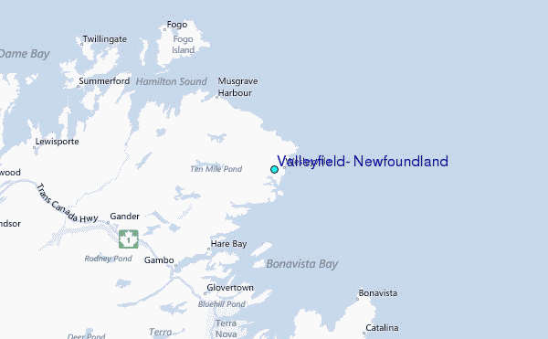