
| Distance / Altitude | Location | Report Date / Time | Live Weather | Wind | Gusts | Temp. | Visibility | Cloud |
|---|---|---|---|---|---|---|---|---|
| 7 km NE / 3 m | Sandown Bay Waverider (Marine) | 2026-02-04 22:49 local (2026/02/04 22:49 GMT) | - (- km/h at -) | — | - | |||
| 8 km SW / 20 m | Wight:St.Catherines Point (United Kingdom) | 2026-02-05 00:00 local (2026/02/05 00:00 GMT) | - | strong winds from the E (41 km/h at 100) | 9°C | - | - no observation - | |
| 22 km NE / 3 m | Hayling Island Waverider (Marine) | 2026-02-04 23:02 local (2026/02/04 23:02 GMT) | - (- km/h at -) | — | - | |||
| 28 km ENE / 3 m | Bracklesham Bay Waverider (Marine) | 2026-02-04 23:02 local (2026/02/04 23:02 GMT) | - (- km/h at -) | — | - | |||
| 30 km NE / 4 m | ThorneyIsland (United Kingdom) | 2026-02-05 00:00 local (2026/02/05 00:00 GMT) | Continuous light rain | moderate winds from the ESE (26 km/h at 110) | 9°C | 37 km | overcast | |
| 33 km NE / 7 m | Chichester (United Kingdom) | 2026-02-05 00:10 local (2026/02/05 00:10 GMT) | dry | light winds from the E (16 km/h at 90) | 8°C | - | - - 0 | |
| 33 km W / 3 m | Milford Waverider (Marine) | 2026-02-04 23:31 local (2026/02/04 23:31 GMT) | - (- km/h at -) | — | - | |||
| 34 km NW / 153 m | Southampton Airport (United Kingdom) | 2026-02-04 23:20 local (2026/02/04 23:20 GMT) | Dry and partly cloudy | light winds from the E (17 km/h at 90) | 8°C | 10.0 | no cloud | |
| 35 km NE / 28 m | Southbourne wx (United Kingdom) | 2026-02-05 00:00 local (2026/02/05 00:00 GMT) | dry | light winds from the ENE (10 km/h at 74) | 8°C | - | - - 0 | |
| 38 km WSW / 3 m | Poole Bay WaveNet Site (Marine) | 2026-02-05 00:00 local (2026/02/05 00:00 GMT) | - (- km/h at -) | — | - |
| Contours: | Roads & Rivers: | Select a
tide station / surf break / city |
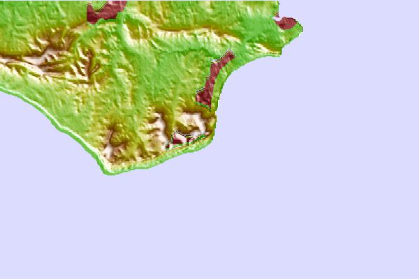
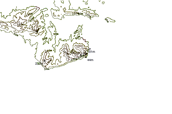
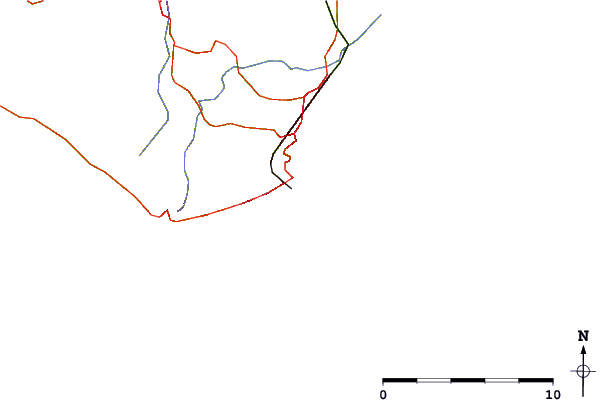
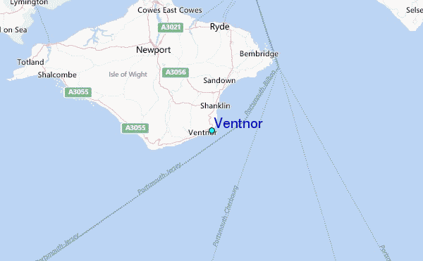
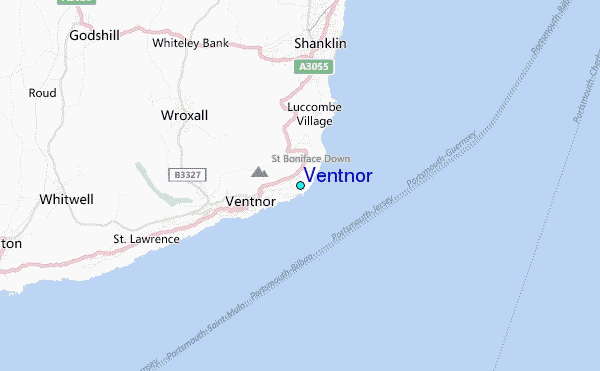
Use this relief map to navigate to tide stations, surf breaks and cities that are in the area of Ventnor.
Other Nearby Locations' tide tables and tide charts to Ventnor:
click location name for more details
 Surf breaks close to Ventnor:
|
||
|---|---|---|
| Closest surf break | Ventnor | 1 mi |
| Second closest surf break | Shanklin (Hope Beach) | 2 mi |
| Third closest surf break | Niton | 6 mi |
| Fourth closest surf break | Whitecliff Bay | 6 mi |
| Fifth closest surf break | Compton Bay | 14 mi |


 Nearest
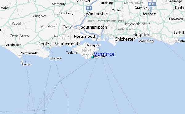