
| Distance / Altitude | Location | Report Date / Time | Live Weather | Wind | Gusts | Temp. | Visibility | Cloud |
|---|---|---|---|---|---|---|---|---|
| 7 km NE / 3 m | Sandown Bay Waverider (Marine) | 2026-06-26 21:31 local (2026/06/26 20:31 GMT) | - (- km/h at -) | — | - | |||
| 14 km WNW / 3 m | SHIP1058 (Marine) | 2026-06-26 20:00 local (2026/06/26 19:00 GMT) | - (- km/h at -) | 20°C | - | |||
| 14 km WNW / 15 m | SHIP2837 (Marine) | 2026-06-26 20:00 local (2026/06/26 19:00 GMT) | - (- km/h at -) | — | - km | |||
| 14 km WNW / 15 m | SHIP4792 (Marine) | 2026-06-26 20:00 local (2026/06/26 19:00 GMT) | - (- km/h at -) | — | - km | |||
| 14 km WNW / 15 m | SHIP2517 (Marine) | 2026-06-26 20:00 local (2026/06/26 19:00 GMT) | - (- km/h at -) | — | - km | |||
| 14 km WNW / 3 m | SHIP805 (Marine) | 2026-06-26 20:00 local (2026/06/26 19:00 GMT) | - (- km/h at -) | 20°C | - | |||
| 14 km WNW / 3 m | SHIP6255 (Marine) | 2026-06-26 20:00 local (2026/06/26 19:00 GMT) | - (- km/h at -) | 20°C | - | |||
| 14 km WNW / 15 m | SHIP6914 (Marine) | 2026-06-26 20:00 local (2026/06/26 19:00 GMT) | - (- km/h at -) | — | - km | |||
| 14 km WNW / 3 m | SHIP4445 (Marine) | 2026-06-26 20:00 local (2026/06/26 19:00 GMT) | - (- km/h at -) | 20°C | - | |||
| 14 km WNW / 15 m | SHIP1488 (Marine) | 2026-06-26 20:00 local (2026/06/26 19:00 GMT) | - (- km/h at -) | — | - km |
| Contours: | Roads & Rivers: | Select a
tide station / surf break / city |
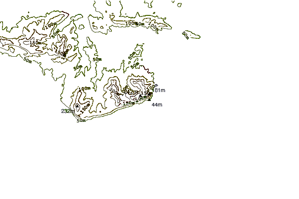
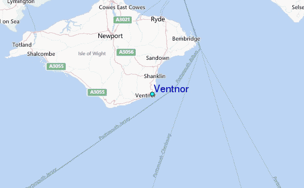
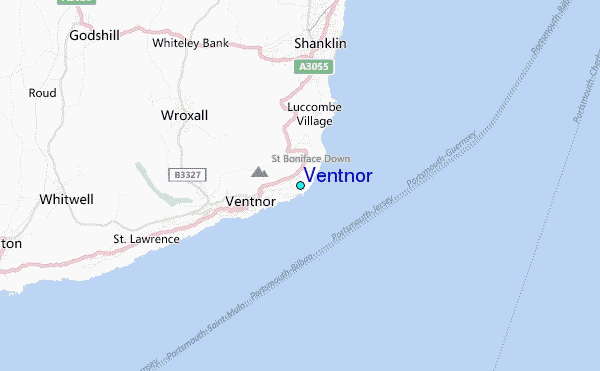
Use this relief map to navigate to tide stations, surf breaks and cities that are in the area of Ventnor.
Other Nearby Locations' tide tables and tide charts to Ventnor:
click location name for more details
 Surf breaks close to Ventnor:
|
||
|---|---|---|
| Closest surf break | Ventnor | 1 mi |
| Second closest surf break | Shanklin (Hope Beach) | 2 mi |
| Third closest surf break | Niton | 6 mi |
| Fourth closest surf break | Whitecliff Bay | 6 mi |
| Fifth closest surf break | Compton Bay | 14 mi |


 Nearest
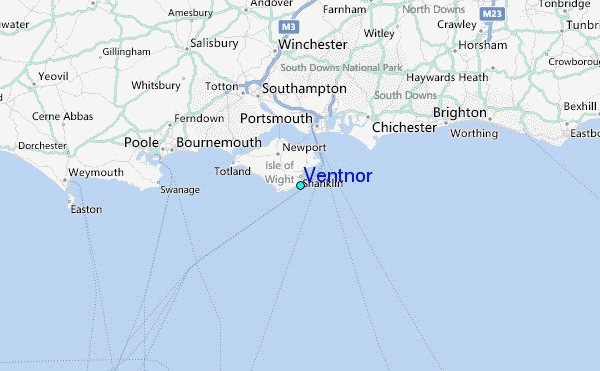