
| Distance / Altitude | Location | Report Date / Time | Live Weather | Wind | Gusts | Temp. | Visibility | Cloud |
|---|---|---|---|---|---|---|---|---|
| 24 km SW / 32 m | Tavira wx (Portugal) | 2025-12-25 23:25 local (2025/12/25 23:25 GMT) | dry | calm (2 km/h at 136) | 10°C | - | - - 0 | |
| 43 km ENE / 20 m | Huelva (Spain) | 2025-12-26 00:17 local (2025/12/26 00:17 GMT) | dry | calm (3 km/h at 315) | 11°C | - | - - 0 | |
| 50 km E / 41 m | Mazagón wx (Spain) | 2025-12-25 23:35 local (2025/12/25 23:35 GMT) | dry | calm (5 km/h at 338) | 11°C | - | - - 0 | |
| 54 km SW / 218 m | Faro Airport (Portugal) | 2025-12-25 23:30 local (2025/12/25 23:30 GMT) | - | calm (2 km/h at 1) | — | 0.0 | ||
| 101 km ESE / 10 m | La Jara (UCA) (Spain) | 2025-12-26 00:00 local (2025/12/26 00:00 GMT) | - | light winds from the SSE (9 km/h at 160) | 10°C | - | - - 0 | |
| 101 km NW / 664 m | Beja Air Foce Base Airport (Portugal) | 2025-12-25 23:00 local (2025/12/25 23:00 GMT) | - | light winds from the NW (6 km/h at 320) | — | 0.0 | ||
| 108 km E / 123 m | Benacazon (Spain) | 2025-12-25 23:04 local (2025/12/25 23:04 GMT) | dry | calm (2 km/h at 281) | 10°C | - | - - 0 | |
| 110 km SE / 12 m | Rota (UCA) (Spain) | 2025-12-26 00:00 local (2025/12/26 00:00 GMT) | - | light winds from the E (13 km/h at 83) | 12°C | - | - - 0 | |
| 113 km ESE / 215 m | Rota Naval Station Airport (Spain) | 2025-12-25 23:30 local (2025/12/25 23:30 GMT) | Light rain | light winds from the ESE (13 km/h at 110) | 11°C | 10.0 | few scattered broken | |
| 119 km ENE / 107 m | Gines (Spain) | 2025-12-25 23:36 local (2025/12/25 23:36 GMT) | dry | calm (0 km/h at 220) | 9°C | - | - - 0 |
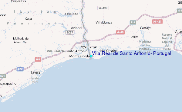
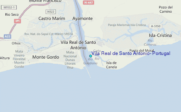
Choose Vila Real de Santo Antonio, Portugal Location Map Zoom:
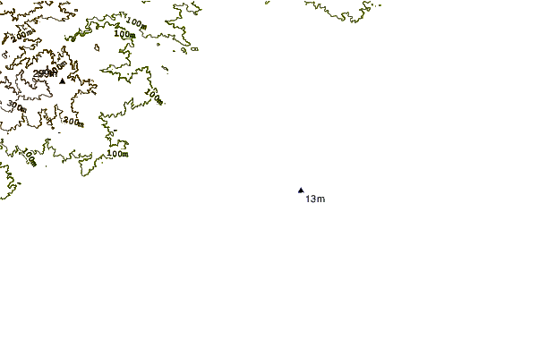
| Contours: | Roads & Rivers: | Select a
tide station / surf break / city |
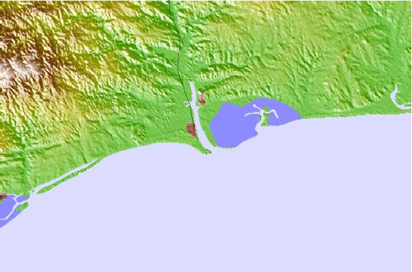
Use this relief map to navigate to tide stations, surf breaks and cities that are in the area of Vila Real de Santo Antonio, Portugal.
Other Nearby Locations' tide tables and tide charts to Vila Real de Santo Antonio, Portugal:
click location name for more details
 Surf breaks close to Vila Real de Santo Antonio, Portugal:
|
||
|---|---|---|
| Closest surf break | Isla Canela | 1 mi |
| Second closest surf break | Vila Real de Santo Antonio | 1 mi |
| Third closest surf break | Punta del Moral | 3 mi |
| Fourth closest surf break | Praia do Cabeco | 4 mi |
| Fifth closest surf break | Playa Central | 5 mi |


 Nearest
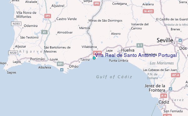