
| Distance / Altitude | Location | Report Date / Time | Live Weather | Wind | Gusts | Temp. | Visibility | Cloud |
|---|---|---|---|---|---|---|---|---|
| 7 km WNW / 15 m | SHIP6640 (Marine) | 2025-12-25 05:00 local (2025/12/25 05:00 GMT) | - (- km/h at -) | — | - km | |||
| 13 km NE / 3 m | Felixstowe Waverider (Marine) | 2025-12-25 06:30 local (2025/12/25 06:30 GMT) | - (- km/h at -) | — | - | |||
| 17 km WNW / 1 m | Manningtree wx (United Kingdom) | 2025-12-25 07:03 local (2025/12/25 07:03 GMT) | dry | moderate winds from the E (27 km/h at 88) | 4°C | - | - - 0 | |
| 18 km N / 2 m | Kirton wx (United Kingdom) | 2025-12-25 07:01 local (2025/12/25 07:01 GMT) | dry | light winds from the ENE (19 km/h at 69) | 5°C | - | - - 0 | |
| 7 km WNW / 3 m | SHIP892 (Marine) | 2025-12-25 05:00 local (2025/12/25 05:00 GMT) | - (- km/h at -) | 6°C | - | |||
| 7 km WNW / 3 m | SHIP8176 (Marine) | 2025-12-25 05:00 local (2025/12/25 05:00 GMT) | - (- km/h at -) | 6°C | - | |||
| 7 km WNW / 3 m | SHIP2488 (Marine) | 2025-12-25 05:00 local (2025/12/25 05:00 GMT) | - (- km/h at -) | 6°C | - | |||
| 7 km WNW / 3 m | SHIP1857 (Marine) | 2025-12-25 05:00 local (2025/12/25 05:00 GMT) | - (- km/h at -) | 6°C | - | |||
| 7 km WNW / 3 m | SHIP5202 (Marine) | 2025-12-25 06:00 local (2025/12/25 06:00 GMT) | - (- km/h at -) | 6°C | - | |||
| 7 km WNW / 15 m | SHIP5882 (Marine) | 2025-12-25 06:00 local (2025/12/25 06:00 GMT) | - (- km/h at -) | — | - km |
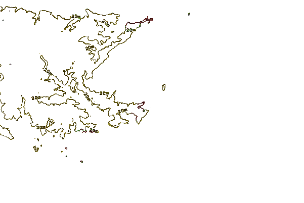
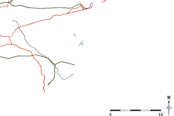
| Contours: | Roads & Rivers: | Select a
tide station / surf break / city |
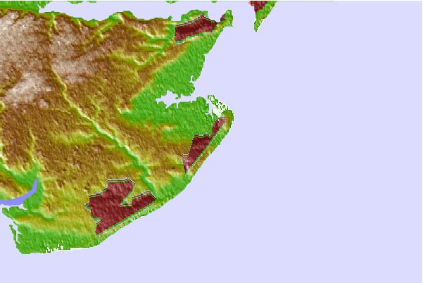
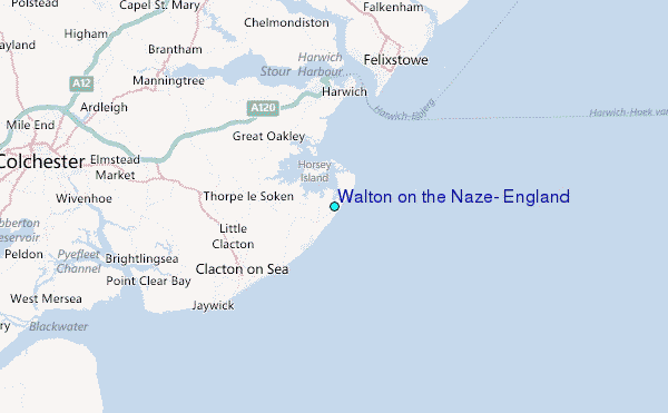
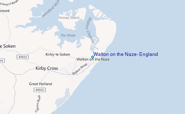
Use this relief map to navigate to tide stations, surf breaks and cities that are in the area of Walton on the Naze, England.
Other Nearby Locations' tide tables and tide charts to Walton on the Naze, England:
click location name for more details
 Surf breaks close to Walton on the Naze, England:
|
||
|---|---|---|
| Closest surf break | Walton-On-The-Naze | 1 mi |
| Second closest surf break | Joss Bay | 33 mi |
| Third closest surf break | Broadstairs | 35 mi |
| Fourth closest surf break | Walberswick | 35 mi |
| Fifth closest surf break | Ramsgate | 37 mi |


 Nearest
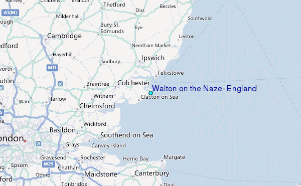