
| Distance / Altitude | Location | Report Date / Time | Live Weather | Wind | Gusts | Temp. | Visibility | Cloud |
|---|---|---|---|---|---|---|---|---|
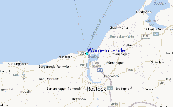
| 0 km NW / 13 m | Warnemuende (Germany) | 2026-04-03 10:00 local (2026/04/03 08:00 GMT) | - | light winds from the WNW (18 km/h at 300) | — | 30 | - - - | |
| 4 km ENE / 1 m | Markgrafenheide wx (Germany) | 2026-04-03 11:37 local (2026/04/03 09:37 GMT) | dry | calm (0 km/h at 0) | 5°C | - | - - 0 | |
| 9 km S / 20 m | Barnstorf wx (Germany) | 2026-04-03 11:09 local (2026/04/03 09:09 GMT) | - | calm (0 km/h at ) | 13°C | - | - - 0 | |
| 14 km SSW / 3 m | Walkenhagen wx (Germany) | 2026-04-03 11:11 local (2026/04/03 09:11 GMT) | dry | moderate winds from the W (27 km/h at 278) | 6°C | - | - - 0 | |
| 22 km ENE / 1 m | Ribnitz wx (Germany) | 2026-04-03 11:29 local (2026/04/03 09:29 GMT) | dry | light winds from the W (11 km/h at 275) | 5°C | - | - - 0 | |
| 31 km SSE / 217 m | Laage Airport (Germany) | 2026-04-03 10:20 local (2026/04/03 08:20 GMT) | Dry and partly cloudy | light winds from the W (17 km/h at 270) | 5°C | 10.0 | few broken | |
| 32 km SW / 19 m | Neubukow wx (Germany) | 2026-04-03 11:03 local (2026/04/03 09:03 GMT) | dry | light winds from the W (14 km/h at 259) | 7°C | - | - - 0 | |
| 45 km NW / 5 m | Gedser (Denmark) | 2026-04-03 11:00 local (2026/04/03 09:00 GMT) | - | moderate winds from the WSW (22 km/h at 240) | — | - | - | |
| 53 km SSW / 14 m | Wendorf wx (Germany) | 2026-04-03 11:26 local (2026/04/03 09:26 GMT) | dry | light winds from the W (10 km/h at 274) | 7°C | - | - - 0 | |
| 59 km E / 16 m | Papenhagen wx (Germany) | 2026-04-03 11:28 local (2026/04/03 09:28 GMT) | dry | light winds from the WNW (19 km/h at 289) | 4°C | - | - - 0 |
| Contours: | Roads & Rivers: | Select a
tide station / surf break / city |
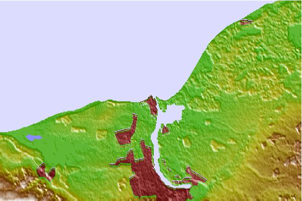
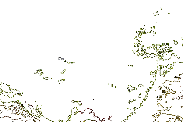
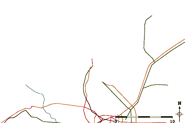
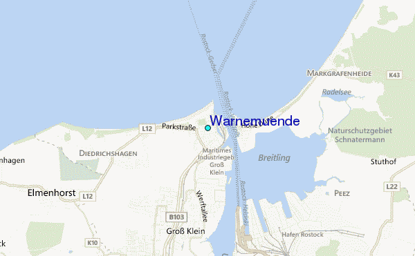
Use this relief map to navigate to tide stations, surf breaks and cities that are in the area of Warnemuende.
Other Nearby Locations' tide tables and tide charts to Warnemuende:
click location name for more details
 Surf breaks close to Warnemuende:
|
||
|---|---|---|
| Closest surf break | Pelzerhaken | 42 mi |
| Second closest surf break | Fehmarn | 44 mi |
| Third closest surf break | Dazendorf | 49 mi |
| Fourth closest surf break | Hohwachter Bucht | 57 mi |
| Fifth closest surf break | Damp | 87 mi |


 Nearest
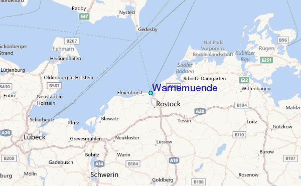