
| Distance / Altitude | Location | Report Date / Time | Live Weather | Wind | Gusts | Temp. | Visibility | Cloud |
|---|---|---|---|---|---|---|---|---|
| 36 km SW / 216 m | Blanc Sablon Airport (Quebec) | 2026-02-13 04:00 local (2026/02/13 08:00 GMT) | Light rain | moderate winds from the N (24 km/h at 10) | 2°C | 6 | overcast | |
| 37 km SW / 37 m | Lourdes DE Blanc Sablon A- Que (Canada) | 2026-02-13 04:00 local (2026/02/13 08:00 GMT) | - | - (- km/h at -) | — | - | - - - | |
| 49 km ESE / 33 m | St.Anthony-Nfld (Canada) | 2026-02-13 05:00 local (2026/02/13 09:00 GMT) | Continuous light snow | moderate winds from the N (24 km/h at 350) | -1°C | 4.8 km | - overcast - | |
| 49 km ESE / 196 m | Saint Anthony Airport (Newfoundland) | 2026-02-13 04:00 local (2026/02/13 08:00 GMT) | - | moderate winds from the N (22 km/h at 360) | — | 0.0 | scattered | |
| 51 km S / 3 m | SHIP6935 (Marine) | 2026-02-13 04:00 local (2026/02/13 08:00 GMT) | light winds from the WSW (15 km/h at 250) | 0°C | - | |||
| 51 km S / 15 m | SHIP7812 (Marine) | 2026-02-13 04:00 local (2026/02/13 08:00 GMT) | light winds from the WSW (14.76 km/h at 250) | — | - km | |||
| 51 km S / 3 m | SHIP7596 (Marine) | 2026-02-13 04:00 local (2026/02/13 08:00 GMT) | light winds from the WSW (15 km/h at 250) | 0°C | - | |||
| 51 km S / 3 m | SHIP2449 (Marine) | 2026-02-13 04:00 local (2026/02/13 08:00 GMT) | light winds from the WSW (15 km/h at 250) | 0°C | - | |||
| 51 km S / 3 m | SHIP9587 (Marine) | 2026-02-13 04:00 local (2026/02/13 08:00 GMT) | light winds from the WSW (15 km/h at 250) | 0°C | - | |||
| 55 km SSW / 3 m | SHIP7183 (Marine) | 2026-02-13 03:00 local (2026/02/13 07:00 GMT) | calm (2 km/h at 70) | 0°C | - |
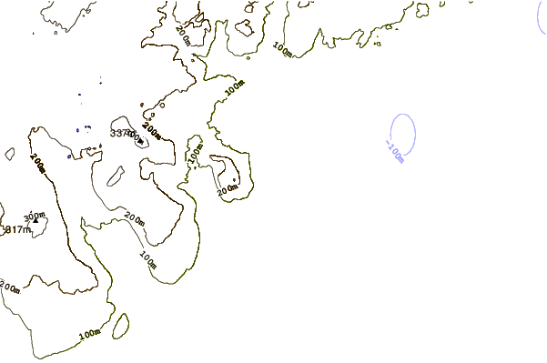
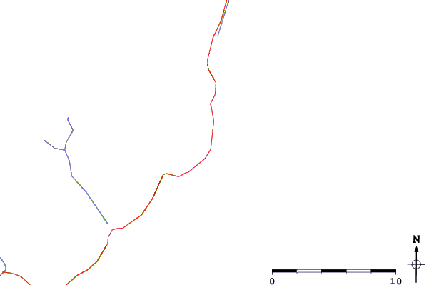
| Contours: | Roads & Rivers: | Select a
tide station / surf break / city |
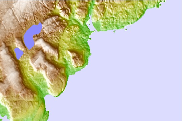
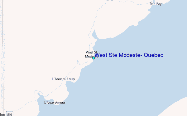
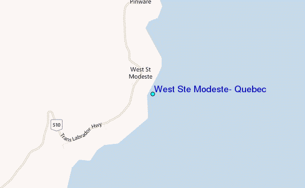
Use this relief map to navigate to tide stations, surf breaks and cities that are in the area of West Ste Modeste, Quebec.
Other Nearby Locations' tide tables and tide charts to West Ste Modeste, Quebec:
click location name for more details
 Surf breaks close to West Ste Modeste, Quebec:
|
||
|---|---|---|
| Closest surf break | Ingonish Beach | 380 mi |
| Second closest surf break | Kennington Cove | 423 mi |
| Third closest surf break | Michaud Point | 454 mi |
| Fourth closest surf break | Martinique | 562 mi |
| Fifth closest surf break | Lawrencetown Left Point | 569 mi |


 Nearest
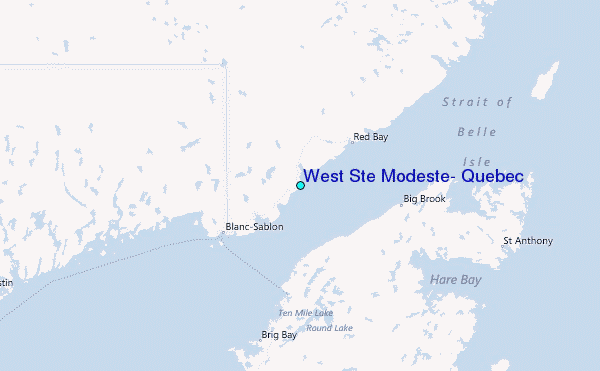