
| Distance / Altitude | Location | Report Date / Time | Live Weather | Wind | Gusts | Temp. | Visibility | Cloud |
|---|---|---|---|---|---|---|---|---|
| 4 km ENE / 216 m | Englee Airport (Newfoundland) | 2026-01-29 20:30 local (2026/01/30 00:00 GMT) | - | moderate winds from the WNW (26 km/h at 300) | -3°C | 0.0 | ||
| 4 km ENE / 30 m | Englee (Aut)- Nfld (Canada) | 2026-01-29 20:30 local (2026/01/30 00:00 GMT) | - | strong winds from the W (47 km/h at 280) | — | - | - - - | |
| 75 km W / 6 m | Ferolle Point (Aut)- Nfld (Canada) | 2026-01-29 20:30 local (2026/01/30 00:00 GMT) | - | strong winds from the SSW (50 km/h at 200) | — | - | - - - | |
| 75 km W / 216 m | Ferolle Point Airport (Newfoundland) | 2026-01-29 20:30 local (2026/01/30 00:00 GMT) | - | moderate winds from the SSW (26 km/h at 200) | -4°C | 0.0 | ||
| 76 km N / 196 m | Saint Anthony Airport (Newfoundland) | 2026-01-29 20:55 local (2026/01/30 00:25 GMT) | Dry and cloudy | moderate winds from the W (22 km/h at 260) | -4°C | 0.0 | overcast | |
| 77 km N / 33 m | St. Anthony- Nfld (Canada) | 2026-01-29 20:30 local (2026/01/30 00:00 GMT) | - | wind obs. (40 kph from 230 degs) was rejected (- km/h at -) | — | - | - - - | |
| 94 km SSE / 194 m | La Scie, Newfoundland (Canada) | 2026-01-29 20:30 local (2026/01/30 00:00 GMT) | - | wind obs. (14 kph from 230 degs) was rejected (- km/h at -) | — | - | - - - | |
| 109 km WNW / 216 m | Blanc Sablon Airport (Quebec) | 2026-01-29 21:09 local (2026/01/30 00:39 GMT) | Light snow | calm (4 km/h at 40) | -2°C | 13 | overcast | |
| 110 km WNW / 37 m | LourdesDEBlanc Sablon A- Que (Canada) | 2026-01-29 21:30 local (2026/01/30 01:00 GMT) | - | light winds from the SSW (13 km/h at 200) | — | 1.0 km | - overcast - | |
| 143 km W / 3 m | SHIP7388 (Marine) | 2026-01-29 21:30 local (2026/01/30 01:00 GMT) | light winds from the NE (15 km/h at 50) | -2°C | - |
| Contours: | Roads & Rivers: | Select a
tide station / surf break / city |
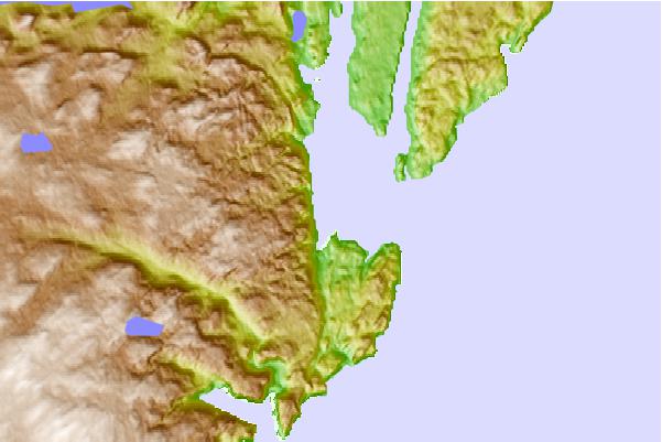
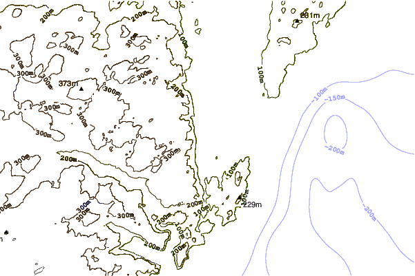
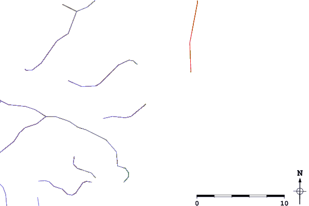
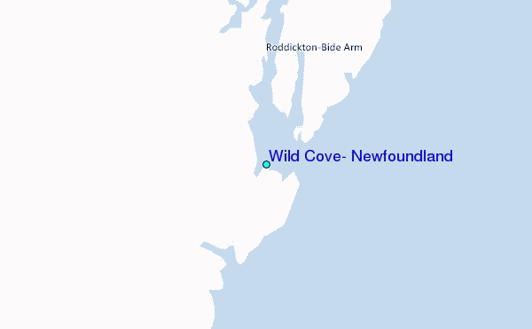
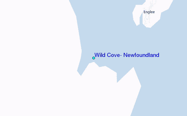
Use this relief map to navigate to tide stations, surf breaks and cities that are in the area of Wild Cove, Newfoundland.
Other Nearby Locations' tide tables and tide charts to Wild Cove, Newfoundland:
click location name for more details
 Surf breaks close to Wild Cove, Newfoundland:
|
||
|---|---|---|
| Closest surf break | Ingonish Beach | 341 mi |
| Second closest surf break | Kennington Cove | 378 mi |
| Third closest surf break | Michaud Point | 411 mi |
| Fourth closest surf break | Martinique | 528 mi |
| Fifth closest surf break | Lawrencetown Left Point | 535 mi |


 Nearest
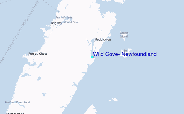