
| Distance / Altitude | Location | Report Date / Time | Live Weather | Wind | Gusts | Temp. | Visibility | Cloud |
|---|---|---|---|---|---|---|---|---|
| 24 km W / 191 m | Kingston/Norman Manley International Airport (Jamaica) | 2025-12-22 22:00 local (2025/12/23 03:00 GMT) | - | wind obs. (7 kph from 300 degs) was rejected (- km/h at -) | 26°C | - | - no observation - | |
| 159 km W / 193 m | Sangster/Montego Bay Airport (Jamaica) | 2025-12-22 22:00 local (2025/12/23 03:00 GMT) | Rain showers | light winds from the ESE (17 km/h at 120) | 26°C | 35 km | scattered scattered - | |
| 195 km W / 30 m | Negril (Jamaica) | 2025-12-22 21:21 local (2025/12/23 02:21 GMT) | dry | calm (2 km/h at 68) | 25°C | - | - - 0 | |
| 230 km NE / 3 m | SHIP5919 (Marine) | 2025-12-22 22:00 local (2025/12/23 03:00 GMT) | - (- km/h at -) | 26°C | - | |||
| 245 km NNE / 55 m | SantiagoDECuba- Oriente (Cuba) | 2025-12-22 22:00 local (2025/12/23 03:00 GMT) | Clear skies | light winds from the NNE (18 km/h at 20) | 24°C | 29 km | few | |
| 245 km NNE / 209 m | Santiago De Cuba Airport (Cuba) | 2025-12-22 20:50 local (2025/12/23 01:50 GMT) | - | light winds from the NNE.(Wind varies from 350 to 050 degs) (17 km/h at 20) | 25°C | 9.0 | few | |
| 260 km NE / 15 m | SHIP7399 (Marine) | 2025-12-22 21:00 local (2025/12/23 02:00 GMT) | - (- km/h at -) | — | - km | |||
| 260 km NE / 3 m | SHIP8541 (Marine) | 2025-12-22 21:00 local (2025/12/23 02:00 GMT) | - (- km/h at -) | 26°C | - | |||
| 260 km NE / 3 m | SHIP5415 (Marine) | 2025-12-22 21:00 local (2025/12/23 02:00 GMT) | - (- km/h at -) | 26°C | - | |||
| 260 km NE / 15 m | SHIP2890 (Marine) | 2025-12-22 21:00 local (2025/12/23 02:00 GMT) | - (- km/h at -) | — | - km |
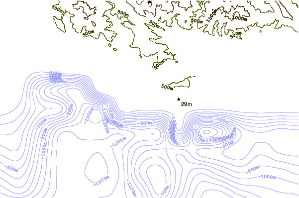
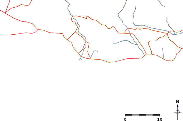
| Contours: | Roads & Rivers: | Select a
tide station / surf break / city |
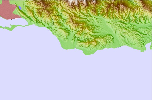
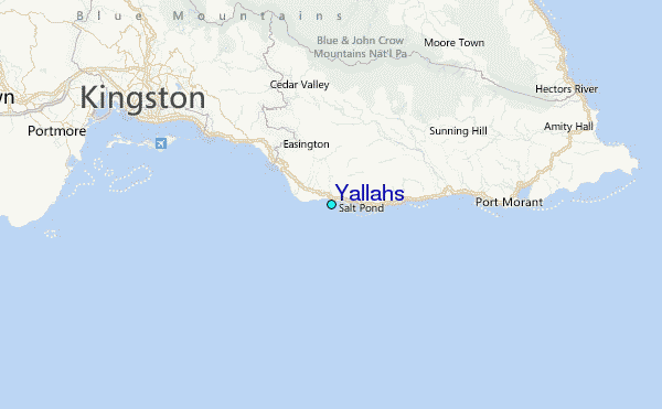
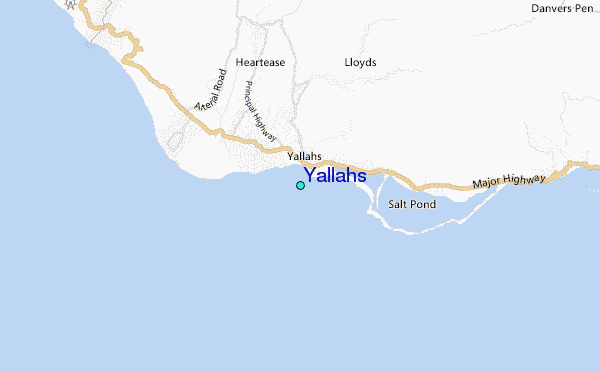
Use this relief map to navigate to tide stations, surf breaks and cities that are in the area of Yallahs.
Other Nearby Locations' tide tables and tide charts to Yallahs:
click location name for more details
 Surf breaks close to Yallahs:
|
||
|---|---|---|
| Closest surf break | Makka | 1 mi |
| Second closest surf break | Copa (Bull Bay) | 10 mi |
| Third closest surf break | Zoo (Bull Bay) | 11 mi |
| Fourth closest surf break | Lighthouse 2 | 14 mi |
| Fifth closest surf break | Long Bay | 23 mi |


 Nearest