
| Distance / Altitude | Location | Report Date / Time | Live Weather | Wind | Gusts | Temp. | Visibility | Cloud |
|---|---|---|---|---|---|---|---|---|
| 24 km W / 191 m | Kingston/Norman Manley International Airport (Jamaica) | 2026-07-09 18:00 local (2026/07/09 23:00 GMT) | - | fresh winds from the ESE (31 km/h at 110) | 31°C | |||
| 159 km W / 193 m | Sangster/Montego Bay Airport (Jamaica) | 2026-07-09 18:00 local (2026/07/09 23:00 GMT) | - | fresh winds from the E (35 km/h at 90) | 31°C | 10.0 | few | |
| 245 km NNE / 209 m | Santiago De Cuba Airport (Cuba) | 2026-07-09 17:50 local (2026/07/09 22:50 GMT) | - | moderate winds from the ESE (24 km/h at 120) | 30°C | 9.0 | few | |
| 265 km NNE / 203 m | Guantanamo Bay Airport (Cuba) | 2026-07-09 17:51 local (2026/07/09 22:51 GMT) | - | moderate winds from the E (26 km/h at 90) | 32°C | 14 | few few | |
| 281 km NW / 18 m | lightning 4km W of Manzanillo (Cuba) | 2026-07-09 17:51 local (2026/07/09 22:51 GMT) | Thunderstorm | (- km/h at -) | — | |||
| 301 km NW / 0 m | lightning 32km NW of Campechuela (Cuba) | 2026-07-09 18:20 local (2026/07/09 23:20 GMT) | Thunderstorm | (- km/h at -) | — | |||
| 302 km NW / 0 m | lightning 36km NW of Media Luna (Cuba) | 2026-07-09 18:47 local (2026/07/09 23:47 GMT) | Thunderstorm | (- km/h at -) | — | |||
| 322 km N / 208 m | Holguin Airport (Cuba) | 2026-07-09 17:50 local (2026/07/09 22:50 GMT) | - | fresh winds from the ENE (30 km/h at 70) | — | 0.0 | ||
| 331 km NW / 0 m | lightning 38km SSW of Colombia (Cuba) | 2026-07-09 18:19 local (2026/07/09 23:19 GMT) | Thunderstorm | (- km/h at -) | — | |||
| 337 km NW / 0 m | lightning 31km SW of Santa Cruz del Sur (Cuba) | 2026-07-09 19:51 local (2026/07/10 00:51 GMT) | Thunderstorm | (- km/h at -) | — |
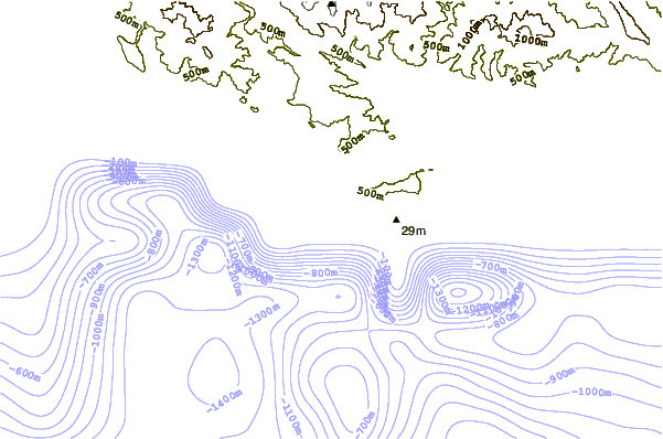
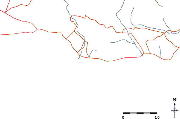
| Contours: | Roads & Rivers: | Select a
tide station / surf break / city |
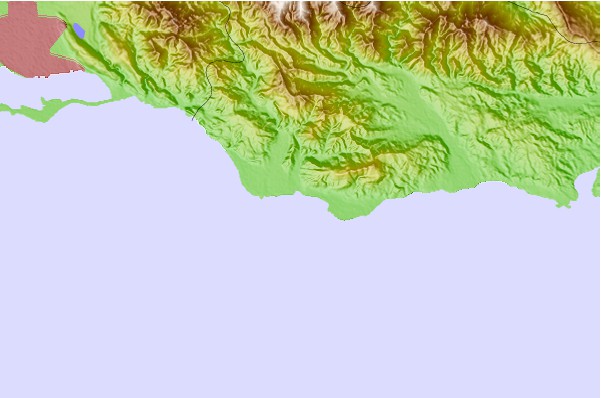
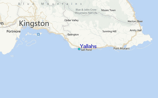
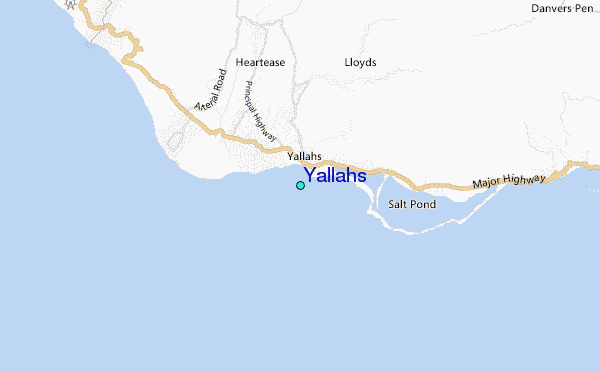
Use this relief map to navigate to tide stations, surf breaks and cities that are in the area of Yallahs.
Other Nearby Locations' tide tables and tide charts to Yallahs:
click location name for more details
 Surf breaks close to Yallahs:
|
||
|---|---|---|
| Closest surf break | Makka | 1 mi |
| Second closest surf break | Copa (Bull Bay) | 10 mi |
| Third closest surf break | Zoo (Bull Bay) | 11 mi |
| Fourth closest surf break | Lighthouse 2 | 14 mi |
| Fifth closest surf break | Long Bay | 23 mi |


 Nearest