
| Distance / Altitude | Location | Report Date / Time | Live Weather | Wind | Gusts | Temp. | Visibility | Cloud |
|---|---|---|---|---|---|---|---|---|
| 33 km ENE / 158 m | Tumbes Pedro Canga Rodríguez Airport (Peru) | 2024-04-26 20:00 local (2024/04/27 01:00 GMT) | Dry and partly cloudy | light winds from the WNW (6 km/h at 300) | 27°C | 10.0 | broken | |
| 80 km ENE / 52 m | Machala Larrea Airport (Ecuador) | 2024-04-26 19:00 local (2024/04/27 00:00 GMT) | Dry and partly cloudy | light winds from the E (6 km/h at 90) | 26°C | 10.0 | few broken - | |
| 89 km ENE / 12 m | Puerto Pito wx (Ecuador) | 2024-04-26 21:18 local (2024/04/27 02:18 GMT) | dry | light winds from the WSW (8 km/h at 248) | 26°C | - | - - 0 | |
| 94 km ESE / 1495 m | Casharum wx (Ecuador) | 2024-04-26 21:11 local (2024/04/27 02:11 GMT) | dry | calm (5 km/h at 247) | 16°C | - | - - 0 | |
| 119 km S / 220 m | Talara/Cap. FAP Víctor Montes Arias International Airport (Peru) | 2024-04-26 20:00 local (2024/04/27 01:00 GMT) | - | moderate winds from the S (24 km/h at 170) | — | 0.0 |
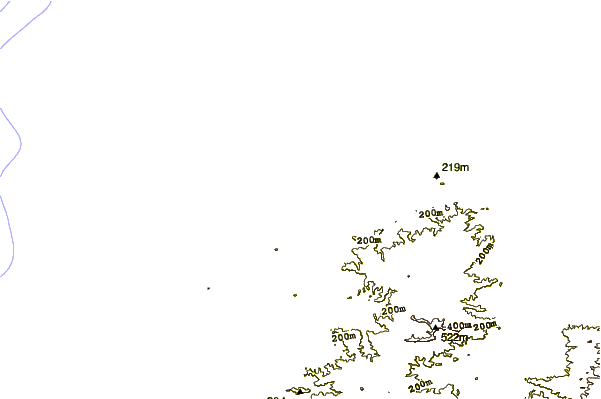
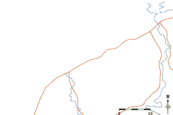
| Contours: | Roads & Rivers: | Select a
tide station / surf break / city |
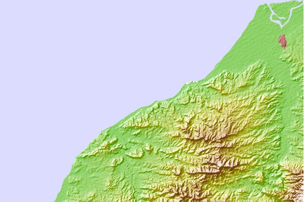
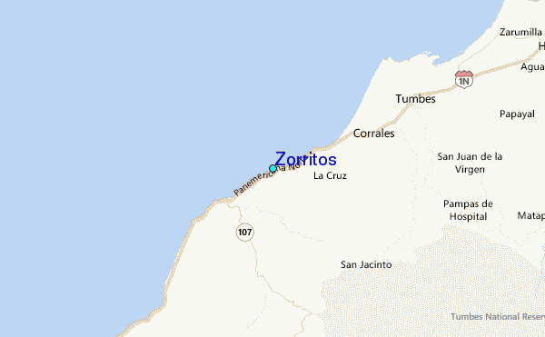
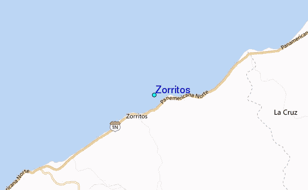
Use this relief map to navigate to tide stations, surf breaks and cities that are in the area of Zorritos.
Other Nearby Locations' tide tables and tide charts to Zorritos:
click location name for more details
 Surf breaks close to Zorritos:
|
||
|---|---|---|
| Closest surf break | Zorritos | 1 mi |
| Second closest surf break | Peña Redonda | 6 mi |
| Third closest surf break | Punta Mero | 10 mi |
| Fourth closest surf break | Cancas | 29 mi |
| Fifth closest surf break | Punta Sal | 30 mi |

 Nearest
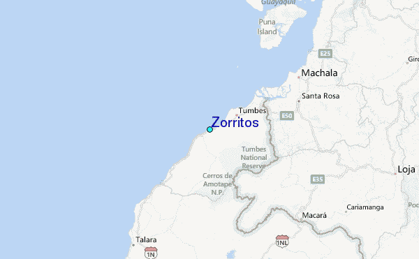