
| Distance / Altitude | Location | Report Date / Time | Live Weather | Wind | Gusts | Temp. | Visibility | Cloud |
|---|---|---|---|---|---|---|---|---|
| 20 km ESE / 444 m | Acapulco/General Juan N. Álvarez International Airport (Mexico) | 2026-07-09 12:49 local (2026/07/09 18:49 GMT) | Dry and partly cloudy | light winds from the WSW (15 km/h at 240) | 33°C | 13 | broken | |
| 91 km NNE / 1265 m | Chilpancingo- Ro. (Mexico) | 2026-07-09 13:00 local (2026/07/09 19:00 GMT) | no report | wind obs. (14 kph from 140 degs) was rejected (- km/h at -) | 21°C | 400 | - | |
| 174 km NNE / 959 m | Iguala de la Independencia (Mexico) | 2026-07-09 14:06 local (2026/07/09 20:06 GMT) | dry | calm (2 km/h at 190) | 32°C | - | - - 0 | |
| 186 km W / 245 m | Ixtapa Zihuatane Airport (Mexico) | 2026-07-09 13:40 local (2026/07/09 19:40 GMT) | Dry and partly cloudy | light winds from the WSW (11 km/h at 250) | 35°C | 11 | broken | |
| 208 km ENE / 1570 m | lightning 27km NNW of Santiago Juxtlahuaca (Mexico) | 2026-07-09 14:17 local (2026/07/09 20:17 GMT) | Thunderstorm | (- km/h at -) | — | |||
| 240 km NNE / 1562 m | Cuernavaca Airport (Mexico) | 2026-07-09 12:53 local (2026/07/09 18:53 GMT) | Dry and partly cloudy | wind obs. (7 kph from 300 degs) was rejected (- km/h at -) | 26°C | 16 | broken broken | |
| 247 km N / 2180 m | El Peñon Take off (Mexico) | 2026-07-09 14:00 local (2026/07/09 20:00 GMT) | - | moderate winds from the SW (28 km/h at 234) | 18°C | - | - - 0 | |
| 280 km N / 2583 m | Toluca Airport/Jose Maria Airport (Mexico) | 2026-07-09 12:48 local (2026/07/09 18:48 GMT) | Dry and partly cloudy | light winds from the SSE (19 km/h at 160) | 19°C | 13 | scattered broken broken | |
| 294 km NE / 2105 m | El Paraíso wx (Mexico) | 2026-07-09 13:11 local (2026/07/09 19:11 GMT) | dry | calm (2 km/h at 254) | 24°C | - | - - 0 | |
| 298 km NE / 2098 m | Magisterial wx (Mexico) | 2026-07-09 13:20 local (2026/07/09 19:20 GMT) | - | - (- km/h at ) | — | - | - - 0 |
| Contours: | Roads & Rivers: | Select a
tide station / surf break / city |
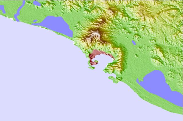
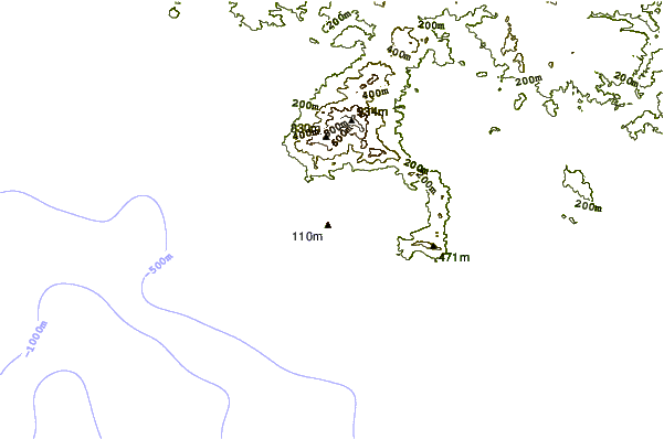
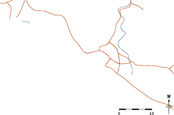
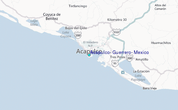
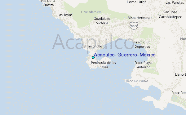
Use this relief map to navigate to tide stations, surf breaks and cities that are in the area of Acapulco, Guerrero, Mexico.
Other Nearby Locations' tide tables and tide charts to Acapulco, Guerrero, Mexico:
click location name for more details
 Surf breaks close to Acapulco, Guerrero, Mexico:
|
||
|---|---|---|
| Closest surf break | Cacas Point | 1 mi |
| Second closest surf break | Revolcadero | 4 mi |
| Third closest surf break | Playa Princess | 5 mi |
| Fourth closest surf break | Playa Bonfil | 14 mi |
| Fifth closest surf break | Rio Papagayo | 22 mi |


 Nearest
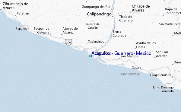