
| Distance / Altitude | Location | Report Date / Time | Live Weather | Wind | Gusts | Temp. | Visibility | Cloud |
|---|---|---|---|---|---|---|---|---|
| 1 km NE / 6 m | Adele Island (Australia) | 2026-07-23 10:00 local (2026/07/23 02:00 GMT) | no report | wind obs. (11 kph from 180 degs) was rejected (- km/h at -) | 26°C | - | - - - | |
| 134 km SE / 15 m | SHIP2254 (Marine) | 2026-07-23 09:00 local (2026/07/23 01:00 GMT) | - (- km/h at -) | 25°C | - km | |||
| 165 km SSE / 7 m | Yampi Sound (Defence) (Australia) | 2026-07-23 10:00 local (2026/07/23 02:00 GMT) | no report | wind obs. (9 kph from 250 degs) was rejected (- km/h at -) | 27°C | - | - - - | |
| 213 km SSE / 7 m | Derby Airport (Australia) | 2026-07-23 10:00 local (2026/07/23 02:00 GMT) | no report | wind obs. (6 kph from 350 degs) was rejected (- km/h at -) | 27°C | - | - - - | |
| 240 km SSE / 78 m | Curtin (Australia) | 2026-07-23 10:00 local (2026/07/23 02:00 GMT) | no report | wind obs. (9 kph from 160 degs) was rejected (- km/h at -) | 27°C | - | - | |
| 164 km SSE / 7 m | Yampi Sound (Defence) (Australia) | 2026-07-23 10:00 local (2026/07/23 02:00 GMT) | no report | wind obs. (9 kph from 250 degs) was rejected (- km/h at -) | 27°C | - | - - - | |
| 212 km SSE / 7 m | Derby Airport (Australia) | 2026-07-23 10:00 local (2026/07/23 02:00 GMT) | no report | wind obs. (6 kph from 350 degs) was rejected (- km/h at -) | 27°C | - | - - - | |
| 239 km SSE / 78 m | Curtin (Australia) | 2026-07-23 10:00 local (2026/07/23 02:00 GMT) | no report | wind obs. (9 kph from 160 degs) was rejected (- km/h at -) | 27°C | - | - | |
| 240 km SSE / 212 m | Curtin/Derby Airport (Australia) | 2026-07-23 10:30 local (2026/07/23 02:30 GMT) | Dry and partly cloudy | moderate winds from the ESE (20 km/h at 110) | 27°C | 10.0 | no cloud | |
| 285 km S / 218 m | Broome Airport (Australia) | 2026-07-23 10:30 local (2026/07/23 02:30 GMT) | Dry and partly cloudy | light winds from the SE (17 km/h at 130) | 28°C | 10.0 | no cloud |
| Contours: | Roads & Rivers: | Select a
tide station / surf break / city |

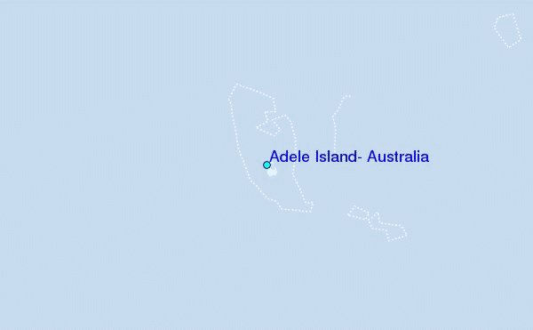
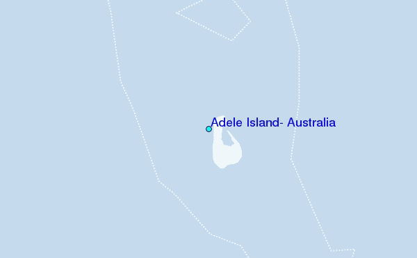
Use this relief map to navigate to tide stations, surf breaks and cities that are in the area of Adele Island, Australia.
Other Nearby Locations' tide tables and tide charts to Adele Island, Australia:
click location name for more details
 Surf breaks close to Adele Island, Australia:
|
||
|---|---|---|
| Closest surf break | Cable Beach (Broome) | 175 mi |
| Second closest surf break | Gantheaume Point (Broome) | 181 mi |
| Third closest surf break | Ndana | 315 mi |
| Fourth closest surf break | Boa | 318 mi |
| Fifth closest surf break | Peanuts | 318 mi |


 Nearest
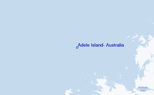