
| Distance / Altitude | Location | Report Date / Time | Live Weather | Wind | Gusts | Temp. | Visibility | Cloud |
|---|---|---|---|---|---|---|---|---|
| 4 km E / 236 m | Arzew (Algeria) | 2026-07-09 19:00 local (2026/07/09 18:00 GMT) | no report | - (- km/h at -) | — | - | - | |
| 33 km SW / 22 m | Oran Port (Algeria) | 2026-07-09 19:00 local (2026/07/09 18:00 GMT) | no report | - (- km/h at -) | — | - | - - - | |
| 34 km SSW / 217 m | Oran es Senia Airport (Algeria) | 2026-07-09 19:30 local (2026/07/09 18:30 GMT) | Dry and partly cloudy | wind obs. (13 kph from 340 degs) was rejected (- km/h at -) | 31°C | 10.0 | few scattered - | |
| 36 km S / 199 m | Oran/Tafaroui Airport (Algeria) | 2026-07-09 19:00 local (2026/07/09 18:00 GMT) | - | light winds from the NNW (11 km/h at 340) | — | 0.0 | ||
| 38 km ENE / 236 m | Mostaganem (Algeria) | 2026-07-09 19:00 local (2026/07/09 18:00 GMT) | no report | - (- km/h at -) | — | - | - | |
| 41 km S / 111 m | Oran Tafaraoui (Algeria) | 2026-07-09 19:00 local (2026/07/09 18:00 GMT) | - | moderate winds from the WSW (22 km/h at 250) | — | 10 | - - - | |
| 72 km SE / 696 m | Mascara/Ghriss Airport (Algeria) | 2026-07-09 19:00 local (2026/07/09 18:00 GMT) | no report | moderate winds from the N (22 km/h at 350) | — | 0.0 | - - - | |
| 75 km S / 476 m | Sidi Bel Abbes (Algeria) | 2026-07-09 19:00 local (2026/07/09 18:00 GMT) | no report | - (- km/h at -) | — | - | - | |
| 75 km S / 476 m | Sidi Bel Abbes (Algeria) | 2026-07-09 19:00 local (2026/07/09 18:00 GMT) | no report | - (- km/h at -) | — | - | - - - | |
| 76 km E / 75 m | Relizane (Algeria) | 2026-07-09 19:00 local (2026/07/09 18:00 GMT) | no report | - (- km/h at -) | — | - | - - - |
| Contours: | Roads & Rivers: | Select a
tide station / surf break / city |
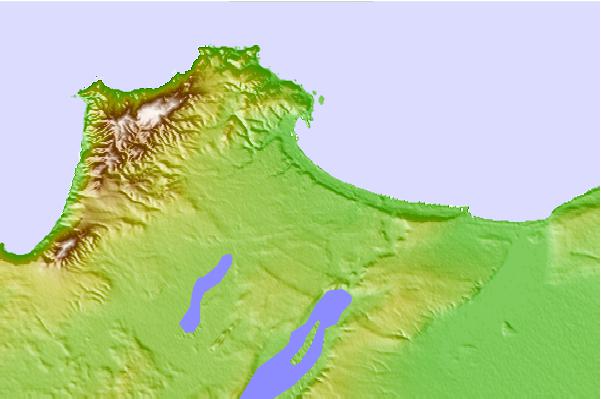
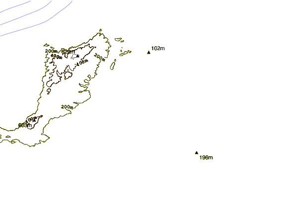
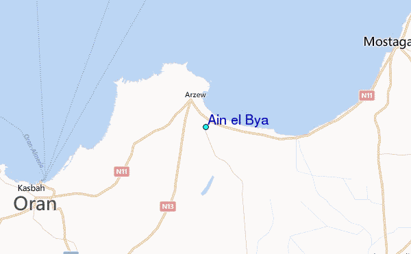
Use this relief map to navigate to tide stations, surf breaks and cities that are in the area of Ain el Bya.
Other Nearby Locations' tide tables and tide charts to Ain el Bya:
click location name for more details
 Surf breaks close to Ain el Bya:
|
||
|---|---|---|
| Closest surf break | Pico de el Puerto | 120 mi |
| Second closest surf break | Pico de las Cocheras | 121 mi |
| Third closest surf break | Mojacar | 125 mi |
| Fourth closest surf break | Playa de Levante | 131 mi |
| Fifth closest surf break | Playa de Entremares | 132 mi |


 Nearest
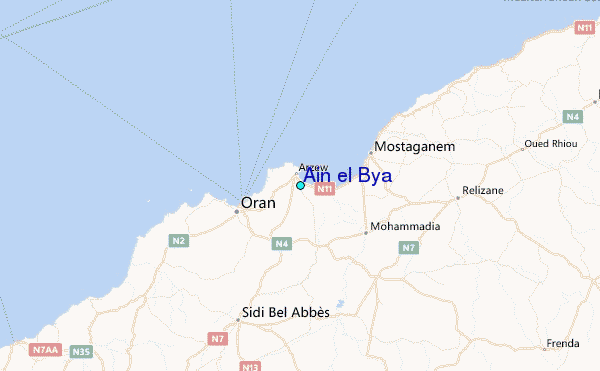