
| Distance / Altitude | Location | Report Date / Time | Live Weather | Wind | Gusts | Temp. | Visibility | Cloud |
|---|---|---|---|---|---|---|---|---|
| 81 km S / 353 m | Palembang/Sultan Mahmud Badaruddin II Airport (Indonesia) | 2026-07-10 01:30 local (2026/07/09 18:30 GMT) | Dry and partly cloudy | light winds from the ESE (9 km/h at 120) | 24°C | 10.0 | broken | |
| 350 km N / 18 m | Raja Haji Fisabilillah International Airport (Indonesia) | 2026-07-10 01:30 local (2026/07/09 18:30 GMT) | Dry and partly cloudy | calm (2 km/h at 1) | 25°C | 10.0 | few broken broken | |
| 380 km NW / 38 m | Hang Nadim Airport (Indonesia) | 2026-07-10 01:30 local (2026/07/09 18:30 GMT) | Dry and partly cloudy | calm (4 km/h at 200) | 24°C | 10.0 | few scattered few | |
| 387 km WSW / 1311 m | lightning 35km N of Sungaipenuh (Indonesia) | 2026-07-10 02:00 local (2026/07/09 19:00 GMT) | Thunderstorm | (- km/h at -) | — | |||
| 393 km NW / 15 m | SHIP1765 (Marine) | 2026-07-10 01:00 local (2026/07/09 18:00 GMT) | - (- km/h at -) | — | - km | |||
| 391 km NW / 15 m | SHIP3336 (Marine) | 2026-07-10 01:00 local (2026/07/09 18:00 GMT) | - (- km/h at -) | — | - km | |||
| 391 km NW / 3 m | SHIP5187 (Marine) | 2026-07-10 01:00 local (2026/07/09 18:00 GMT) | - (- km/h at -) | 28°C | - | |||
| 391 km NW / 15 m | SHIP6302 (Marine) | 2026-07-10 01:00 local (2026/07/09 18:00 GMT) | - (- km/h at -) | — | - km | |||
| 401 km NW / 15 m | SHIP2277 (Marine) | 2026-07-10 01:00 local (2026/07/09 18:00 GMT) | - (- km/h at -) | — | - km | |||
| 401 km NW / 15 m | SHIP3517 (Marine) | 2026-07-10 01:00 local (2026/07/09 18:00 GMT) | - (- km/h at -) | — | - km |
| Contours: | Roads & Rivers: | Select a
tide station / surf break / city |
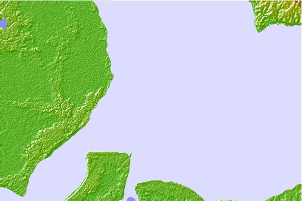
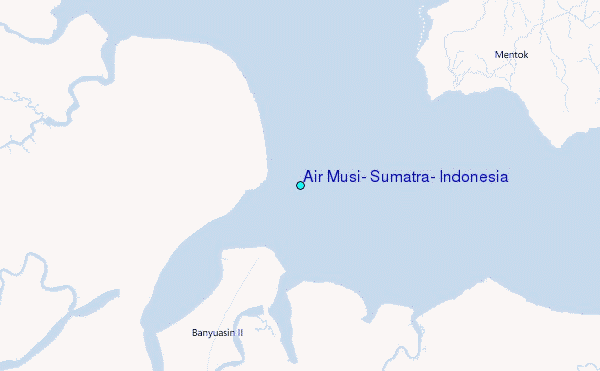
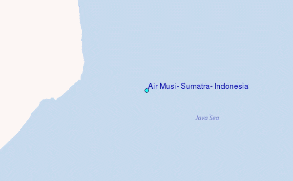
Use this relief map to navigate to tide stations, surf breaks and cities that are in the area of Air Musi, Sumatra, Indonesia.
Other Nearby Locations' tide tables and tide charts to Air Musi, Sumatra, Indonesia:
click location name for more details
 Surf breaks close to Air Musi, Sumatra, Indonesia:
|
||
|---|---|---|
| Closest surf break | Jimmys | 213 mi |
| Second closest surf break | Pulau Pisang | 216 mi |
| Third closest surf break | Krui | 218 mi |
| Fourth closest surf break | Ujung Walur | 220 mi |
| Fifth closest surf break | Mandiri | 222 mi |


 Nearest
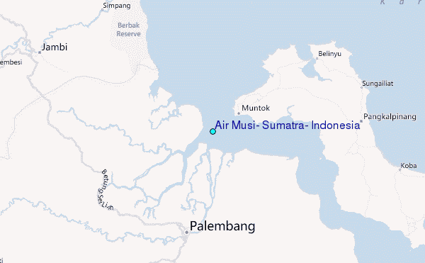