
| Distance / Altitude | Location | Report Date / Time | Live Weather | Wind | Gusts | Temp. | Visibility | Cloud |
|---|---|---|---|---|---|---|---|---|
| 163 km NE / 0 m | lightning 163km NNE of Aitape (Papua New Guinea) | 2026-07-10 09:20 local (2026/07/09 23:20 GMT) | Thunderstorm | (- km/h at -) | — | |||
| 213 km W / 88 m | Jayapura/Sentani Airport (Indonesia) | 2026-07-10 08:30 local (2026/07/09 22:30 GMT) | Dry and partly cloudy | calm (4 km/h at 310) | 25°C | 10.0 | broken broken - | |
| 443 km W / 0 m | lightning 243km WNW of Abepura (Indonesia) | 2026-07-10 07:47 local (2026/07/09 21:47 GMT) | Thunderstorm | (- km/h at -) | — | |||
| 468 km SE / 1587 m | Goroka Highlands Airport (Papua-New Guinea) | 2026-07-10 07:00 local (2026/07/09 21:00 GMT) | - | - (- km/h at -) | — | 30 | - - - | |
| 616 km SE / 70 m | Nadzab (Papua New Guinea) | 2026-07-10 07:00 local (2026/07/09 21:00 GMT) | rain | - (- km/h at -) | 25°C | 30 | - - - | |
| 640 km SE / 3 m | SHIP2529 (Marine) | 2026-07-10 07:00 local (2026/07/09 21:00 GMT) | - (- km/h at -) | 24°C | - | |||
| 640 km SE / 15 m | SHIP5985 (Marine) | 2026-07-10 07:00 local (2026/07/09 21:00 GMT) | - (- km/h at -) | — | - km | |||
| 640 km SE / 15 m | SHIP2030 (Marine) | 2026-07-10 07:00 local (2026/07/09 21:00 GMT) | - (- km/h at -) | — | - km | |||
| 640 km SE / 15 m | SHIP5613 (Marine) | 2026-07-10 08:00 local (2026/07/09 22:00 GMT) | - (- km/h at -) | — | - km | |||
| 640 km SE / 15 m | SHIP1516 (Marine) | 2026-07-10 07:00 local (2026/07/09 21:00 GMT) | - (- km/h at -) | — | - km |
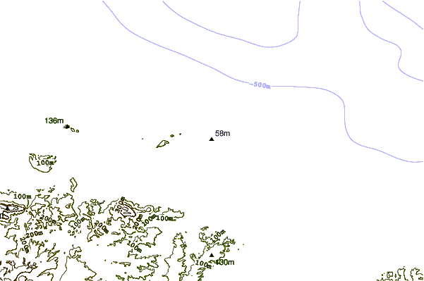
| Contours: | Roads & Rivers: | Select a
tide station / surf break / city |
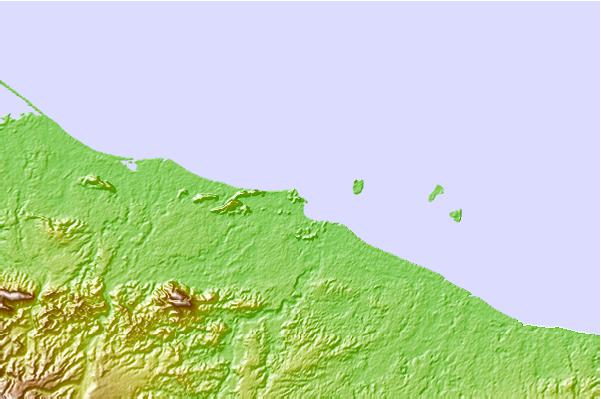
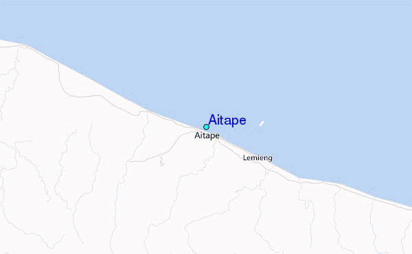
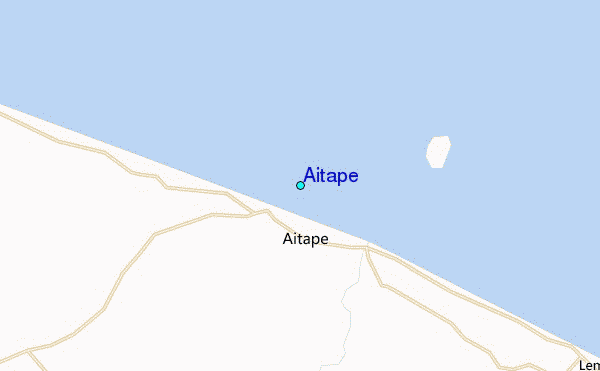
Use this relief map to navigate to tide stations, surf breaks and cities that are in the area of Aitape.
Other Nearby Locations' tide tables and tide charts to Aitape:
click location name for more details
 Surf breaks close to Aitape:
|
||
|---|---|---|
| Closest surf break | Aitape | 1 mi |
| Second closest surf break | Sissano Lagoon | 21 mi |
| Third closest surf break | Tarawai | 62 mi |
| Fourth closest surf break | Karawop | 76 mi |
| Fifth closest surf break | Narimu and Buro Reefs | 76 mi |


 Nearest
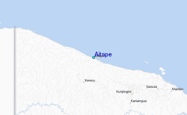