
| Distance / Altitude | Location | Report Date / Time | Live Weather | Wind | Gusts | Temp. | Visibility | Cloud |
|---|---|---|---|---|---|---|---|---|
| 3 km NE / 5 m | Aitutaki Automatic Weather Station (Cook Islands) | 2026-07-09 08:00 local (2026/07/09 18:00 GMT) | no report | wind obs. (17 kph from 90 degs) was rejected (- km/h at -) | 25°C | - | - | |
| 86 km WSW / 3 m | SHIP5394 (Marine) | 2026-07-09 08:00 local (2026/07/09 18:00 GMT) | light winds from the NNE (18 km/h at 30) | 25°C | - | |||
| 214 km SE / 5 m | Enua Airport (Atiu) (Cook Islands) | 2026-07-09 09:00 local (2026/07/09 19:00 GMT) | - | wind obs. (11 kph from 10 degs) was rejected (- km/h at -) | 25°C | |||
| 245 km ESE / 8 m | Mitiaro/Nukuroa Airport (Samoa) | 2026-07-09 09:00 local (2026/07/09 19:00 GMT) | - | light winds from the N (6 km/h at 10) | 25°C | |||
| 261 km S / 209 m | Avarua-Rarotonga International Airport (Samoa/polynesia) | 2026-07-09 09:30 local (2026/07/09 19:30 GMT) | no report | light winds from the E (7 km/h at 100) | 22°C | 20 | few scattered - | |
| 88 km WSW / 3 m | SHIP3588 (Marine) | 2026-07-09 08:00 local (2026/07/09 18:00 GMT) | moderate winds from the NE (21 km/h at 50) | 25°C | - | |||
| 88 km WSW / 15 m | SHIP2301 (Marine) | 2026-07-09 08:00 local (2026/07/09 18:00 GMT) | moderate winds from the NE (20.52 km/h at 50) | 26°C | - km | |||
| 88 km WSW / 15 m | SHIP7852 (Marine) | 2026-07-09 08:00 local (2026/07/09 18:00 GMT) | moderate winds from the NE (20.52 km/h at 50) | 26°C | - km | |||
| 88 km WSW / 3 m | SHIP7593 (Marine) | 2026-07-09 08:00 local (2026/07/09 18:00 GMT) | moderate winds from the NE (21 km/h at 50) | 25°C | - | |||
| 90 km SW / 15 m | SHIP2004 (Marine) | 2026-07-09 09:00 local (2026/07/09 19:00 GMT) | moderate winds from the NNE (22.32 km/h at 20) | 26°C | - km |
| Contours: | Roads & Rivers: | Select a
tide station / surf break / city |
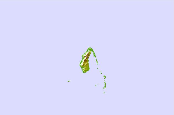
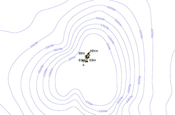
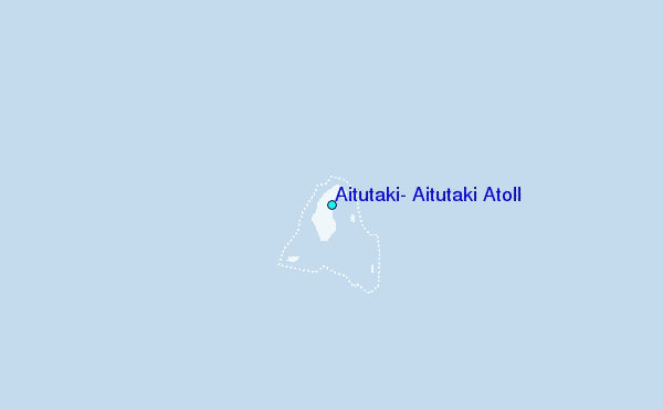
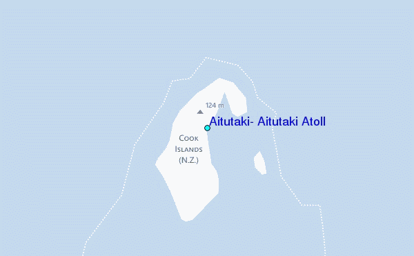
Use this relief map to navigate to tide stations, surf breaks and cities that are in the area of Aitutaki, Aitutaki Atoll.
Other Nearby Locations' tide tables and tide charts to Aitutaki, Aitutaki Atoll:
click location name for more details
 Surf breaks close to Aitutaki, Aitutaki Atoll:
|
||
|---|---|---|
| Closest surf break | Club Raro | 162 mi |
| Second closest surf break | Matai Wreck | 162 mi |
| Third closest surf break | Golf Course | 163 mi |
| Fourth closest surf break | Norrie Park | 164 mi |
| Fifth closest surf break | Avana | 165 mi |


 Nearest