
| Distance / Altitude | Location | Report Date / Time | Live Weather | Wind | Gusts | Temp. | Visibility | Cloud |
|---|---|---|---|---|---|---|---|---|
| 186 km WSW / 0 m | lightning 164km SW of Burutu (Nigeria) | 2026-07-09 19:04 local (2026/07/09 18:04 GMT) | Thunderstorm | (- km/h at -) | — | |||
| 234 km W / 3 m | SHIP1256 (Marine) | 2026-07-09 20:00 local (2026/07/09 19:00 GMT) | - (- km/h at -) | 25°C | - | |||
| 306 km ESE / 611 m | Malabo/Fernando Poo Airport (Equatorial Guinea) | 2026-07-09 20:00 local (2026/07/09 19:00 GMT) | - | light winds from the SW (11 km/h at 220) | — | 10 | scattered - - | |
| 315 km WSW / 0 m | lightning (Nigeria) | 2026-07-09 19:47 local (2026/07/09 18:47 GMT) | Thunderstorm | (- km/h at -) | — | |||
| 394 km WNW / 194 m | Lagos/ikeja Airport (Nigeria) | 2026-07-09 19:00 local (2026/07/09 18:00 GMT) | Dry and partly cloudy | light winds from the S (13 km/h at 190) | 28°C | 10.0 | scattered few | |
| 264 km W / 15 m | SHIP3518 (Marine) | 2026-07-09 19:00 local (2026/07/09 18:00 GMT) | - (- km/h at -) | — | - km | |||
| 264 km W / 15 m | SHIP6440 (Marine) | 2026-07-09 19:00 local (2026/07/09 18:00 GMT) | - (- km/h at -) | — | - km | |||
| 264 km W / 3 m | SHIP5040 (Marine) | 2026-07-09 19:00 local (2026/07/09 18:00 GMT) | - (- km/h at -) | 25°C | - | |||
| 264 km W / 15 m | SHIP2278 (Marine) | 2026-07-09 19:00 local (2026/07/09 18:00 GMT) | - (- km/h at -) | — | - km | |||
| 264 km W / 3 m | SHIP204 (Marine) | 2026-07-09 19:00 local (2026/07/09 18:00 GMT) | - (- km/h at -) | 25°C | - |
| Contours: | Roads & Rivers: | Select a
tide station / surf break / city |
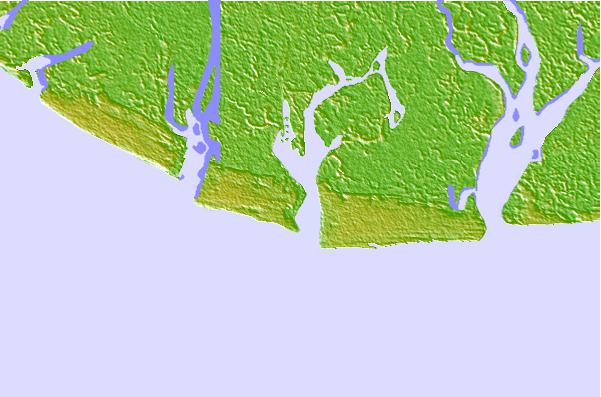
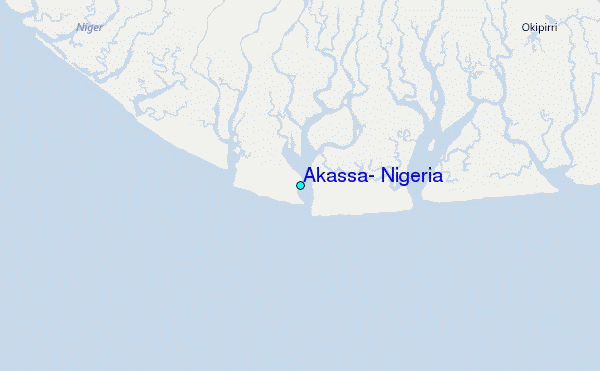
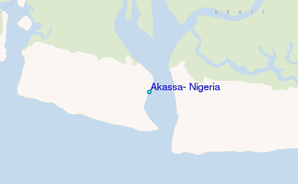
Use this relief map to navigate to tide stations, surf breaks and cities that are in the area of Akassa, Nigeria.
Other Nearby Locations' tide tables and tide charts to Akassa, Nigeria:
click location name for more details
 Surf breaks close to Akassa, Nigeria:
|
||
|---|---|---|
| Closest surf break | Seme Beach Limbe | 213 mi |
| Second closest surf break | Lighthouse Beach | 233 mi |
| Third closest surf break | Tarqua Bay | 234 mi |
| Fourth closest surf break | Shipwreck | 248 mi |
| Fifth closest surf break | Kribi | 282 mi |


 Nearest
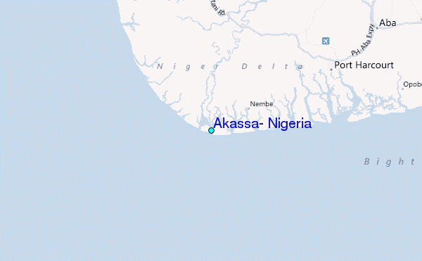