
| Distance / Altitude | Location | Report Date / Time | Live Weather | Wind | Gusts | Temp. | Visibility | Cloud |
|---|---|---|---|---|---|---|---|---|
| 114 km SW / 3 m | BUOY-MRYA2 (Marine) | 2026-07-26 03:32 local (2026/07/26 10:32 GMT) | light winds from the S (8 km/h at 190) | 12°C | - | |||
| 118 km SSW / 3 m | BUOY-TPXA2 (Marine) | 2026-07-26 03:32 local (2026/07/26 10:32 GMT) | calm (2 km/h at 130) | 11°C | - | |||
| 125 km SSW / 10 m | Grey Islet (Aut)- BC (Canada) | 2026-07-26 03:00 local (2026/07/26 10:00 GMT) | no report | light winds from the SE (7 km/h at 140) | 12°C | - | - - - | |
| 126 km SSW / 165 m | Grey Islet Airport (British Columbia) | 2026-07-26 02:00 local (2026/07/26 09:00 GMT) | - | light winds from the S (11 km/h at 190) | — | 0.0 | ||
| 126 km SSE / 713 m | Terrace Airport (British Columbia) | 2026-07-26 02:00 local (2026/07/26 09:00 GMT) | Light rain | fresh winds from the SSE (35 km/h at 160) | 12°C | 13 | few overcast | |
| 126 km SSE / 217 m | Terrace A- BC (Canada) | 2026-07-26 02:00 local (2026/07/26 09:00 GMT) | no report | - (- km/h at -) | 14°C | - | - - - | |
| 133 km SSW / 15 m | SHIP1111 (Marine) | 2026-07-26 03:00 local (2026/07/26 10:00 GMT) | - (- km/h at -) | — | - km | |||
| 133 km WSW / 1 m | Mountain Point wx (United States) | 2026-07-26 03:20 local (2026/07/26 10:20 GMT) | dry | calm (3 km/h at 113) | 11°C | - | - - 0 | |
| 133 km SW / 7 m | Metlakatla wx (United States) | 2026-07-26 03:00 local (2026/07/26 10:00 GMT) | dry | calm (3 km/h at 360) | 11°C | - | - - 0 | |
| 134 km WSW / 3 m | BUOY-SXXA2 (Marine) | 2026-07-26 03:32 local (2026/07/26 10:32 GMT) | calm (5 km/h at 130) | 12°C | - |
| Contours: | Roads & Rivers: | Select a
tide station / surf break / city |
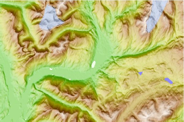
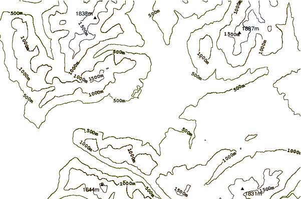
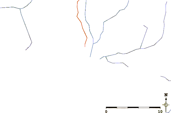
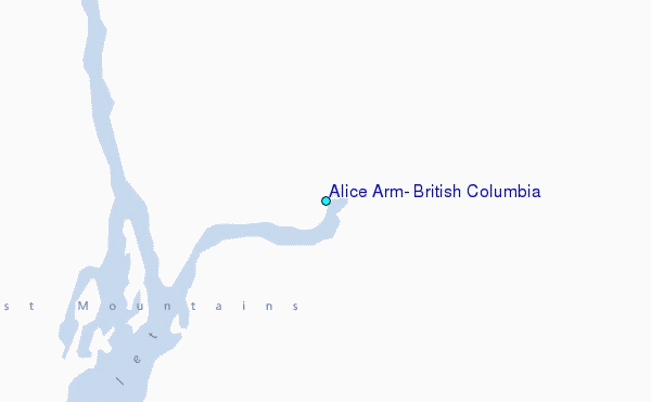
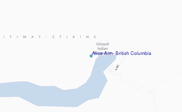
Use this relief map to navigate to tide stations, surf breaks and cities that are in the area of Alice Arm, British Columbia.
Other Nearby Locations' tide tables and tide charts to Alice Arm, British Columbia:
click location name for more details
 Surf breaks close to Alice Arm, British Columbia:
|
||
|---|---|---|
| Closest surf break | Tow Hill Beach | 132 mi |
| Second closest surf break | Lepus Beach (Haida-Gwaii) | 167 mi |
| Third closest surf break | Nootka Island (Calvin Bay) | 416 mi |
| Fourth closest surf break | Tofino (North Chestermans Beach) | 464 mi |
| Fifth closest surf break | South Chesterman Beach | 465 mi |


 Nearest
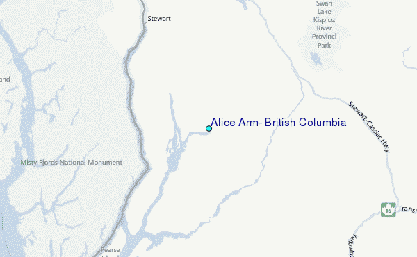