
| Distance / Altitude | Location | Report Date / Time | Live Weather | Wind | Gusts | Temp. | Visibility | Cloud |
|---|---|---|---|---|---|---|---|---|
| 13 km WSW / 23 m | Gurney (Papua New Guinea) | 2026-07-10 06:00 local (2026/07/09 20:00 GMT) | distant precipitation but not falling at station | - (- km/h at -) | 26°C | 30 | - | |
| 369 km W / 48 m | Port Moresby W.o. (Papua New Guinea) | 2026-07-10 07:00 local (2026/07/09 21:00 GMT) | haze | fresh winds from the SSE (30 km/h at 160) | 26°C | 20 | - | |
| 553 km WNW / 15 m | SHIP1586 (Marine) | 2026-07-10 05:00 local (2026/07/09 19:00 GMT) | - (- km/h at -) | — | - km | |||
| 585 km WNW / 70 m | Nadzab W.o. (Papua New Guinea) | 2026-07-10 07:00 local (2026/07/09 21:00 GMT) | rain | - (- km/h at -) | 25°C | 30 | - | |
| 679 km S / 13 m | Bougainville Reef (Australia) | 2026-07-10 06:00 local (2026/07/09 20:00 GMT) | no report | fresh winds from the ESE (31 km/h at 120) | 25°C | - | - | |
| 552 km WNW / 15 m | SHIP3041 (Marine) | 2026-07-10 05:00 local (2026/07/09 19:00 GMT) | - (- km/h at -) | — | - km | |||
| 552 km WNW / 15 m | SHIP8172 (Marine) | 2026-07-10 05:00 local (2026/07/09 19:00 GMT) | - (- km/h at -) | — | - km | |||
| 559 km WNW / 15 m | SHIP2546 (Marine) | 2026-07-10 06:00 local (2026/07/09 20:00 GMT) | - (- km/h at -) | — | - km | |||
| 559 km WNW / 15 m | SHIP7627 (Marine) | 2026-07-10 06:00 local (2026/07/09 20:00 GMT) | - (- km/h at -) | — | - km | |||
| 559 km WNW / 3 m | SHIP4330 (Marine) | 2026-07-10 06:00 local (2026/07/09 20:00 GMT) | - (- km/h at -) | 24°C | - |
| Contours: | Roads & Rivers: | Select a
tide station / surf break / city |
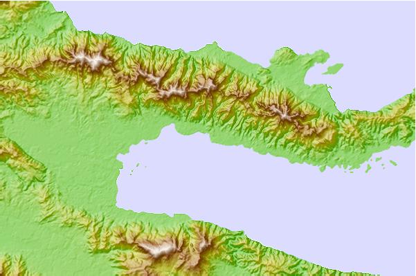
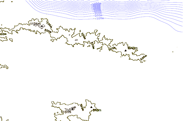
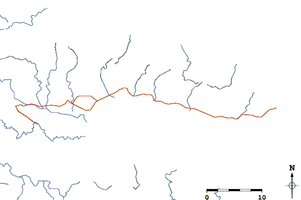
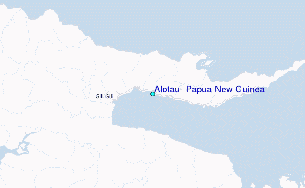
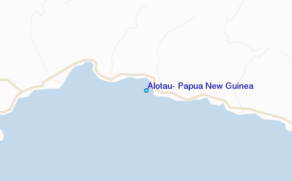
Use this relief map to navigate to tide stations, surf breaks and cities that are in the area of Alotau, Papua New Guinea.
Other Nearby Locations' tide tables and tide charts to Alotau, Papua New Guinea:
click location name for more details
 Surf breaks close to Alotau, Papua New Guinea:
|
||
|---|---|---|
| Closest surf break | Raiven | 429 mi |
| Second closest surf break | Duke of York | 443 mi |
| Third closest surf break | Pailongge | 459 mi |
| Fourth closest surf break | Titiana | 461 mi |
| Fifth closest surf break | Makuti | 469 mi |


 Nearest
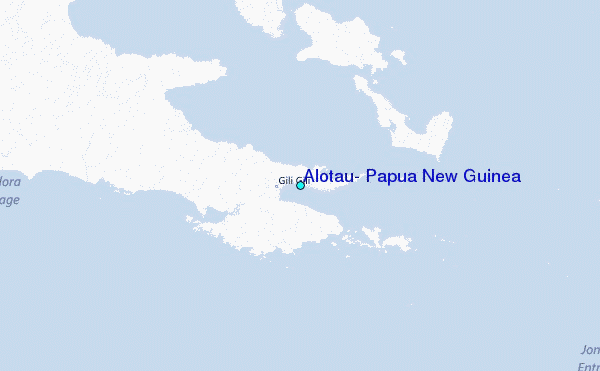