
| Distance / Altitude | Location | Report Date / Time | Live Weather | Wind | Gusts | Temp. | Visibility | Cloud |
|---|---|---|---|---|---|---|---|---|
| 83 km SW / 1 m | Leahari wx (Indonesia) | 2026-07-10 04:17 local (2026/07/09 19:17 GMT) | - | - (- km/h at ) | 27°C | - | - - 0 | |
| 103 km SW / 12 m | Ambon-Pattimura (Indonesia) | 2026-07-10 03:30 local (2026/07/09 18:30 GMT) | Dry and partly cloudy | calm (4 km/h at 200) | 25°C | 10.0 | scattered | |
| 216 km N / 15 m | SHIP2749 (Marine) | 2026-07-10 03:00 local (2026/07/09 18:00 GMT) | calm (3.6 km/h at 160) | — | - km | |||
| 563 km NE / 0 m | lightning 144km WNW of Manokwari (Indonesia) | 2026-07-10 04:03 local (2026/07/09 19:03 GMT) | Thunderstorm | (- km/h at -) | — | |||
| 699 km WNW / 374 m | Menado/Sam Ratulangi International Airport (Indonesia) | 2026-07-10 03:30 local (2026/07/09 18:30 GMT) | - | light winds from the S (11 km/h at 170) | 28°C | 10.0 | few | |
| 454 km WNW / 15 m | SHIP3419 (Marine) | 2026-07-10 03:00 local (2026/07/09 18:00 GMT) | strong winds from the SSE (44.64 km/h at 160) | 26°C | 17.7 km | |||
| 454 km WNW / 15 m | SHIP6356 (Marine) | 2026-07-10 03:00 local (2026/07/09 18:00 GMT) | strong winds from the SSE (44.64 km/h at 160) | 26°C | 17.7 km | |||
| 562 km NE / 0 m | lightning 144km WNW of Manokwari (Indonesia) | 2026-07-10 04:03 local (2026/07/09 19:03 GMT) | Thunderstorm | (- km/h at -) | — | |||
| 697 km WNW / 374 m | Menado/Sam Ratulangi International Airport (Indonesia) | 2026-07-10 03:30 local (2026/07/09 18:30 GMT) | - | light winds from the S (11 km/h at 170) | 28°C | 10.0 | few | |
| 817 km E / 0 m | lightning 146km N of Nabire (Indonesia) | 2026-07-10 04:17 local (2026/07/09 19:17 GMT) | Thunderstorm | (- km/h at -) | — |
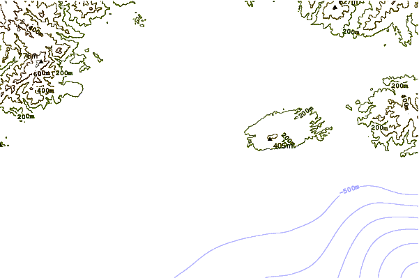
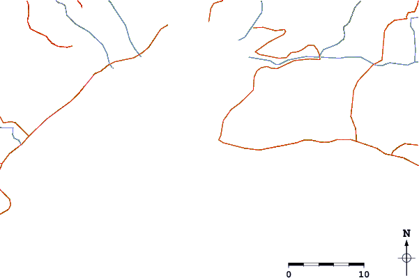
| Contours: | Roads & Rivers: | Select a
tide station / surf break / city |
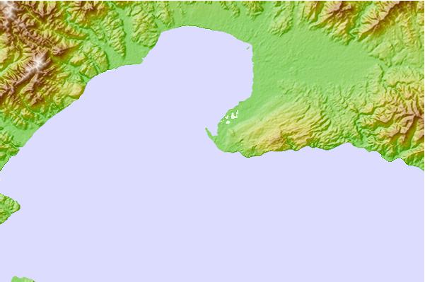
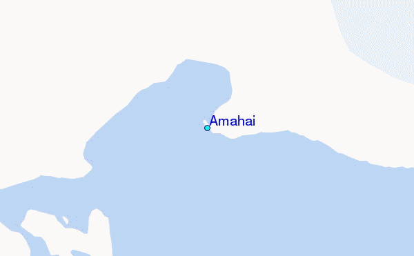
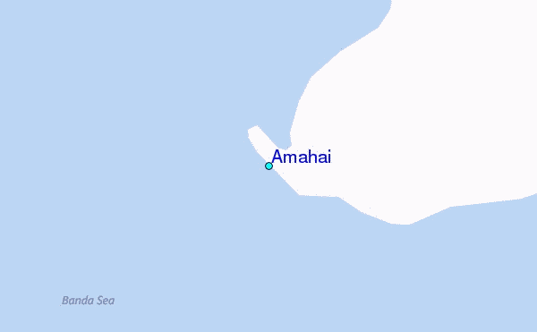
Use this relief map to navigate to tide stations, surf breaks and cities that are in the area of Amahai.
Other Nearby Locations' tide tables and tide charts to Amahai:
click location name for more details
 Surf breaks close to Amahai:
|
||
|---|---|---|
| Closest surf break | Digger | 485 mi |
| Second closest surf break | Nembrala | 569 mi |
| Third closest surf break | Casuarina (Darwin) | 631 mi |
| Fourth closest surf break | Rapid Creek - Beach | 638 mi |
| Fifth closest surf break | Rapid Creek - Bar | 639 mi |


 Nearest
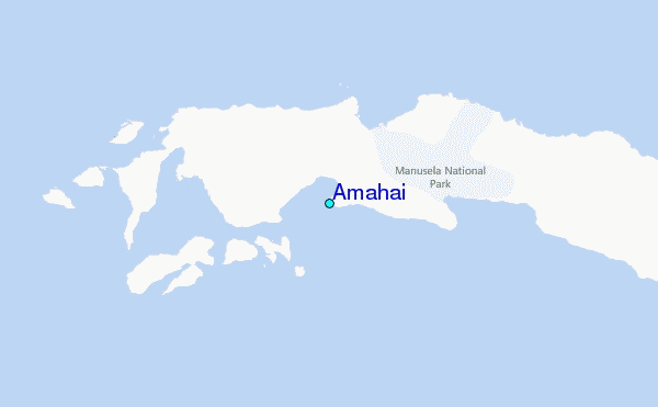