
| Distance / Altitude | Location | Report Date / Time | Live Weather | Wind | Gusts | Temp. | Visibility | Cloud |
|---|---|---|---|---|---|---|---|---|
| 2 km N / 33 m | thunderstorm affecting Amungan (Philippines) | 2026-07-10 01:03 local (2026/07/09 17:03 GMT) | Thunderstorm | (- km/h at -) | — | |||
| 4 km SSE / 5 m | Iba (Philippines) | 2026-07-10 02:00 local (2026/07/09 18:00 GMT) | thunderstorm but no precipitation falling at station | wind obs. (18 kph from 220 degs) was rejected (- km/h at -) | 32°C | 20 | - | |
| 22 km SSE / 0 m | lightning 4km SW of Panan (Philippines) | 2026-07-10 01:03 local (2026/07/09 17:03 GMT) | Thunderstorm | (- km/h at -) | — | |||
| 36 km S / 0 m | lightning 26km WSW of Cabangan (Philippines) | 2026-07-10 02:33 local (2026/07/09 18:33 GMT) | Thunderstorm | (- km/h at -) | — | |||
| 68 km ESE / 155 m | Clark AB (Philippines) | 2026-07-10 02:00 local (2026/07/09 18:00 GMT) | - | wind obs. (18 kph from 180 degs) was rejected (- km/h at -) | — | 15 | - - - | |
| 71 km ESE / 584 m | Angeles/Pampanga Airport (Philippines) | 2026-07-10 02:00 local (2026/07/09 18:00 GMT) | - | wind obs. (7 kph from 140 degs) was rejected (- km/h at -) | 28°C | 10.0 | few | |
| 71 km SSE / 0 m | Olongapo/Subic Bay Airport (Philippines) | 2026-07-10 02:00 local (2026/07/09 18:00 GMT) | Thunderstorm heavy rain thunderstorm | light winds from the N (11 km/h at 1) | 27°C | 0.0 | few broken overcast | |
| 85 km NNE / 219 m | Dagupan (Philippines) | 2026-07-10 02:00 local (2026/07/09 18:00 GMT) | - | wind obs. (7 kph from 160 degs) was rejected (- km/h at -) | — | 12 | - - - | |
| 88 km E / 19 m | Santa Lucia wx (Philippines) | 2026-07-10 03:11 local (2026/07/09 19:11 GMT) | dry | calm (2 km/h at 273) | 26°C | - | - - 0 | |
| 111 km S / 0 m | lightning 81km WSW of Sabang (Philippines) | 2026-07-10 02:01 local (2026/07/09 18:01 GMT) | Thunderstorm | (- km/h at -) | — |
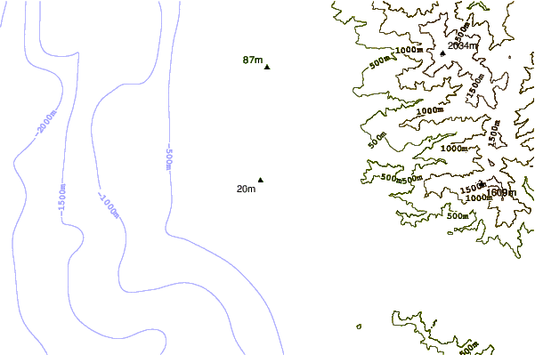
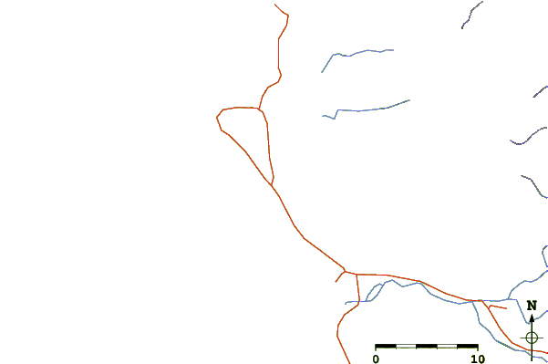
| Contours: | Roads & Rivers: | Select a
tide station / surf break / city |
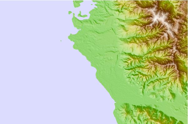
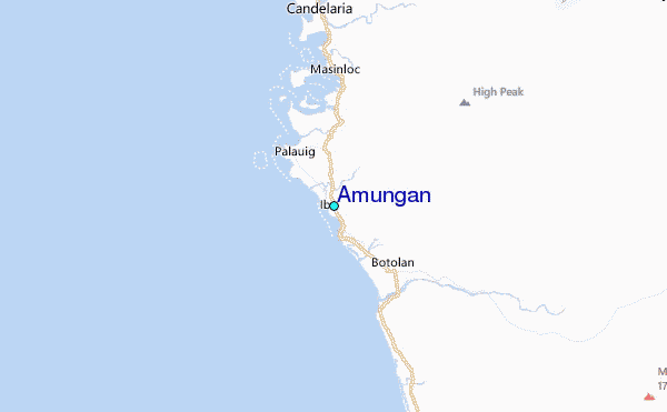
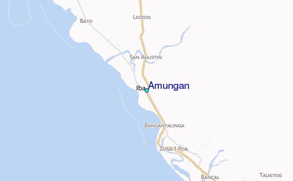
Use this relief map to navigate to tide stations, surf breaks and cities that are in the area of Amungan.
Other Nearby Locations' tide tables and tide charts to Amungan:
click location name for more details
 Surf breaks close to Amungan:
|
||
|---|---|---|
| Closest surf break | Bauang | 85 mi |
| Second closest surf break | Poro Point | 88 mi |
| Third closest surf break | Car-rille | 89 mi |
| Fourth closest surf break | Mona Liza Point | 92 mi |
| Fifth closest surf break | San Juan | 93 mi |


 Nearest
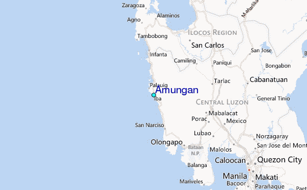